Periférico Oriente Mexico City: Visiting Hours, Tickets, and Travel Guide
Date: 15/06/2025
Introduction to Periférico Oriente, Mexico City
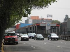
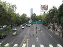
Periférico Oriente is a crucial segment of Mexico City’s Anillo Periférico, a ring road that serves as a vital transportation artery and a dynamic urban frontier. Conceived in the mid-20th century to accommodate the city’s rapid population growth—from 2.2 million in 1950 to over 20 million by the 2010s—Periférico Oriente has evolved to become a boundary and bridge, delineating the city’s eastern edge while integrating emerging neighborhoods into the greater metropolitan area (National Geographic; Urbanet).
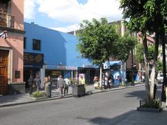
More than a highway, Periférico Oriente is a vibrant corridor reflecting Mexico City’s socio-spatial shifts. It hosts diverse communities, bustling commercial zones, and green spaces like Parque Lineal Vicente Guerrero, promoting sustainable urban living (MexicoCity.cdmx.gob.mx; C40 Cities). The Periférico Oriente metro station on Line 12, inaugurated in 2012, further establishes the area as a transportation hub with multimodal options, including buses and the Cablebús aerial system (Wikipedia; SallySees.com).
For travelers, Periférico Oriente offers accessible public spaces, cultural insights, and practical connectivity. It is a gateway to attractions such as the historic San Lorenzo Tezonco Church, Chapultepec Castle, and the canals of Xochimilco, enriching any itinerary with history, local life, and natural beauty (MexicoHistorico.com; NomadicMatt.com).
This guide provides comprehensive information on the history, urban significance, transportation options, visitor logistics, safety tips, and top nearby attractions—helping you make the most of your visit to Periférico Oriente and beyond.
Table of Contents
- Discovering Periférico Oriente: A Vital Urban Corridor and Visitor’s Guide
- Periférico Oriente Metro Station: Visitor Guide
- Chapultepec Castle: Hours, Tickets, and Visitor Tips
- San Lorenzo Tezonco Church: Hours, Tips, and Nearby Attractions
- Summary and Final Tips
- References and Further Reading
Discovering Periférico Oriente: A Vital Urban Corridor and Visitor’s Guide
Historical Evolution of Periférico Oriente
Origins and Urban Expansion
Periférico Oriente is a key part of the Anillo Periférico, Mexico City’s ring road system, envisioned in the 20th century to manage urban expansion and connect outlying neighborhoods with the city center. The city’s built area expanded by 128% between 1990 and 2014, driving development into former rural areas (New Geography). Periférico Oriente emerged as both a boundary for urban sprawl and a connector for new communities.
Socio-Spatial Transformation
Originally surrounded by informal settlements, Periférico Oriente has been transformed by rapid demographic changes. Since the 1980s, most population growth has occurred outside the historic city core, creating a patchwork of new housing, commercial spaces, and public amenities (New Geography).
Urban Significance and Connectivity
Transportation Hub
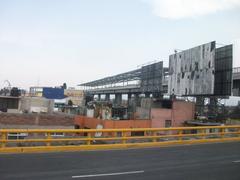
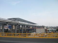
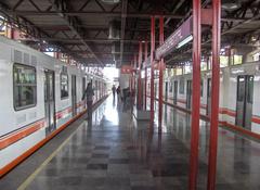
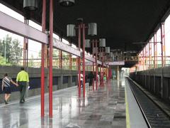
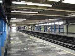
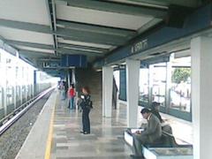
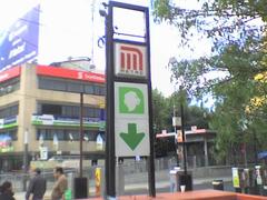
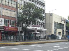
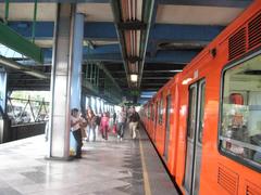
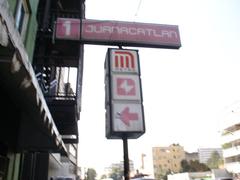
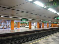
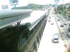
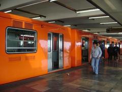
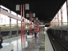
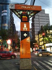
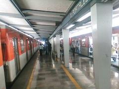
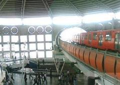
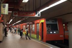
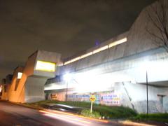
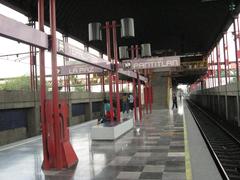
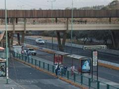
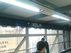
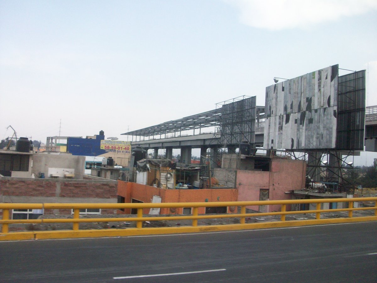
The Periférico Oriente metro station on Line 12, inaugurated in 2012, serves southeastern neighborhoods and stands as a modern, elevated station with strong accessibility features (Wikipedia). The station’s symbol, a guard tower, references the nearby Reclusorio Oriente correctional facility. Additional connections via bus routes and the Cablebús Line 2 aerial system further extend the area’s reach (MexicoCity.cdmx.gob.mx).
Urban Development and Public Space
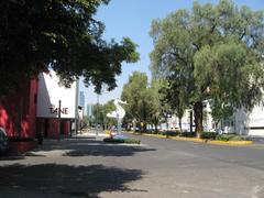
The city’s Comprehensive Mobility Program prioritizes public transit and pedestrian-friendly spaces (C40 Cities). Parque Lineal Vicente Guerrero, a linear park built on a former highway median, exemplifies the shift toward greener, more livable neighborhoods (MexicoCity.cdmx.gob.mx).
Socioeconomic and Cultural Dynamics
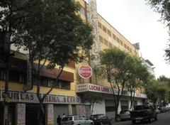
Periférico Oriente reflects the diversity of Mexico City, with a mix of residential, commercial, and institutional spaces. Informal vendors, a hallmark of local commerce since Aztec times, add vibrancy to the area, while planners strive to balance safety, accessibility, and community needs (MIT News).
Periférico Oriente in Metropolitan Growth
Boundary and Bridge
Periférico Oriente functions as both a boundary and a bridge between the dense city core and outlying neighborhoods (New Geography). With over 80% of Mexico’s population living in urban areas as of 2018, it is central to the city’s ongoing transformation (Urbanet).
Transit-Oriented Development and Future Prospects
Efforts to cluster housing and services around transit points aim to reduce car dependence (C40 Cities). While challenges remain—such as affordable housing and informal commerce—investments in public transit and green infrastructure are setting the stage for a more sustainable urban future.
Practical Visitor Information
Visiting Hours and Tickets
- Periférico Oriente Urban Corridor: Open and accessible at all times; no entrance fee.
- Periférico Oriente Metro Station: Daily service from approximately 5:00 AM to midnight; single-ride fare is 5 MXN pesos. Rechargeable metro cards are available at stations.
- Parque Lineal Vicente Guerrero: Open daily from 6:00 AM to 8:00 PM; free entry.
Guided Tours and Events
While the main corridor is not a formal tourist site, local organizations may offer guided walking tours on urban development and cultural heritage. For up-to-date schedules, consult local tourism websites. Nearby destinations such as Xochimilco and Tláhuac are renowned for their own guided experiences.
Accessibility and Safety
The area is well-served by Metro Line 12, buses, and the Cablebús. Metro stations and parks are designed for accessibility. Periférico Oriente is generally safe for visitors during the day—exercise standard urban precautions, especially in crowded transit zones (Tripindicator).
Nearby Attractions
- Parque Lineal Vicente Guerrero: Green space for recreation and community events.
- Xochimilco: UNESCO World Heritage canals and trajinera boat rides.
- Tláhuac: Local markets and cultural festivals.
Frequently Asked Questions (FAQs)
How do I get to Periférico Oriente?
Via Metro Line 12, Periférico Oriente station. Buses and Cablebús Line 2 are additional options.
What are the hours for Parque Lineal Vicente Guerrero?
6:00 AM to 8:00 PM, daily, with free admission.
Is Periférico Oriente safe for visitors?
Yes, especially during daytime; use common sense and keep valuables secure.
Are tickets required to visit?
No, the area is public. Metro rides are 5 pesos per trip.
When is the best time to visit?
Mornings and late afternoons avoid peak commuter congestion.
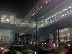
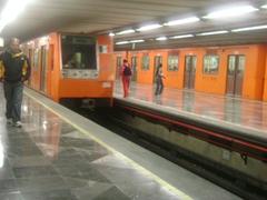
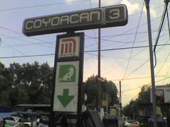
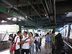
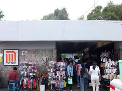
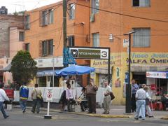
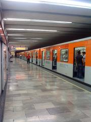
Alt text: Periférico Oriente Metro Station entrance with commuters
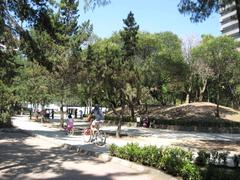
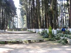
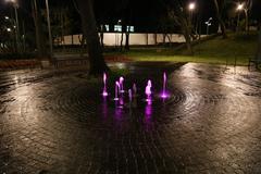
Alt text: People enjoying the green spaces at Parque Lineal Vicente Guerrero adjacent to Periférico Oriente
Alt text: Map highlighting Periférico Oriente in Mexico City with metro and Cablebús lines
Periférico Oriente Metro Station: Visitor Guide
Historical Context and Significance
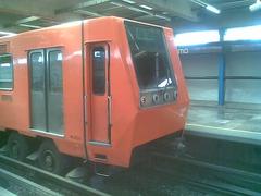
Opened in 2012 as part of the Line 12 expansion, Periférico Oriente Metro Station is a cornerstone of Mexico City’s modern public transportation system (MexicoHistorico.com). Nicknamed the “Golden Line,” Line 12 connects southeastern boroughs to the city center and provides vital service for millions of daily commuters.
The station’s design incorporates accessibility features and public art, reflecting local heritage. It is not just a transit point, but also a cultural gateway and a practical link to various neighborhoods.
Visiting Hours, Tickets, and Accessibility
- Operating Hours:
- Weekdays: 5:00 AM–midnight
- Saturdays: 6:00 AM–midnight
- Sundays and public holidays: 7:00 AM–midnight (SallySees.com)
- Tickets:
- Use a rechargeable CDMX Metro card (purchase at station kiosks).
- Each ride is 5 pesos; cards are valid on Metro, Metrobus, and other integrated systems (MexicoTravelSecrets.com).
- Accessibility:
- Elevators, ramps, tactile paving, and audio announcements for the visually impaired (MexicoHistorico.com).
Safety Tips
Stay alert for pickpockets, especially during peak hours. Women-only carriages are available during rush times, and ride-sharing apps are recommended for after-dark journeys (MexicoTravelSecrets.com).
Station Layout and Facilities
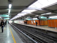
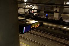
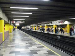
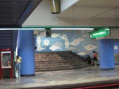
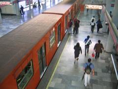
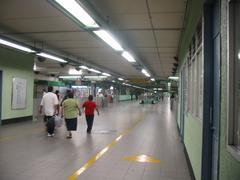
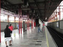
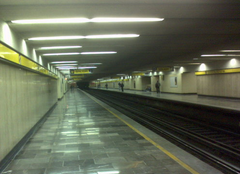
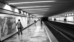
The station features wide platforms, clear signage, real-time train updates, and public art installations that celebrate local culture (MexicoHistorico.com).
Transportation Connections
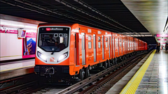
- Metro Line 12: Runs from Mixcoac (west) to Tláhuac (southeast), with modern and earthquake-resistant trains.
- Metrobus BRT: Connects seamlessly using the same Metro card (SallySees.com).
- Other Options: Local buses, colectivos, and ride-sharing apps like Uber, Didi, and Indrive (MexicoTravelSecrets.com).
Local Area and Nearby Attractions
While primarily a transit hub, Periférico Oriente offers access to markets, eateries, and authentic community life. The station is a jumping-off point for exploring the city’s east and connecting to attractions like Chapultepec, Roma, Condesa, and day trips to pueblos mágicos (NomadicMatt.com).
Sustainability and Future Developments
The Metro is central to reducing congestion and emissions, with ongoing upgrades and integration with other transit modes (MexicoHistorico.com).
FAQ
What are the opening hours?
5:00 AM weekdays, 6:00 AM Saturdays, 7:00 AM Sundays and holidays, until midnight.
How much is a ride?
5 pesos; use a rechargeable Metro card.
Is the station accessible?
Yes, with elevators, ramps, tactile paving, and audio announcements.
What connections are available?
Metro Line 12, Metrobus, buses, colectivos, and ride-sharing.
How can I plan my visit?
Use the official Metro website or apps for updates.
Chapultepec Castle: Hours, Tickets, and Visitor Tips
Overview
Chapultepec Castle, atop Chapultepec Hill, is a historic and architectural gem. Built from the 18th to 19th centuries, it has served as an imperial residence, presidential home, military academy, and now houses the National Museum of History. The castle’s exhibits span Mexico’s colonial, independence, and revolutionary eras, featuring murals, period furnishings, and panoramic city views.
Visiting Information
- Hours: Tuesday–Sunday, 9:00 AM–5:00 PM (last entry 4:00 PM). Closed Mondays and select holidays.
- Tickets: Affordable admission, discounts for students, seniors, and children. Sundays are free for Mexican citizens and residents. Buy online to avoid lines.
- Getting There: Located in Chapultepec Park, accessible from Chapultepec Metro (Line 1) or via authorized taxis/rideshares.
Visitor Tips
- Safety: Safe during the day; avoid isolated areas after dark.
- Personal Security: Watch for pickpockets, use anti-theft bags, choose authorized transport.
- Health: Check air quality, drink bottled water, and select reputable food vendors.
- Accessibility: Wheelchair access at main entrances, though some areas have limited accessibility.
Nearby Attractions
- Chapultepec Park: Lakes, museums, zoo, gardens.
- Museo Tamayo: Modern art museum.
- National Museum of Anthropology: Renowned cultural exhibits.
Tours and Photography
Guided tours (often for an extra fee) are available. Photography is allowed without flash; tripods may be restricted. The castle’s terrace offers the best city views, especially in morning or late afternoon light.
FAQ
- Can I buy tickets at the entrance? Yes, but online purchase is recommended.
- Is food available? Café near the entrance; snacks allowed in the park.
- Are guided tours included? Usually not; check for availability.
- Is photography allowed? Yes, except with flash or tripods.
- Is it safe for solo travelers/families? Yes, with standard precautions.
San Lorenzo Tezonco Church: Hours, Tips, and Nearby Attractions
Overview and Historical Significance
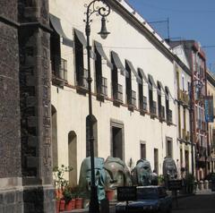
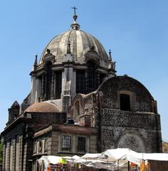
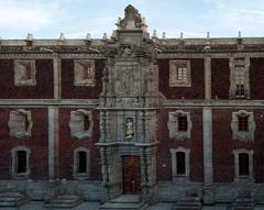
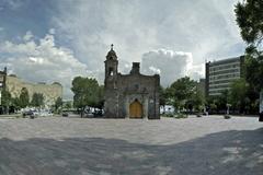
The San Lorenzo Tezonco Church in Iztapalapa is a colonial-era landmark, embodying the area’s religious and architectural history. With ornate altars and stonework, it serves as a center for community festivals and ceremonies.
Visiting Information
- Hours: Daily, 9:00 AM–6:00 PM. Admission is free.
- Guided Tours: Available during festivals or by local arrangement; check tourism websites for updates.
Features and Visitor Tips
- Admire colonial architecture and detailed altarpieces.
- Feast days, especially the celebration of Saint Lawrence, feature vibrant processions and music.
- Easily reached via Periférico Oriente Metro station.
- Photography is welcome; please be respectful during services.
Nearby Attractions
- Parque Las Antenas: Shopping and rooftop amusement park (0.42 km from the metro).
- Mercado San Lorenzo Tezonco: Local food and crafts (0.79 km).
- Utopía Tezontli: Community center and green space (0.85 km).
- Cuemanco Boat Launch/Xochimilco Ecological Park: UNESCO-listed canals, 13 minutes by taxi.
Local Community and Safety
San Lorenzo Tezonco is a lively neighborhood blending tradition and modernity. Exercise caution with valuables in busy areas, and use authorized transportation, especially at night.
FAQ
- Is there an entrance fee? No.
- When is the best time to visit? Weekday mornings for quiet; feast days for culture.
- Are guided tours available? Occasionally—check locally.
- How do I get there? Periférico Oriente Metro, Line 12.
- Are there dining options? Yes, at nearby markets and malls.
Summary and Final Tips
Periférico Oriente encapsulates Mexico City’s urban evolution—serving as a transportation hub, a community corridor, and a gateway to cultural and historical sites. It is accessible via metro, Metrobus, Cablebús, and ride-sharing, and features green spaces like Parque Lineal Vicente Guerrero that embody the city’s drive toward sustainability (C40 Cities; MexicoCity.cdmx.gob.mx).
Whether you’re exploring historical landmarks, local markets, or simply navigating the city, Periférico Oriente offers a unique perspective on Mexico City’s rich history and vibrant present. Planning your trip with public transportation, keeping safety in mind, and engaging with local culture will ensure a memorable visit. Stay connected with resources like the Audiala app for real-time transit and event updates.
References and Further Reading
- Urban Growth in Mexico City Over Time, 2015, National Geographic (National Geographic)
- Urbanisation and Urban Development in Mexico, 2021, Urbanet (Urbanet)
- Expanding Productive Mexico City: The Evolving Urban Form, 2017, New Geography (New Geography)
- Periférico Oriente Metro Station, 2024, Wikipedia (Wikipedia)
- Parque Lineal Vicente Guerrero, 2024, MexicoCity.cdmx.gob.mx (MexicoCity.cdmx.gob.mx)
- Mexico City Transportation Overhaul Guides Urban Development, 2020, C40 Cities (C40 Cities)
- Transit-Oriented Development in Mexico City, 2017, MIT News (MIT News)
- Best Way to Get Around Mexico City, 2024, SallySees.com (SallySees.com)
- Mexico City Travel Tips, 2023, MexicoTravelSecrets.com (MexicoTravelSecrets.com)
- The Story Behind Mexico City’s Iconic Metro System, 2023, MexicoHistorico.com (MexicoHistorico.com)
- Things to Do in Mexico City, 2024, NomadicMatt.com (NomadicMatt.com)
- Mexico City Tourist Attractions Map, 2024, Tripindicator (Tripindicator)
- Official Mexico City Visitor’s Guide, 2024, MexicoCity.cdmx.gob.mx (MexicoCity.cdmx.gob.mx)
