Sentier Des Adonides: Visiting Hours, Tickets, and Comprehensive Guide to Brussels’ Historical Urban Pathway
Date: 14/06/2025
Introduction
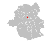
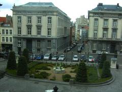
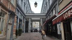
The Sentier Des Adonides (French) or Adonissenpad (Dutch) is a picturesque pedestrian pathway that winds through the historic heart of Brussels. More than just a means of getting from one neighborhood to another, this urban trail is a living tapestry of the city’s layered history, vibrant multicultural identity, and commitment to sustainable urban development. It connects green spaces, cultural landmarks, and bustling markets, offering both locals and visitors an authentic experience away from the main tourist hubs (brussels.info, visit.brussels).
Whether you are a history enthusiast, a cultural explorer, or simply looking for a tranquil stroll, this guide provides all the essential information: visiting hours, ticketing (when applicable), accessibility, nearby attractions, safety, and insider tips. You’ll also gain insight into how the Sentier Des Adonides fits into Brussels’ broader urban vision—prioritizing heritage conservation, sustainability, and community engagement (be.brussels, Nature.com).
Table of Contents
- Historical Origins and Etymology
- Development Through the Centuries
- Features and Visitor Experience
- Visiting Hours, Ticketing, and Accessibility
- Integration with Green and Public Spaces
- Urban Connectivity
- Preservation and Future Prospects
- Safety, Sustainability, and Responsible Tourism
- Frequently Asked Questions (FAQ)
- Summary Table: Quick Facts for Visitors
- References
Historical Origins and Etymology
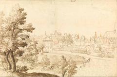
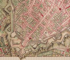
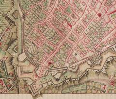
The pathway’s name, Sentier Des Adonides, references Adonis from Greek mythology, reflecting Brussels’ tradition of naming streets after mythological and historical figures. The area’s urban development mirrors Brussels’ own, dating back to its founding in 979 CE (brussels.info). The city’s name itself—“Broeksel” in Old Dutch, meaning “home in the marsh”—alludes to its origins as a marshland settlement along the Senne River (brusselsmap360.com).
Development Through the Centuries
Medieval and Modern Urban Growth
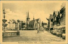
Brussels’ medieval expansion saw the creation of networks of streets and pedestrian paths, with the Sentier Des Adonides originally serving as an informal connector between markets, neighborhoods, and religious sites. Despite sweeping modernization in the 19th and 20th centuries—including the dismantling of city walls and construction of the Inner Ring Road—historic pathways like the Sentier Des Adonides were preserved and adapted (be.brussels).
Contemporary Urban Planning
Today, the pathway is integrated within Brussels’ “city of proximity” model, promoting walkability, sustainability, and cultural heritage. Investments continue to improve the trail’s infrastructure, maintain its historical character, and enhance its role as a social and ecological corridor (brussels.be).
Features and Visitor Experience
What to Expect
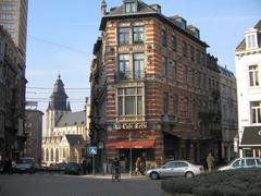
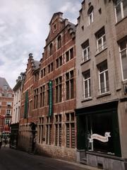
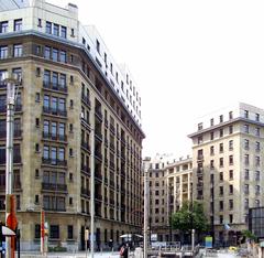
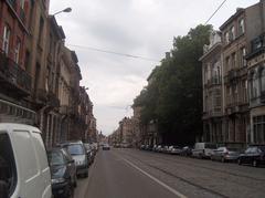
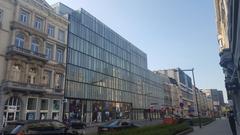
- Atmosphere: The path evokes a sense of authenticity, lined with residential buildings, local businesses, and green spaces—a tranquil alternative to the city’s busier tourist sites.
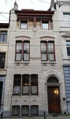
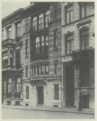
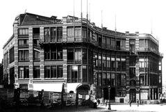
- Photography: Look out for Art Nouveau facades, public murals, and local markets, all ideal for capturing Brussels’ urban charm (openalfa.be).
- Cultural Events: Occasional festivals and guided tours—such as the Enter Festival BXL—offer deeper immersion. Check visit.brussels for current listings.
- Nearby Attractions: The Grand Place, Royal Museums of Fine Arts, and Kanal cultural center are all within easy reach (Smart Tourism Capital).
Visiting Hours, Ticketing, and Accessibility
Essential Information
- Visiting Hours: Open 24/7, year-round; best experienced during daylight.
- Tickets: No entrance fees or permits required. Some nearby museums and guided tours may charge (check visit.brussels for details).
- Accessibility: The path is wheelchair-friendly, with smooth surfaces and nearby low-floor buses and trams. The area benefits from Brussels’ inclusive urban design policies (visit.brussels).
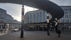
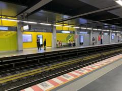
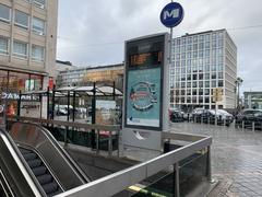
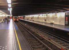
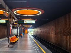
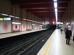
- Getting There: The Bascule light rail/bus station is a 4-minute walk away; use the STIB/MIVB journey planner or the FLOYA mobility app for real-time updates (Moovit).
Integration with Green and Public Spaces
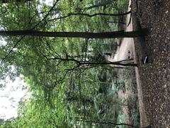
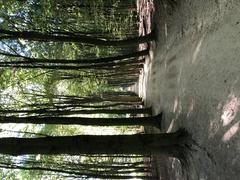
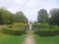
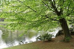
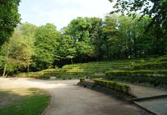
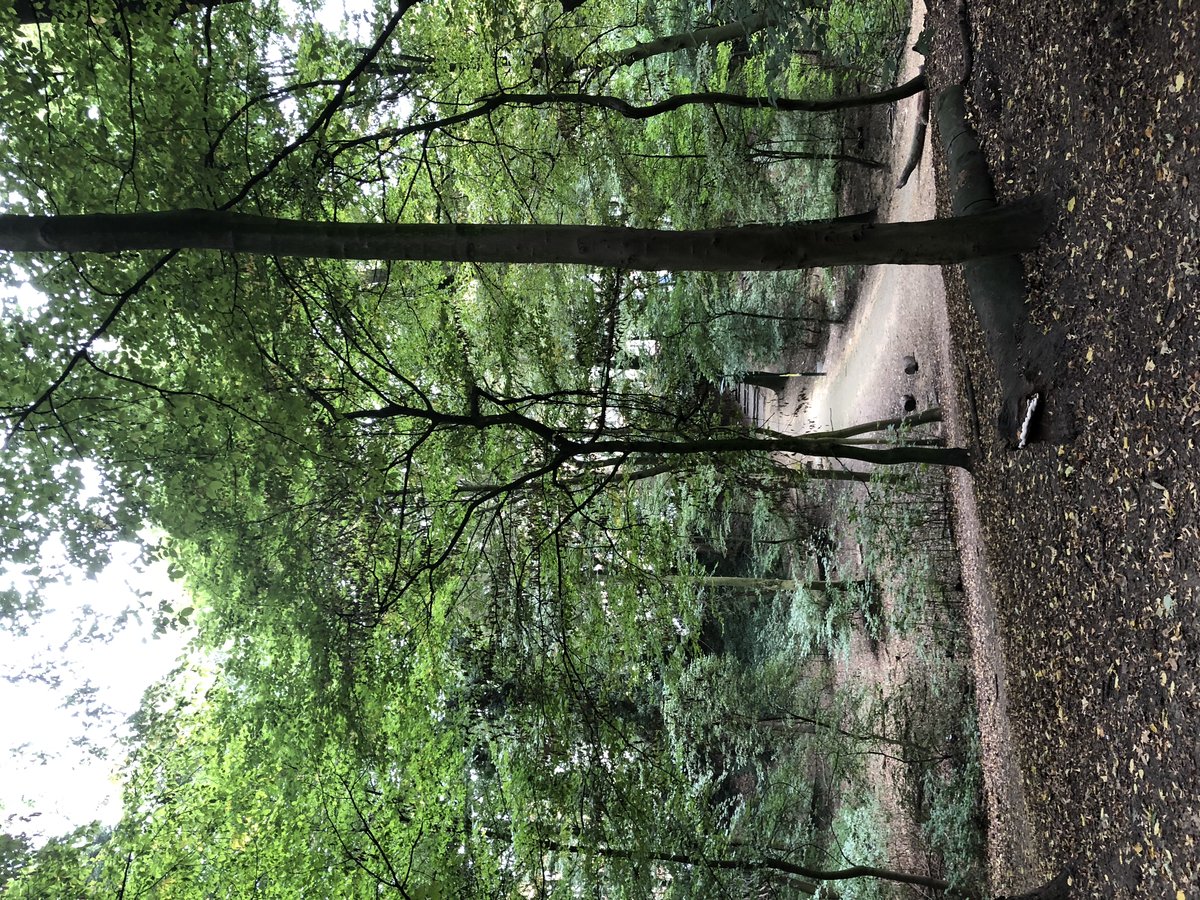
The Sentier Des Adonides exemplifies Brussels’ dedication to green urbanism, linking parks, gardens, and the Promenade Verte. Urban renewal projects have introduced benches, informative signage, and stepping stones, celebrating the city’s cultural and natural heritage (urbanagendaplatform.org).
Urban Connectivity
This pathway underpins Brussels’ ambition to be a “15-minute city,” ensuring that residential, commercial, and recreational amenities are within easy reach for everyone. The city’s bike-sharing system (Villo!) and an expanding network of cycling lanes also make the area accessible for cyclists (Nature.com).
Preservation and Future Prospects
Brussels’ urban planning framework actively balances growth with heritage conservation. The Sentier Des Adonides is protected through integrated planning, ensuring its continued vitality as both a historical artifact and a functional public space. Ongoing investments in green infrastructure and public amenities are expected to further enhance its appeal (brussels.be).
Safety, Sustainability, and Responsible Tourism
Safety
- General: Brussels is considered safe, though petty crimes like pickpocketing do occur—especially in crowded areas. Exercise standard precautions (The Broke Backpacker, Travel Safe Abroad).
- Health & Emergencies: Emergency number is 112; pharmacies and clinics are easily accessible (Full Suitcase).
- Nighttime Visits: Stick to well-lit, populated areas if visiting after dark.
Sustainability
- Transport: Walking, cycling, and public transport are encouraged to reduce environmental impact (European Commission).
- Waste: Use public bins and recycling points along the trail.
- Support Local: Patronize local shops and markets to support the community (Visit Brussels).
Frequently Asked Questions (FAQ)
Q: Is the Sentier Des Adonides free to visit?
A: Yes, it’s freely accessible at all times.
Q: Are guided tours available?
A: Yes, occasionally through local organizations or during festivals. Check visit.brussels for schedules.
Q: Is the path accessible for wheelchairs and strollers?
A: Most sections are accessible; however, some cobblestoned areas may be challenging.
Q: What are the best times to visit?
A: Spring and early autumn for mild weather and vibrant street life; mornings and late afternoons for photography.
Q: Are there restrooms or cafés nearby?
A: While the path itself is residential, nearby streets offer cafés, shops, and public restrooms.
Summary Table: Quick Facts for Visitors
| Aspect | Details |
|---|---|
| Location | City of Brussels, Belgium |
| Accessibility | On foot, by bike, or public transport |
| Visiting Hours | Open 24/7; best during daylight |
| Tickets | Free entry; no tickets required |
| Safety | Generally safe; exercise standard precautions |
| Amenities | Nearby cafés, shops, public transport |
| Language | French and Dutch; English widely understood |
| Nearby Attractions | Grand Place, Brussels Park, Botanical Garden |
| Special Tips | Wear comfortable shoes, bring rain gear |
References
- brussels.info
- visit.brussels
- openalfa.be
- Nature.com
- be.brussels
- brussels.be
- Smart Tourism Capital
- World Cities Culture Forum
- urbanagendaplatform.org
- Moovit
- The Broke Backpacker
- Travel Safe Abroad
- Full Suitcase
Call to Action
For interactive maps, updated event listings, and self-guided tours, download the Audiala app and follow us on social media. Experience Brussels’ unique blend of history, culture, and sustainability—one step at a time along the Sentier Des Adonides.
