Mapo Bridge: Visiting Hours, Tickets, and Comprehensive Tourist Guide to Mapo Bridge, Seoul
Date: 14/06/2025
Introduction
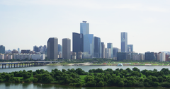
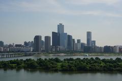
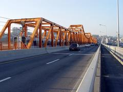
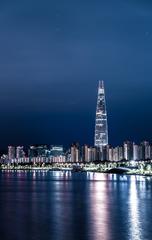
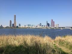
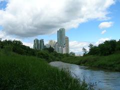
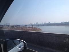
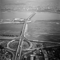
Mapo Bridge (마포대교, Mapo Daegyo) is one of Seoul’s most distinguished landmarks, gracefully spanning the Han River and connecting the bustling districts of Mapo and Yeongdeungpo. Completed in 1970 during a transformative period in South Korea’s urban development, Mapo Bridge serves not just as a critical transportation link but also as a cultural symbol reflecting the city’s resilience and commitment to public well-being. It is renowned for its panoramic views, accessible walkways, and especially its significant role in mental health advocacy and suicide prevention. This guide provides everything you need to know before visiting Mapo Bridge—including historical context, architectural highlights, travel tips, accessibility information, nearby attractions, and practical advice to ensure a memorable and meaningful experience.
For the latest updates and resources, consult the Seoul Metropolitan Government Tourism website and the Korea Tourism Organization.
Table of Contents
- Introduction
- History and Construction of Mapo Bridge
- Architectural Features and Transformations
- Socio-Cultural Significance and the “Bridge of Life”
- Suicide Prevention Initiatives and Public Interventions
- Visiting Mapo Bridge: Hours, Accessibility, and Getting There
- Nearby Attractions and Activities
- Practical Tips for Visitors
- Frequently Asked Questions (FAQ)
- Essential Contacts and Emergency Information
- Conclusion and Summary
- References
History and Construction of Mapo Bridge
Mapo Bridge was constructed in the late 1960s and officially opened in 1970, amid South Korea’s rapid modernization and economic growth. Named after the historically significant Mapo area, the bridge was envisioned as a vital infrastructural artery, enhancing connectivity between the Mapo and Yeongdeungpo districts. Its completion marked a milestone in Seoul’s urban expansion and symbolized the country’s ambitions in rebuilding its capital after the war (Korea Tourism Organization).
Architectural Features and Transformations
The bridge is a steel box girder structure extending approximately 1.4 kilometers (0.87 miles) and 25 meters wide. It supports four lanes of vehicular traffic in each direction, with pedestrian walkways flanking both sides. Over the years, Mapo Bridge has undergone renovations to reinforce its structure, widen pedestrian paths, and introduce modern LED lighting, which enhances its appearance at night and contributes to Seoul’s dynamic riverfront skyline (Trip.com).
Socio-Cultural Significance and the “Bridge of Life”
Beyond its architectural merit, Mapo Bridge holds deep social and cultural resonance. It has appeared in Korean films and television dramas as a symbol of the city’s vibrancy—and its challenges. Between the late 2000s and mid-2010s, the bridge became known for a high number of suicide attempts, prompting national reflection on mental health and social support systems. In response, city authorities, in partnership with private organizations, launched the “Bridge of Life” initiative in 2012, transforming Mapo Bridge from a site of tragedy to one of hope and advocacy (Medium).
Suicide Prevention Initiatives and Public Interventions
The “Bridge of Life” Campaign
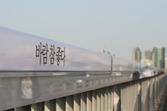
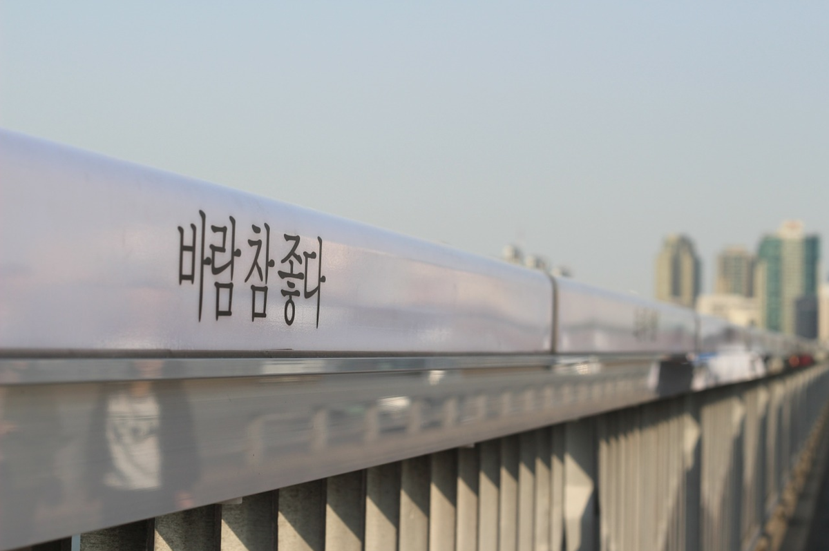
Installed in 2012, the “Bridge of Life” campaign introduced motion-activated LED lights and railings featuring encouraging and empathetic messages such as “The most shining moment of your life has yet to come.” These messages, developed alongside psychologists and advertising experts, were intended to offer hope and prompt reflection among at-risk individuals. While the campaign received international recognition, it also faced criticism for the tone of some messages, leading to their removal in 2019 (Korea Herald).
Physical and Ongoing Safety Measures
Additional interventions have included:
- High anti-suicide railings (installed in 2016)
- Dozens of CCTV cameras and emergency bells
- The installation of hotline phones across Han River bridges (over 9,000 calls made between 2011 and 2021)
- A “roller system” to physically prevent climbing over railings
- Statues and public art promoting empathy and support
These efforts have contributed to a significant reduction in suicide attempts on Mapo Bridge, although some displacement to other bridges has been observed (Channel News Asia; Srabon Trails).
Visiting Mapo Bridge: Hours, Accessibility, and Getting There
Visiting Hours and Entry
- Open 24/7: Mapo Bridge is accessible to pedestrians and vehicles at all hours. There are no entrance gates or closing times.
- No Tickets or Entry Fees: Walking or cycling across the bridge is free for everyone (Visit Seoul).
Accessibility
- Wheelchair-Friendly: Wide sidewalks, ramps, and smooth surfaces ensure accessibility for visitors with mobility needs.
- Public Facilities: Nearby Han River parks feature accessible restrooms and amenities.
Getting There
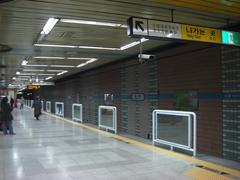
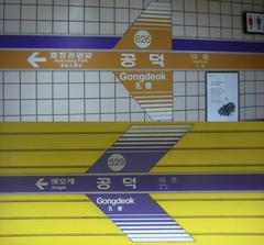
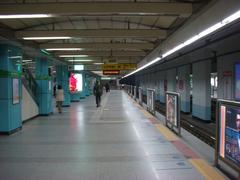
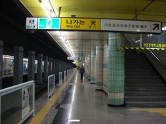
- By Subway:
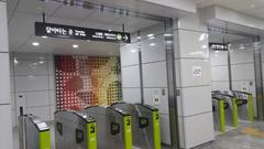
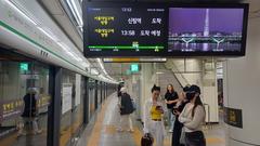
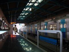
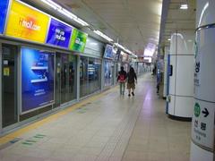
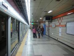
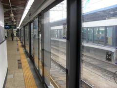
- Yeouinaru Station (Line 5): Exit 2, southern bridge access
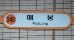
- Mapo Station (Line 5): Short walk to the northern end
- By Bus: Numerous city buses serve the Mapo and Yeouido areas.
- By Bicycle: Seoul’s public bike-sharing system, Ttareungi, has stations near both ends of Mapo Bridge.
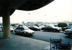
- By Taxi: Taxis are plentiful; show “마포대교” (Mapo Daegyo) to the driver.
For real-time directions, use transit apps like KakaoMap or Naver Map (Korea Travel Post).
Nearby Attractions and Activities
Mapo Bridge’s central location makes it an excellent starting point for further exploration:
- Yeouido Hangang Park: A riverside park ideal for cycling, picnics, and festivals (Hangang Park Information).
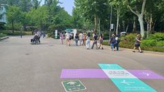
- Seoul Color Park and Road of Wind: Art installations and observatory spaces at the southern end (Visit Seoul).
- 63 Square (63 Building): Observation deck, aquarium, and art gallery (approx. 26-minute walk) (Trek Zone).
- Hongdae (Hongik University Area): Youthful district famous for street art, indie music, and trendy cafés.
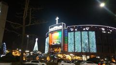
- Yoido Full Gospel Church: The world’s largest Pentecostal congregation.
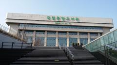
- National Assembly Library: Insight into Korea’s legislative history.
Practical Tips for Visitors
- Best Times to Visit: Spring (cherry blossoms) and autumn (foliage) offer the most pleasant weather. Evenings provide stunning cityscape views and bridge illumination.
- What to Bring: Camera, water, light jacket for river breezes, sun protection in summer, and warm clothes in winter.
- Safety: Seoul is generally safe, but standard travel precautions apply. For emergencies, dial 119 for fire/ambulance or 112 for police (Visit Seoul Safety).
- Respect: Be mindful of the bridge’s association with mental health. Avoid insensitive behavior and be considerate of those visiting for personal reasons.
- Guided Tours: Some Seoul city tours include Mapo Bridge. Check with local operators for details.
Frequently Asked Questions (FAQ)
Q: What are the visiting hours of Mapo Bridge?
A: The bridge is open 24/7 and accessible at all times.
Q: Are there any entrance fees?
A: No, access is free for all visitors.
Q: Is Mapo Bridge wheelchair accessible?
A: Yes, sidewalks and nearby facilities are designed for wheelchair and stroller access.
Q: What is the best time of day to visit?
A: Sunset and evening for panoramic views and city lights.
Q: Are guided tours available?
A: Some city walking and cycling tours include Mapo Bridge. Check with local tourism providers.
Q: Can I rent a bike nearby?
A: Yes, Ttareungi bike stations are located near the bridge.
Essential Contacts and Emergency Information
- Police: 112
- Fire/Ambulance: 119
- Tourist Police: 1330 (multi-language support)
- Seoul Danurim Tourism Center: 1670-0880 (Seoul Danurim Tourism Center)
Conclusion and Summary
Mapo Bridge stands as a multifaceted symbol in Seoul—an essential piece of infrastructure and a beacon of cultural and social responsibility. Its transformation from a vital urban connector to a place of advocacy and hope underscores the city’s ongoing efforts to address mental health and foster public well-being. The bridge’s 24-hour accessibility, sweeping Han River views, and proximity to major parks and cultural sites make it a must-visit destination for both contemplation and recreation. To fully appreciate all that Mapo Bridge and its surroundings offer, plan ahead, explore nearby attractions, and remain mindful of the bridge’s poignant narrative. For up-to-date travel guidance, events, and accessibility services, refer to official tourism platforms like the Seoul Metropolitan Government Tourism website and the Korea Mental Health Association.
References
- Seoul Metropolitan Government Tourism
- Korea Tourism Organization
- The Sun - Suicide Prevention at Mapo Bridge
- Korea Herald
- Channel News Asia
- Medium - Bridge of Life Project
- Trip.com - Mapo Bridge
- Visit Seoul - Road of Wind and Seoul Color Park
- Srabon Trails - Mapo Suicidal Bridge
- Travel Through Life - Mapo Bridge Experience
- Korea Travel Post - Seoul Attractions
- Trek Zone - Mapo Bridge and Nearby Sites
- Seoul Danurim Tourism Center
- Seoul Bike Ttareungi
- Hangang Park Information
