Javier Prado Avenue Lima: Visiting Hours, Tickets, and Travel Guide
Date: 15/06/2025
Introduction to Javier Prado Avenue in Lima
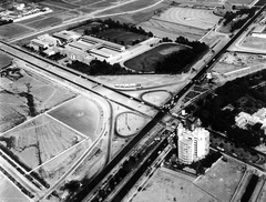
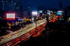
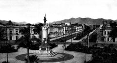
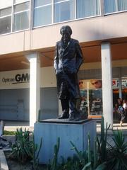
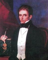
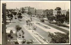
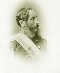
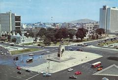
Avenida Javier Prado is one of Lima, Peru’s most vital and iconic thoroughfares, spanning approximately 15 kilometers from the coastal district of Magdalena del Mar in the west to Ate in the east. Named in honor of Javier Prado y Ugarteche—a distinguished Peruvian philosopher, politician, and educator—the avenue symbolizes Lima’s transformation from a colonial city to a modern metropolis (Vía Satelital).
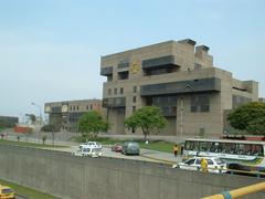
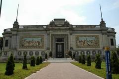
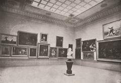
Serving as a critical east-west artery, Javier Prado connects diverse districts such as San Isidro, San Borja, La Victoria, and Ate, each contributing unique cultural, commercial, and architectural elements to the cityscape (Planetizen; Lima Visitor). Along its route, travelers encounter financial centers, embassies, cultural landmarks, vibrant markets, and residential neighborhoods. Key sites include the Museo de la Nación and the National Museum of Archaeology, Anthropology, and History near the “La Cultura” Metro station (Museo Nacional).
Javier Prado Avenue is easily accessible via public transit—including the Lima Metro, Corredor Rojo BRT, and city buses—making it convenient for visitors to explore, despite frequent traffic congestion during peak hours (LimaEasy; TripSavvy).
This guide provides in-depth information on the history, districts, landmarks, transportation, safety, accessibility, and insider tips for experiencing Javier Prado Avenue. Whether you’re a culture lover, business traveler, or tourist, you’ll find essential advice for discovering one of Lima’s most dynamic urban corridors (MyAdventuresAcrossTheWorld; Travel.gc.ca).
Table of Contents
- Origins and Naming of Avenida Javier Prado
- Urban Development and Historical Context
- Urban Significance and Role in Lima’s Infrastructure
- Key Districts and Landmarks Along Javier Prado Avenue
- How to Visit Avenida Javier Prado
- Accessibility and Visitor Tips
- Environmental and Social Challenges
- Evolution and Future Prospects
- Public Transportation Options Along Javier Prado Avenue
- Safety Considerations for Tourists on Javier Prado Avenue
- Practical Tips for Navigating Javier Prado Avenue
- Frequently Asked Questions (FAQ)
- Summary Table: Transportation and Safety on Javier Prado Avenue
- References and Further Reading
Origins and Naming of Avenida Javier Prado
Avenida Javier Prado is named after Javier Prado y Ugarteche, a prominent figure in Peruvian intellectual and political history. The avenue’s naming reflects Peru’s tradition of commemorating individuals who have advanced national progress (Vía Satelital).
Urban Development and Historical Context
Colonial and Republican Urban Planning
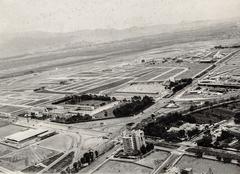
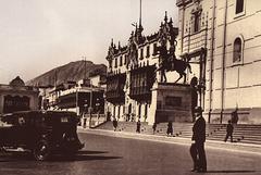
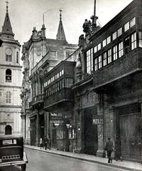
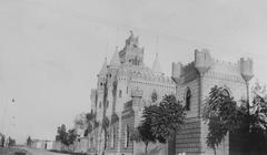
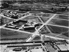
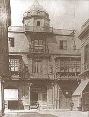
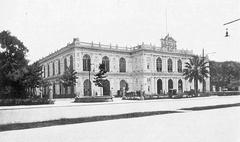
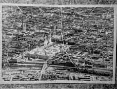
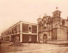
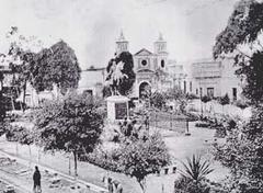
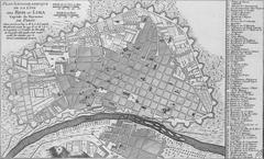
Lima’s city plan originally followed a rigid Spanish colonial grid, with growth constrained for centuries (Planetizen). In the late 19th and early 20th centuries, the city expanded beyond its colonial core, and new boulevards—including Avenida Javier Prado—emerged as symbols of modernization (Planetizen).
Avenue Construction and Expansion
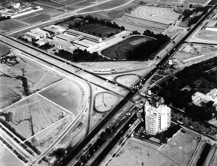
Designed to facilitate east-west connectivity, Javier Prado traverses districts from Magdalena del Mar to Ate, including San Isidro, Lince, La Victoria, and San Borja (Vía Satelital). The division into Javier Prado Este (East) and Javier Prado Oeste (West), separated by Avenida Arequipa, addresses the city’s growing traffic and complex geography.
Urban Significance and Role in Lima’s Infrastructure
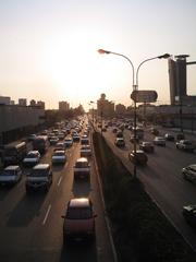
Javier Prado is the fourth most trafficked road in Lima, serving as a crucial conduit for both private vehicles and public transportation (Vía Satelital). It links residential, commercial, and institutional zones, making it essential for daily commutes and urban logistics.
The avenue is also a key transit corridor, with bus routes, the Corredor Rojo BRT, and the Lima Metro intersecting its path (Lima Visitor), thus enhancing citywide connectivity.
Key Districts and Landmarks Along Javier Prado Avenue
Magdalena del Mar
The western starting point, Magdalena del Mar, is a tranquil district with residential neighborhoods and ocean views. While not a major tourist hub, it offers an authentic Lima experience.
San Isidro
San Isidro, Lima’s financial center, features modern skyscrapers and embassies. Notable landmarks include:
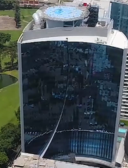
- The Westin Lima Hotel & Convention Center
- Andean Community Headquarters
- El Olivar Park (open 5 a.m. to 9 p.m.)
This district is known for upscale restaurants and hotels.
San Borja
San Borja is a cultural hotspot with:
- Museo de la Nación (Tue–Sun, 9 a.m.–5 p.m., free on Sundays)
- Gran Teatro Nacional
- Shopping centers and local eateries
La Victoria
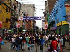
La Victoria is home to the bustling Gamarra Textile Market (Mon–Sat, 9 a.m.–7 p.m.), a major commercial area where visitors should remain vigilant due to busy crowds.
San Luis
A residential district with local markets, offering a glimpse of everyday life in Lima.
Ate
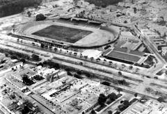
At the eastern end, Ate marks the city’s urban fringe, with industrial zones and residential growth. The Estadio Monumental, Peru’s largest stadium, is a key landmark here.
How to Visit Avenida Javier Prado
- Getting There: Use Lima’s Metro (Line 1, “La Cultura” station), Corredor Rojo BRT, city buses, or taxis.
- Parking: Limited, available mainly at shopping centers and business districts.
- Best Times: Visit mid-morning or early afternoon to avoid peak traffic.
Accessibility and Visitor Tips
- Key metro stations and modern bus services like Corredor Rojo are wheelchair accessible.
- Exercise standard urban safety, especially at night or in crowded markets.
- Carry small change for fares and keep valuables secure.
- Use translation apps or basic Spanish phrases, as most signage is in Spanish.
Environmental and Social Challenges
Traffic Congestion and Pollution: Heavy congestion, especially during rush hours, contributes to noise and air pollution. Infrastructure improvements like express lanes and green medians are ongoing (Redalyc).
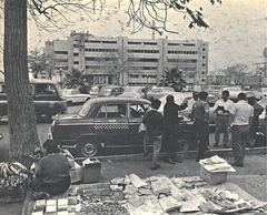
Urban Informality: Street vendors and informal transportation add vibrancy and complexity to the avenue’s daily life (Planetizen).
Evolution and Future Prospects
Javier Prado is central to Lima’s urban modernization, with projects such as Metro expansion and improved bus rapid transit aiming to reduce congestion and boost mobility (Planetizen).
Public Transportation Options Along Javier Prado Avenue
Buses and Microbuses
Numerous routes operate along the avenue, but the system is largely informal and may be confusing for newcomers (LimaEasy).
Corredor Rojo (Red Corridor)
A modern BRT system running dedicated lanes, with electronic fare payment and reliable schedules. Fares: S/. 1.50–2.50 (LimaEasy).
Metro de Lima
Line 1 intersects Javier Prado at “La Cultura” station, close to major landmarks. Fast, safe, affordable (S/. 1.50 per trip) (Moovit).
Taxis and Ride-Hailing Apps
Use apps like Uber, Beat, or InDriver for safety and transparent fares (TripSavvy). Avoid street taxis for long-distance or airport transfers.
Traffic Conditions
Expect congestion during weekday rush hours (7–10 a.m., 5–9 p.m.). Plan travel accordingly (TripSavvy).
Safety Considerations for Tourists on Javier Prado Avenue
- General Safety: San Isidro and San Borja are among Lima’s safest districts (MyAdventuresAcrossTheWorld).
- Pickpocketing/Bag Snatching: Stay alert in crowds. Keep valuables secured.
- Counterfeit Currency: Exchange money only at banks or official exchange houses (Travel.gc.ca).
- District-Specific Tips: Avoid side streets in La Victoria at night; use taxis or ride-hailing apps in Ate after dark.
- Political Demonstrations: Rarely affect Javier Prado, but stay informed and avoid large gatherings (Travel.gc.ca).
- Taxi Scams: Use ride-hailing apps or official taxis for airport transfers (Travel.gc.ca).
- Night Travel: Well-lit but avoid isolated areas late at night.
Emergency Services: Dial 105 for police. Major hospitals include Clínica Ricardo Palma and Hospital Edgardo Rebagliati.
Practical Tips for Navigating Javier Prado Avenue
- Carry small change for fares.
- Learn key stops: National Museum, National Library, La Rambla, Jockey Plaza.
- Ask locals for directions—Limeños are helpful.
- Only show documents to uniformed officers.
- Use secure ATMs inside banks/malls.
Frequently Asked Questions (FAQ)
Q: What are the best transport options for the National Museum?
A: Metro de Lima (Line 1, La Cultura station) or Corredor Rojo BRT.
Q: What are the museum’s hours and ticket prices?
A: Tuesday–Sunday, 9:00 am–5:00 pm; admission around S/. 10.
Q: Is Javier Prado Avenue safe?
A: Yes, especially in San Isidro and San Borja. Use standard precautions.
Q: How can I avoid taxi scams?
A: Prefer ride-hailing apps or official airport taxis.
Summary Table: Transportation and Safety on Javier Prado Avenue
| Mode of Transport | Fare (S/.) | Hours | Safety Level | Notes |
|---|---|---|---|---|
| Microbus/Combi | 0.80–2.50 | 5am–11pm | Moderate | Crowded, watch for pickpockets, ask locals for routes |
| Corredor Rojo | 1.50–2.50 | 6am–10pm | High | Modern, reliable, electronic payment |
| Metro de Lima (Line 1) | 1.50 | 6am–10pm | High | Fast, safe, connects to major sites |
| Taxi/Ride-hailing | 10–30 | 24/7 | High (with apps) | Use apps for safety and fair pricing |
References and Further Reading
- Avenida Javier Prado: Exploring Lima’s Most Iconic Urban Artery – History, Attractions, and Travel Tips (Vía Satelital)
- Urban Planning in Lima (Planetizen)
- Transportation in Lima (Lima Visitor)
- Public Transportation in Lima (LimaEasy)
- Lima Public Transportation Guide (TripSavvy)
- Is Lima Safe for Tourists? (MyAdventuresAcrossTheWorld)
- Travel Safety Advice for Peru (Travel.gc.ca)
- Traffic Congestion and Noise Pollution in Lima (Redalyc)
- National Museum of Archaeology, Anthropology, and History of Peru (Museo Nacional)
By exploring Avenida Javier Prado, you gain insight into Lima’s urban diversity, historical evolution, and vibrant cultural life. For updated travel tips and safe navigation, consider downloading the Audiala app and following official tourism channels.
