Plan and listen to Tamanduateí with Audiala.
Audio guide in your pocket, itinerary in your browser. Built for the way you actually visit.
Introduction: The Historical and Cultural Significance of Tamanduateí
The Tamanduateí River and its surrounding neighborhoods form a living narrative of São Paulo’s evolution—from its early indigenous settlements and colonial foundation, through industrialization and urban expansion, to present-day revitalization projects. A natural landmark and economic lifeline, the Tamanduateí has shaped the growth and character of the city, influencing its neighborhoods, infrastructure, and cultural identity (saopaulostopover.com.br, g1.globo.com). Today, this corridor is at the center of ambitious urban interventions designed to harmonize heritage preservation, sustainability, and quality of life (prefeitura.sp.gov.br).
This guide provides a comprehensive overview of Tamanduateí’s historical sites, practical visitor information—including hours, tickets, and accessibility—and highlights nearby attractions, travel tips, and insights into the ongoing revitalization that is reconnecting São Paulo with its riverine past.
Early Indigenous and Colonial Roots
The Tamanduateí River, whose name means "river of many turns" in Tupi, has been central to São Paulo’s geography and history (saopauloinfoco.com.br). Before colonization, its winding course shaped the landscape for indigenous communities. The city’s foundation in 1554 at the confluence of the Tamanduateí and Anhangabaú rivers, marked by the Páteo do Colégio, set the stage for São Paulo’s growth (saopaulostopover.com.br).
Early colonial settlers depended on the Tamanduateí for water, fishing, transportation, and daily chores. The river’s sinuous path even inspired local place names like "Beco das 7 voltas," reflecting its prominent presence (saopauloinfoco.com.br).
Economic and Urban Significance in the 19th Century
By the 1800s, the Tamanduateí was a vital commercial artery. The Porto Geral, at the end of Ladeira Porto Geral, functioned as a major entry point for goods and people, including enslaved individuals—a sobering reminder of Brazil’s history (g1.globo.com). The river’s banks supported homes, commerce, and a vibrant daily life, with the várzeas (floodplains) serving as communal and economic spaces (saopauloinfoco.com.br).
Urbanization and Canalization
Explosive growth between the late 19th and early 20th centuries led to dramatic changes. The Tamanduateí’s winding course was straightened and canalized to make way for roads, industry, and infrastructure. By the 1920s, much of its original path was replaced with engineered channels, mirroring transformations seen on other city rivers (g1.globo.com, folha.uol.com.br). This process, while facilitating urban growth, distanced residents from direct contact with the river.
Shaping São Paulo’s Neighborhoods
The Tamanduateí has influenced the development of neighborhoods such as Cambuci, Mooca, Ipiranga, Vila Carioca, and Vila Prudente (prefeitura.sp.gov.br). These areas, once wetlands, became hubs for industry and working-class life. The ongoing Operação Urbana Consorciada Bairros do Tamanduateí (OUCBT), approved in 2024, aims to foster sustainable growth, improve infrastructure, and preserve historical and environmental assets along the river corridor.
Modern Infrastructure and Mobility
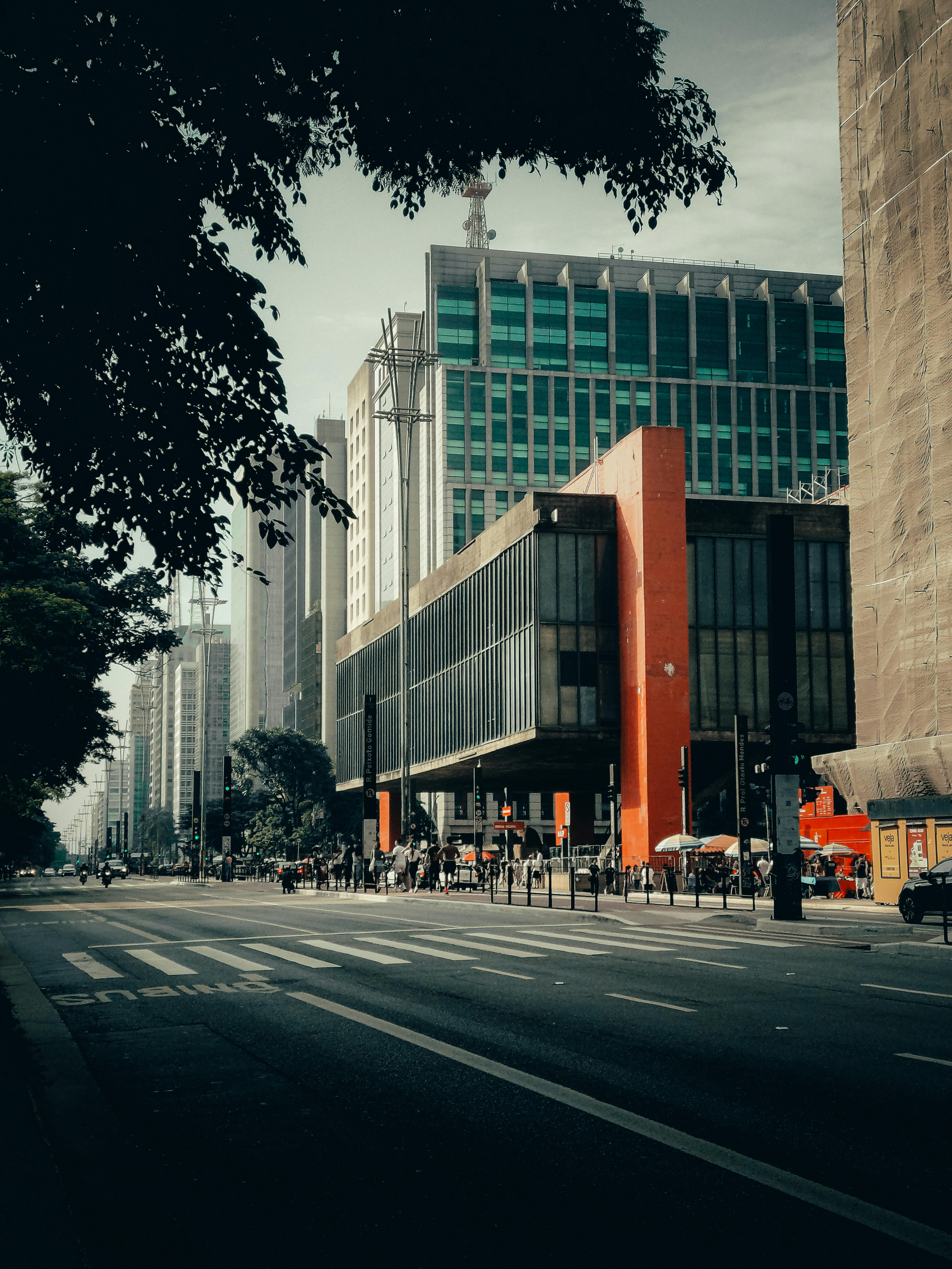
Today, Tamanduateí is not only a geographical reference but also a vital transportation axis. The Tamanduateí station—serving Metro Line 2-Green and CPTM Line 10-Turquoise—connects residents and visitors to key parts of the city (en.wikipedia.org). The station’s modern facilities underscore the corridor’s ongoing adaptation to metropolitan life.
Visiting Hours, Tickets, and Accessibility
Tamanduateí River: As a public waterway, the river itself is always accessible, though direct contact is limited due to canalization.
Nearby Landmarks:
- Páteo do Colégio: Tuesday–Sunday, 9:00 AM–5:00 PM, free admission (saopaulostopover.com.br).
- Museu do Ipiranga: Tuesday–Sunday, 9:30 AM–5:00 PM, BRL 20 general admission, free for students and seniors (museudoipiranga.org.br).
- Independence Park: Daily, 6:00 AM–6:00 PM, free entry.
- Tamanduateí Station: 4:40 AM–midnight; Bilhete Único card required for transit (en.wikipedia.org, metrosaopaulo.info).
Most public spaces and parks are accessible and incorporate ramps, elevators, and tactile flooring.
Nearby Attractions and Tours
- Vale do Anhangabaú: Cultural heart of the city (en.wikipedia.org).
- Rua 25 de Março: Bustling market street near the river’s historic port.
- São Paulo Aquarium: Largest in Latin America (aquariodesaopaulo.com.br).
- Catavento Museum: Interactive science museum (cataventocultural.org.br).
- Mercado Municipal: Famous for its food and architecture.
- Liberdade District: Japanese culture, markets, and festivals.
Guided tours are available through local operators and often include walking, cycling, or themed explorations of the river’s history and urban renewal projects.
Photographic Spots and Special Events
- Tamanduateí Station: Modern architecture and urban landscapes.
- Museu do Ipiranga & Independence Park: Historic monuments and gardens.
- Vale do Anhangabaú: Public gatherings and vibrant events.
Events tied to heritage and revitalization are organized through the OUCBT and local cultural institutions—check city calendars for updates.
Environmental and Cultural Legacy
Canalization has distanced the population from the Tamanduateí’s natural presence, but current efforts aim to restore ecological corridors, increase green spaces, and repurpose historic buildings for cultural use (gsd.harvard.edu). The OUCBT allocates funds for environmental restoration, flood mitigation, and cultural programming, ensuring the river remains part of São Paulo’s living heritage (prefeitura.sp.gov.br).
Key Historical Milestones
- 1554: São Paulo founded at the Tamanduateí and Anhangabaú confluence (saopaulostopover.com.br).
- 19th Century: Commercial expansion; Porto Geral as main entry point (g1.globo.com).
- Late 1800s–1920s: Canalization for urban growth (g1.globo.com).
- 2024: Launch of OUCBT—sustainable development and heritage preservation (prefeitura.sp.gov.br).
Frequently Asked Questions (FAQ)
Q: Are there guided tours focused on Tamanduateí?
A: Yes, local organizations offer themed walking and cycling tours as well as visits to revitalized sites.
Q: What parks and green spaces are accessible along Tamanduateí?
A: Several new and restored parks are open from 6:00 AM–8:00 PM, free of charge.
Q: How do I use public transportation from Tamanduateí?
A: Use the Bilhete Único card for seamless transfers on metro, train, and bus lines.
Q: Are the main attractions wheelchair accessible?
A: Yes, most major sites and transport hubs have full accessibility features.
Visual Suggestions
- Tamanduateí Station entrance (alt: "Tamanduateí Station - São Paulo Metro and CPTM hub")
- Map of Tamanduateí and nearby historical attractions (alt: "Map of Tamanduateí and nearby São Paulo historical sites")
- Museu do Ipiranga façade at sunset (alt: "Museu do Ipiranga visiting hours and entrance")
- Mercado Municipal de São Paulo (alt: "Mercado Municipal de São Paulo famous for local cuisine")
Listen to the full story in the app
The whole Tamanduateí,
told well.
Audio guides for 1,100+ cities across 96 countries. History, stories, and local insight — offline ready.

Verified, and shown.
Researched and written by the Audiala editorial team from historical records, architectural archives, and local expertise.
Last reviewed
Researched from Wikidata, Wikipedia & official sources · fact-checked · How we make our guides →