Introduction
The Engineer Ari Torres Bridge (Ponte Engenheiro Ari Torres) is a crucial infrastructural landmark in São Paulo, Brazil, serving as both a vital transportation artery and a symbol of the city’s rapid urban evolution. Spanning the Pinheiros River, this bridge links major business, residential, and industrial districts, reflecting São Paulo’s commitment to connectivity, sustainability, and engineering innovation. While the bridge itself is not a traditional tourist site, it offers unique urban vistas and is frequently highlighted in city tours focused on São Paulo’s architectural and infrastructural heritage. This comprehensive guide provides historical context, visitor information—including hours, accessibility, and travel tips—as well as nearby attractions and the bridge’s broader socioeconomic and environmental significance.
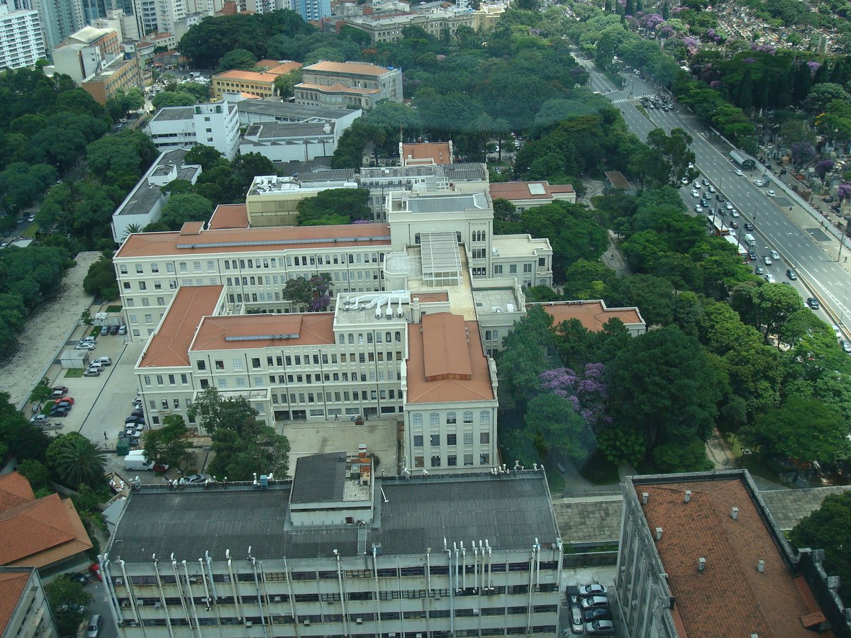
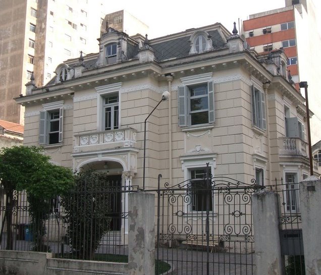
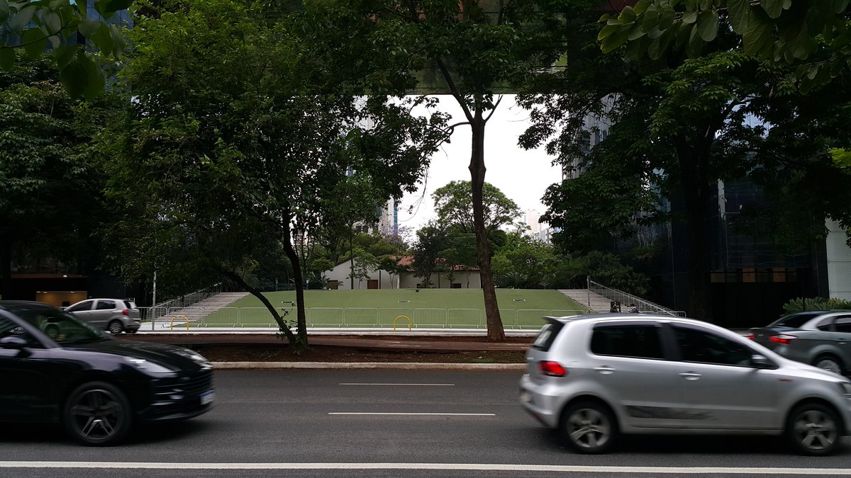
Photo Gallery
Explore Engineer Ari Torres Bridge in Pictures
Historical Background and Urban Evolution
São Paulo’s ascent from a 16th-century Jesuit mission to Brazil’s largest metropolis was shaped by successive waves of economic and infrastructural development. The late 19th and early 20th centuries saw rapid urbanization driven by the coffee boom and industrialization (Wikipedia), demanding efficient transportation networks. Early efforts centered on trams and street widening, with the city boasting 258 km of tram lines by 1933—greater than the current subway network (Politesi).
By the mid-20th century, the arrival of the automobile and influence from global planners like Robert Moses prompted a strategic pivot toward road infrastructure, resulting in the construction of expressways, bridges, and highways that redefined urban mobility (Politesi). Bridges, in particular, became essential for traversing the city’s challenging terrain and rivers, with the Engineer Ari Torres Bridge emerging as a key node in this network (City St Georges).
Construction, Engineering, and Urban Significance
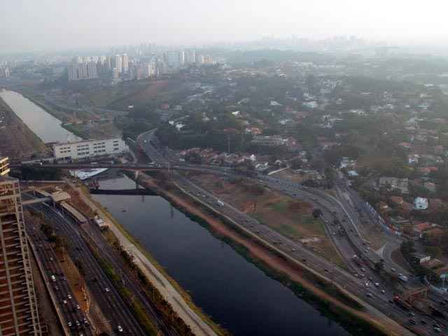
The Engineer Ari Torres Bridge was constructed to alleviate congestion over the Pinheiros River, facilitating seamless movement between São Paulo’s residential, commercial, and industrial zones (Investe SP). Its design—a prestressed concrete girder bridge—ensures structural durability and supports heavy commuter and freight traffic. Deep bored piles anchor the bridge, addressing the soft alluvial soils beneath the river.
The bridge acts as a critical link between the Marginal Pinheiros expressway and Avenida dos Bandeirantes, historically connecting São Paulo to coastal highways. Since the opening of the Rodoanel Mário Covas ring road in 2010, heavy vehicle restrictions have been imposed to prolong the bridge’s lifespan.
Visiting Hours, Access, and Practical Information
- Hours: The bridge operates 24/7 as a public roadway; there are no restricted visiting hours.
- Tickets/Fees: No tickets or entrance fees are required.
- Access: Primarily designed for vehicles, the bridge has limited pedestrian access. Wheelchair accessibility is available in the surrounding areas, but direct bridge access for pedestrians is generally not recommended due to safety concerns.
- Transportation: Easily reachable by car, taxi, or public transport. Nearby metro stations (Berrini, Morumbi) and bus routes provide convenient access. For drivers, note that São Paulo experiences heavy rush hour traffic.
- Parking: Limited near the bridge; commercial centers in the vicinity offer parking options.
- Best Time to Visit: Daylight hours (early morning or late afternoon) for optimal safety and photography.
Nearby Attractions and Photographic Spots
- Brooklin District: A bustling business and residential neighborhood with restaurants, shopping centers, and nightlife.
- Morumbi Neighborhood: Known for upscale residences and commercial activity.
- Pinheiros Riverwalk: Offers scenic paths and green spaces ideal for photography.
- Centro Empresarial Nações Unidas: Provides elevated viewpoints of the bridge and river.
- Octávio Frias de Oliveira Bridge: An iconic neighboring structure, renowned for its cable-stayed design (Refúgios no Interior).
- Ibirapuera Park: São Paulo’s most famous urban park, accessible by a short drive.
For photography, the best vantage points are from adjacent parks, riverbanks, and the Centro Empresarial Nações Unidas. Helicopter tours and riverwalks offer distinct perspectives (TripSavvy).
Urban Planning, Sustainability, and Environmental Efforts
The bridge’s construction and continued operation align with São Paulo’s Strategic Master Plan and climate initiatives aimed at sustainable urban development (PlanClima SP). Features such as stormwater management, integration of green spaces, and support for river cleanup projects underscore the city’s commitment to environmental resilience (Britannica). These efforts not only enhance the bridge’s surroundings but also contribute to reducing urban heat and improving air quality.
Socioeconomic Impact and Cultural Dimensions
The Engineer Ari Torres Bridge is indispensable for São Paulo’s daily movement of people and goods, facilitating economic activity in finance, technology, logistics, and commerce (Valor International). Its presence has catalyzed real estate growth, particularly in the Brooklin area, and supports the city’s GDP.
Culturally, the bridge is a symbol of São Paulo’s engineering achievement and civic pride. It is occasionally featured in citywide events such as the annual “Run the Bridge” race, which fosters community engagement and tourism (Run the Bridge 2024 Regulation). While not as visually dramatic as some neighboring bridges, its clean lines and pragmatic design are valued by architecture enthusiasts.
FAQs
Q: What are the visiting hours of Engineer Ari Torres Bridge?
A: The bridge is open 24 hours a day for vehicular traffic. Pedestrian access is limited and not generally advised.
Q: Is there a ticket or fee to visit?
A: No, the bridge is a public roadway with no entrance fee.
Q: Can I walk across the bridge?
A: Pedestrian access is restricted for safety reasons; use nearby parks or riverwalks for views.
Q: Are guided tours available?
A: No official tours focus solely on the bridge, but city tours sometimes include it in their itinerary.
Q: What are the best nearby attractions?
A: Brooklin, Morumbi, Pinheiros Riverwalk, Octávio Frias de Oliveira Bridge, and Ibirapuera Park.
Q: Are there special events on the bridge?
A: The “Run the Bridge” race is held annually; check local listings for event dates.
Q: Is the bridge accessible for people with disabilities?
A: Vehicle access is unrestricted. Surrounding areas offer accessible sidewalks; direct pedestrian access is limited.
Listen to the full story in the app
Your Personal Curator, in Your Pocket.
Audio guides for 1,100+ cities across 96 countries. History, stories, and local insight — offline ready.
Audiala App
Available on iOS & Android
Join 50k+ Curators
Sources
- verified
- verified
- verified
- verified
- verified
- verified
- verified
- verified
Last reviewed: