Shaw Boulevard Metro Manila: Visiting Hours, Tickets, and Attractions Guide
Date: 14/06/2025
Introduction to Shaw Boulevard and Its Significance in Metro Manila
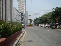
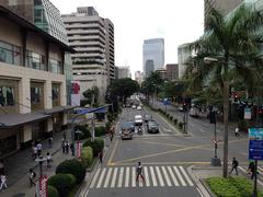
Shaw Boulevard, coursing through the energetic cities of Mandaluyong and Pasig in Metro Manila, Philippines, is more than just a road—it’s a living testament to the region’s history, commerce, and culture. Once surrounded by agricultural fields and sparse residential enclaves, Shaw Boulevard has become a thriving corridor, linking key business hubs like Ortigas Center and serving as a conduit to numerous commercial, historical, and cultural sites. This guide offers a detailed look at Shaw Boulevard’s transformation, economic importance, transit infrastructure, and vibrant community, making it an indispensable resource for both new visitors and returning travelers.
Notable landmarks along Shaw Boulevard include Shangri-La Plaza, SM Megamall, and the distinctive Maysilo Circle Monument. Visitors can explore Mandaluyong’s historical sites, enjoy guided tours, or navigate the blend of commercial and residential zones. This guide provides essential details about visiting hours, ticketing, transportation, safety, and upcoming developments, such as the highly anticipated Metro Manila Subway project.
By weaving together historical context, practical advice, and cultural highlights, this article aims to help you fully appreciate Shaw Boulevard’s dynamic role in Metro Manila’s urban evolution. For further information and planning resources, consult the HousingInteractive neighborhood guide, the MMDA transport website, and the Mandaluyong City official profile.
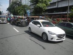
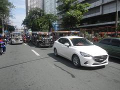
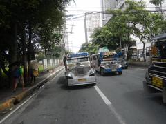
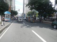
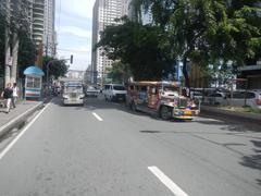
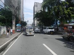
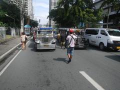
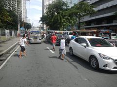
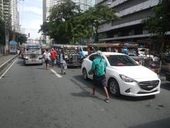
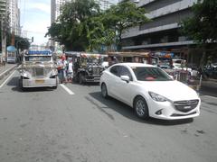
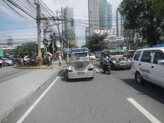
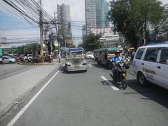
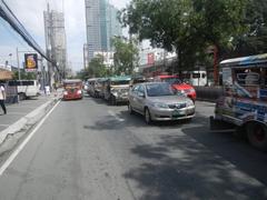
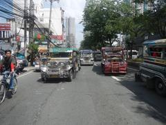
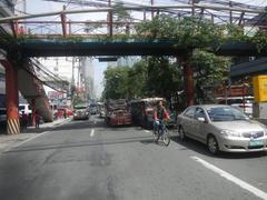
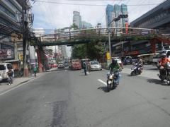
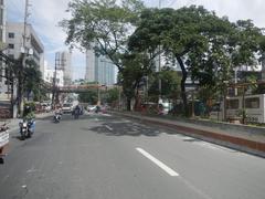
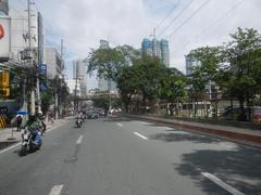
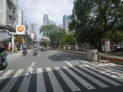
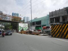
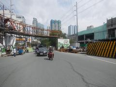
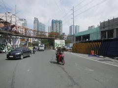
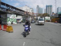
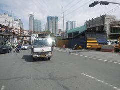
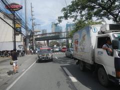
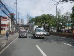
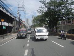
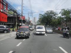
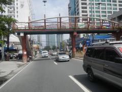
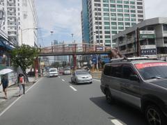
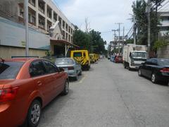
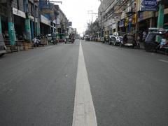
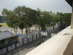
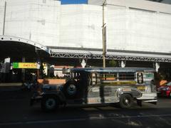
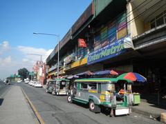
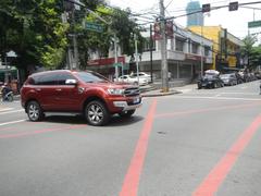
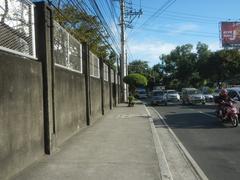
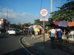
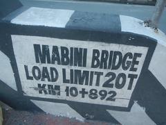
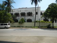
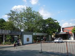
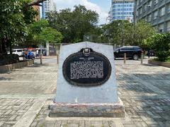
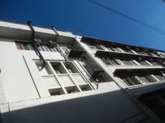
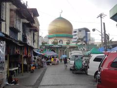
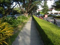
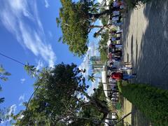
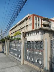
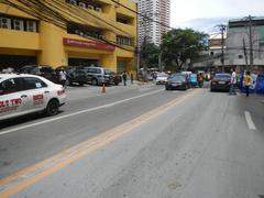
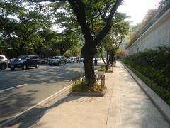
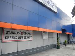
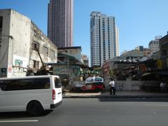
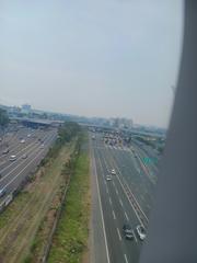
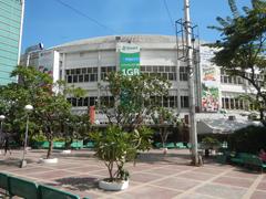
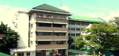
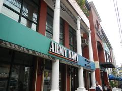
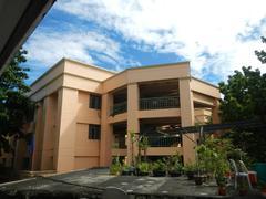
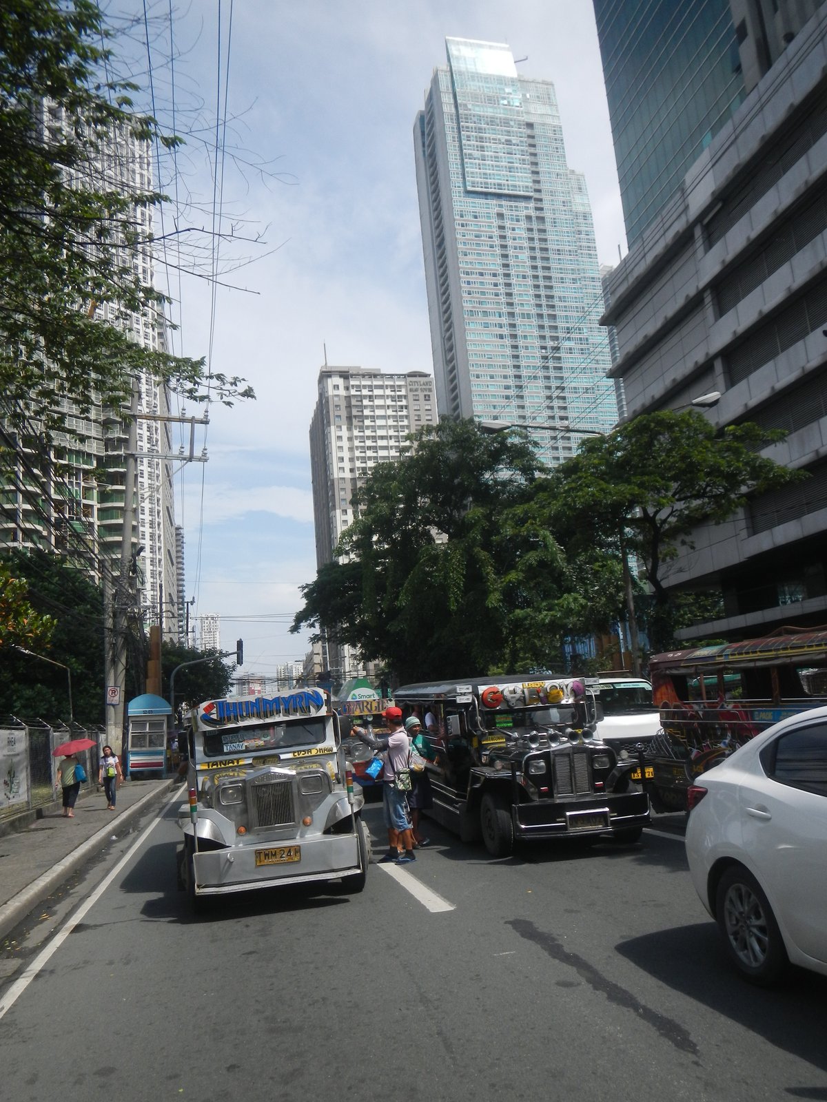
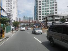 Shaw Boulevard Radial Road 5 Circumferential Road 5 located beside Boundary neighbor List of barangays of Metro Manila, Barangay San Antonio beside Kapitolyo, and Oranbo, Pasig City; (Note: Judge Florentino Floro, the owner, to repeat, Donor Florentino Floro of all these photos hereby donate gratuitously, freely and unconditionally all these photos to and for Wikimedia Commons, exclusively, for public use of the public domain, and again without any condition whatsoever).">
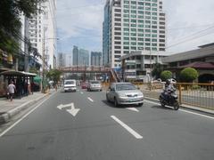
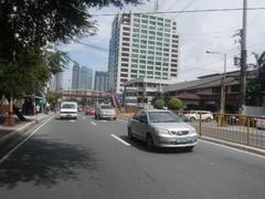
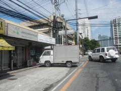
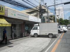
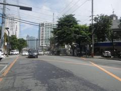
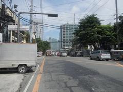
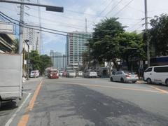
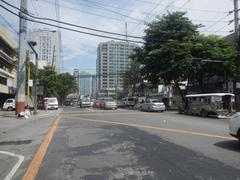
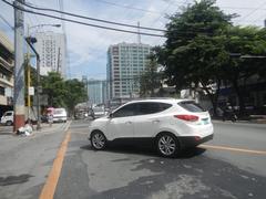
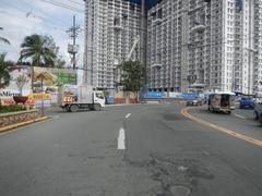
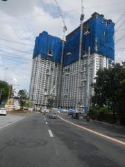
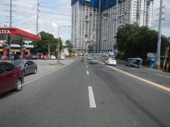
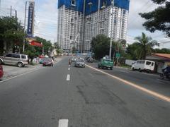
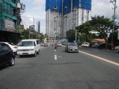
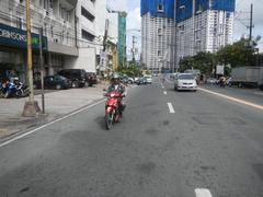
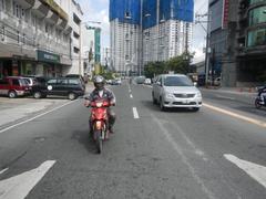
Table of Contents
- Introduction
- Early Development and Urbanization
- Commercialization and Economic Significance
- Urban Planning, Infrastructure, and Visitor Access
- Residential and Community Development
- Cultural and Social Impact
- Nearby Attractions and Guided Tours
- Practical Visitor Information
- FAQ Section
- Exploring Shaw Boulevard: Route, Attractions, and Travel Tips
- Transportation Options and Visiting Guide
- Exploring the Maysilo Circle Monument
- Summary and Recommendations
- References
Early Development and Urbanization
Shaw Boulevard’s origins are closely linked to Metro Manila’s post-war expansion. Initially framed by agricultural lands and low-density housing, the boulevard began its transformation in the mid-20th century as Manila’s urban core pushed outward to accommodate a rising population (Malaque & Yokohari, 2007). Developed as a major east-west arterial road, Shaw Boulevard connected Mandaluyong and Pasig, integrating older Manila districts with the emerging Ortigas Center and facilitating the flow of people and commerce (HousingInteractive). Its design reflects Metro Manila’s broader urban planning strategy, which emphasized radial and circumferential roads to manage the city’s growth (Poco, 2008).
Commercialization and Economic Significance
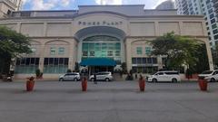
By the 1990s, Shaw Boulevard had evolved into a bustling commercial artery. The elevation of Mandaluyong to highly urbanized city status in 1994 accelerated commercial development, with medium- and high-rise structures springing up along the boulevard (Mandaluyong City Profile). Today, Shaw Boulevard is home to a vibrant mix of shopping malls (Shangri-La Plaza, Shaw Center Mall, Mandala Park), offices, restaurants, and service businesses (HousingInteractive). Its proximity to Ortigas Center—one of Metro Manila’s premier business districts—has attracted major corporations and a steady influx of professionals, further boosting the area’s economic vitality.
Urban Planning, Infrastructure, and Visitor Access
Shaw Boulevard is a linchpin in Metro Manila’s transport network. Starting as a four-lane road at Sevilla Bridge, it crosses the San Juan River and expands to a six-lane carriageway east of EDSA, before narrowing near C-5 (HousingInteractive). The boulevard intersects with major thoroughfares such as EDSA and C-5, improving access to key parts of the metropolis.
The Shaw Boulevard MRT-3 station, located at the intersection with EDSA, operates daily from 4:30 AM to 11:00 PM, with fares typically between PHP 15 and PHP 30 (UNESCAP). Buses, jeepneys, and taxis are widely available, while a flyover above the MRT station helps manage heavy traffic. Improved pedestrian infrastructure and bike lanes are part of ongoing urban renewal efforts.
Residential and Community Development
Shaw Boulevard’s shift from industrial and low-density residential zones to a mixed-use urban corridor has reshaped its demographic profile. Redevelopment plans from the late 1990s aimed to transform the area into a central business district, spurred by the expansion of Ortigas Center and Fort Bonifacio CBD (Mandaluyong City Physical and Spatial Characteristics). Modern high-rise condos and office buildings now dot the skyline, while established neighborhoods like Wack Wack and Highway Hills remain popular with families. Proximity to schools such as Lourdes School of Mandaluyong, University of Asia and the Pacific, and Jose Rizal University makes the area attractive to students and professionals alike (HousingInteractive).
Cultural and Social Impact
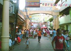
Shaw Boulevard is a melting pot of Metro Manila’s diverse communities, drawing residents, professionals, expatriates, and students. Night markets, food stalls, community events, and festivals contribute to a lively urban atmosphere (HousingInteractive). Notable photographic and leisure spots include the vibrant commercial centers near Shangri-La Plaza and the open spaces of Mandala Park.
Nearby Attractions and Guided Tours
Attractions:
- Ortigas Center: A major business and entertainment district.
- Shangri-La Plaza and SM Megamall: Premier shopping and dining destinations.
- Mandaluyong City Hall: A window into local governance and history.
- University of Asia and the Pacific: Known for its architecture and campus tours.
Local tour operators and community organizations offer guided walking tours of Mandaluyong’s historical sites, providing in-depth narratives about the area’s evolution.
Practical Visitor Information
- Visiting Hours: Shaw Boulevard is accessible 24/7 as a public thoroughfare. Malls and most establishments operate 10:00 AM–9:00 PM.
- Tickets: Access to the boulevard and most public areas is free. Specific venues may require tickets or reservations.
- How to Get There: MRT-3 Shaw Boulevard Station; accessible by buses, jeepneys, taxis, and private vehicles.
- Travel Tips: Avoid peak traffic hours (7–9 AM, 5–8 PM); use public transit; wear comfortable attire.
Frequently Asked Questions (FAQ)
Q: What are Shaw Boulevard’s visiting hours?
A: The boulevard is accessible at all times; commercial establishments generally open 10:00 AM–9:00 PM.
Q: Are tickets required to visit Shaw Boulevard?
A: No, unless entering specific attractions or events.
Q: What’s the best way to reach Shaw Boulevard?
A: The MRT-3 Shaw Boulevard Station is the most convenient; other options include buses, jeepneys, and taxis.
Q: Are there guided tours?
A: Yes, local operators offer walking tours of Mandaluyong’s history and architecture.
Exploring Shaw Boulevard: Route, Attractions, and Travel Tips
Route and Urban Landscape
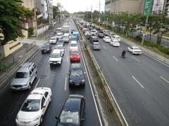
Shaw Boulevard spans about 5.3 kilometers, beginning at Sevilla Bridge (linking with P. Sanchez Street in Manila) and ending at C-5 Road, where it becomes Pasig Boulevard. The boulevard features four to eight lanes, with expanded sections east of EDSA to manage traffic.
Key Intersections:
- Sevilla Bridge: Western terminus.
- General Kalentong Street: Access to Kalentong commercial area.
- EDSA: Features the Shaw Boulevard MRT station and flyover.
- Ortigas Center: Major business and entertainment zone.
- C-5 Road: Eastern terminus, connecting to further Metro Manila areas.
For detailed maps and transport updates, visit the MMDA website.
Public Transportation
- MRT-3: Shaw Boulevard station is a vital hub (Moovit).
- Jeepneys and Buses: Abundant routes to various parts of Metro Manila.
- Bike Lanes: Class II bike lanes and boxes along key intersections.
Travel Tips:
Plan ahead to avoid rush hour, use transit apps like Sakay.ph, and consider public transport due to limited parking.
Shopping and Entertainment
- SM Megamall: One of the world’s largest malls (SM Megamall).
- Shangri-La Plaza: Upscale shopping and dining (Shangri-La Plaza).
- Starmall EDSA-Shaw: Budget-friendly shopping.
- St. Francis Square: Electronics and bargain shopping.
Business and Mixed-Use Districts
- Ortigas Center: Major commercial and nightlife area.
- Greenfield District: Open spaces, weekend markets, and dining.
Cultural and Historical Sites
- Wack Wack Golf and Country Club: Historic club named after William James Shaw.
- EDSA Shrine: Landmark commemorating the 1986 People Power Revolution (EDSA Shrine).
Dining and Nightlife
Kapitolyo, just off Shaw Boulevard, is renowned for its diverse culinary scene, while the boulevard itself features everything from street food to fine dining.
Parks and Open Spaces
Greenfield District and Shangri-La Plaza offer landscaped gardens and host community events.
Accommodation
Recommended hotels include Edsa Shangri-La Manila, The Linden Suites, and Berjaya Makati Hotel.
Transportation Options and Visiting Guide
Public Transit
- MRT-3 Shaw Boulevard Station: Primary access point.
- LRT-2 (Gilmore Station): About an 11-minute walk.
- Buses, Jeepneys, UV Express, P2P Buses: Extensive coverage (Sakay.ph).
- Taxis and Ride-Hailing: Widely available; Grab is popular.
Future Developments
The Metro Manila Subway, with a planned Shaw Boulevard station, will further boost connectivity (Philkotse).
Navigating Shaw Boulevard
- Pedestrians: Use sidewalks and overpasses.
- Cyclists: Exercise caution; bike lanes are present but traffic is heavy.
- Accessibility: Major establishments and transit stations are wheelchair-friendly.
Attractions and Points of Interest
- Shangri-La Plaza Mall
- Starmall EDSA-Shaw
- Mandaluyong City Hall
- San Felipe Neri Church
- Metrowalk Commercial Complex
Special Events and Photo Spots
Look out for holiday displays, weekend markets, and vibrant street scenes—especially near MRT stations and major malls.
Safety Tips
- Stay alert in crowded public spaces (The Broke Backpacker).
- Use official taxis or ride-hailing apps.
- Avoid walking alone at night in quiet areas (Travel Safe Abroad).
- Keep valuables secure and stay hydrated.
Useful Apps and Resources
- Moovit: Real-time public transit directions (Moovit).
- Sakay.ph: Route planning and fare estimates (Sakay.ph).
The Maysilo Circle Monument: Introduction, History, and Visitor Guide
Introduction
Located at the heart of Mandaluyong along Shaw Boulevard, the Maysilo Circle Monument is a significant landmark that commemorates the city’s cultural heritage and transformation.
History and Cultural Significance
The monument honors the Maysilo area’s evolution from an agricultural hub into a dynamic urban center. Its design reflects Mandaluyong’s resilience and growth, blending Filipino artistry with modern elements.
Visiting Hours and Tickets
- Open to the public year-round, typically 6:00 AM–6:00 PM.
- No entrance fee or ticket required.
Getting There
- By MRT: Alight at Shaw Boulevard Station.
- By Car: Parking available at nearby malls like Shangri-La Plaza and SM Megamall.
- Pedestrian Access: Well-maintained sidewalks.
Nearby Attractions
- Dining: Choices range from upscale restaurants at Shangri-La Plaza to local favorites like R&J Bulalohan.
- Shopping: Shangri-La Plaza, SM Megamall, The Podium, and Mandaluyong Public Market.
- Markets: Greenfield Weekend Market for local art and food.
Special Events and Tours
Occasionally, the city organizes cultural events and guided tours around Maysilo Circle. Check local tourism websites for schedules.
Photo Opportunities
Best captured during early morning or late afternoon for optimal lighting.
FAQs
- Visiting hours: 6:00 AM–6:00 PM.
- Admission fee: None.
- Guided tours: Available during special events; check with Mandaluyong tourism office.
- How to reach: MRT Shaw Boulevard Station is closest.
- Other nearby sites: Ortigas Park, San Felipe Neri Church.
Visitor Tips
- Dress respectfully, especially at cultural events.
- Tipping is appreciated in restaurants.
- Keep valuables secure.
- Engage respectfully with local vendors and artisans.
Summary and Recommendations
Shaw Boulevard is a vital artery of Metro Manila, reflecting Mandaluyong’s evolution from rural beginnings to a vibrant urban corridor. Its central location, robust transport links, and proximity to business centers like Ortigas make it an essential destination for visitors seeking shopping, culture, or history.
Whether exploring the upscale malls, historical sites like the Maysilo Circle Monument, or savoring the diverse food scene, Shaw Boulevard presents a rich tapestry of Metro Manila’s urban life. Plan your visit with an eye on traffic patterns, take advantage of extensive public transit, and stay updated on the latest events.
For further resources, download the Audiala app, check official city tourism sites, and follow local social media for timely updates.
References
- Shaw Boulevard: A Comprehensive Visitor’s Guide to Mandaluyong’s Historic Urban Corridor, 2025, Malaque & Yokohari (HousingInteractive)
- Exploring Shaw Boulevard: Route, Attractions, and Travel Tips in Mandaluyong and Pasig, 2025, MMDA (MMDA)
- Transportation Options and Visiting Guide for Shaw Boulevard, Mandaluyong, 2025, Moovit and Sakay.ph (Moovit)
- Exploring the Maysilo Circle Monument: History, Visiting Hours, and Nearby Attractions in Mandaluyong, 2025, Mandaluyong City Tourism (Mandaluyong City Tourism)
- UNESCAP Bulletin on MRT-3 Operations, 2025 (UNESCAP)
- Philkotse News on Metro Manila Subway Project, 2025 (Philkotse)
- EDSA Shrine Official Site, 2025 (EDSA Shrine)

