Sutro Tower Visiting Hours, Tickets, and San Francisco Historical Sites Guide
Date: 14/06/2025
Introduction
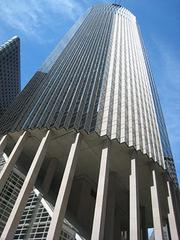
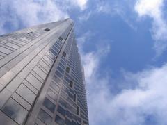
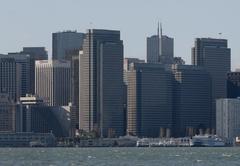
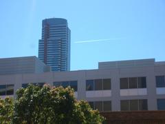
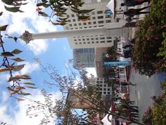
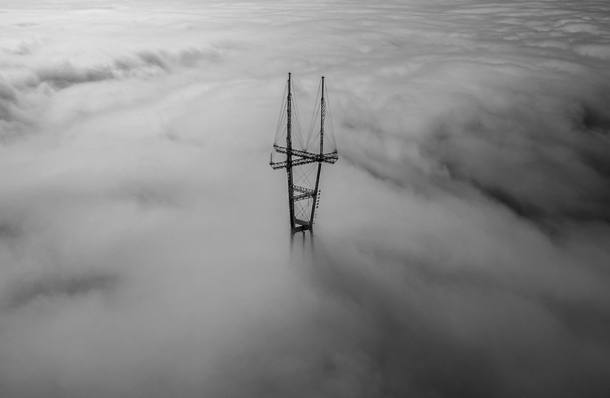
Sutro Tower, with its bold red-and-white silhouette, is one of San Francisco’s most recognizable landmarks. Standing 977 feet tall atop Mount Sutro, the tower dominates the city skyline and serves as a vital broadcast facility for television, radio, and wireless communications across the Bay Area. Since its completion in 1973, Sutro Tower has evolved from a controversial infrastructure project into a beloved cultural icon and a symbol of San Francisco’s resilience, innovation, and unique geography.
Although Sutro Tower is not open to the public and offers no tours or tickets, it remains a must-see for those interested in engineering marvels, city views, and San Francisco’s history. This guide delivers a comprehensive overview, including Sutro Tower’s historical background, architectural features, technical specifications, best viewing locations, travel tips, accessibility information, nearby attractions, and practical advice to help you experience this iconic site—even if only from afar.
For official details and further exploration, visit the Sutro Tower website, DOCOMOMO US registry, and Mission Local’s 3D virtual tour.

Contents
- Historical Background
- Architecture and Technical Specifications
- Visitor Information: Access, Hours, and Viewing Tips
- Best Viewing Locations and Photography Advice
- Transportation and Accessibility
- Nearby Attractions
- Cultural Significance and Public Perception
- Frequently Asked Questions (FAQ)
- Conclusion and Additional Resources
Historical Background
Origins and Early Development
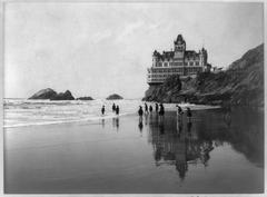
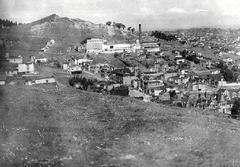
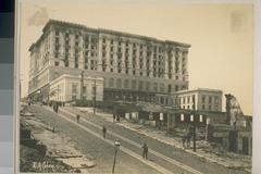
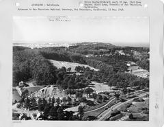
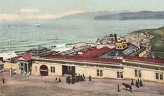
The history of Sutro Tower is deeply linked to San Francisco’s challenging topography and the city’s need for a unified, high-elevation broadcast solution. In the mid-20th century, scattered transmitters across city hills led to inconsistent radio and TV signals. The land beneath the tower was once part of the estate of Adolph Sutro, a former mayor and entrepreneur, whose family later built the La Avanzada mansion on the site (NPS PDF). In 1948, ABC purchased the property, erecting a 500-foot broadcast tower for KGO-TV and establishing the location’s broadcasting legacy (sfstandard.com).
Push for a Unified Broadcast Tower
By the 1960s, the need for a centralized broadcast tower became urgent. After years of debate and planning—including a “media war” over location and extensive hearings—four major Bay Area TV stations incorporated Sutro Tower, Inc. and won approval to build on Mount Sutro (sutrotower.com; jimprice.com).
Construction and Public Reception
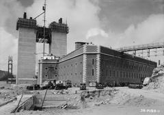
Designed by Albert C. Martin & Associates and engineered for seismic and wind resilience, Sutro Tower’s construction began in 1971 and finished in 1973 at a cost of $4 million. While initially criticized as an eyesore, the tower quickly became a city icon, celebrated in art, postcards, and social media—especially when shrouded in San Francisco’s characteristic fog (docomomo-us.org).
Evolution and Modernization
Sutro Tower has undergone several structural upgrades and seismic retrofits. In 2009, it transitioned to all-digital broadcasting, and in recent years, modifications have included new antennas, the removal of siding panels for reduced wind load, and digital innovations such as 3D models for public exploration (sutrotower.com; vincentwoo.com).
Architecture and Technical Specifications
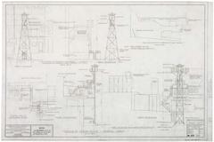
Structural Design
- Height: 977 feet (297.8 meters)
- Base elevation: 834 feet (254 meters) above sea level
- Summit elevation: 1,811 feet (552 meters) above sea level
- Structure: Three-legged steel lattice, with a widened base and top for seismic stability
- Weight: 3.5 million pounds of steel anchored by 15 million pounds of cement
The design allows the tower to flex in high winds and earthquakes, with open latticework that reduces wind resistance (docomomo-us.org; missionlocal.org).
Broadcasting Capabilities
Sutro Tower serves as the primary transmission site for:
- 11 television stations
- 4 FM radio stations
- 20+ wireless communications services (flashtechnology.com)
It also supports antennas for public safety, cable, satellite, and a variety of telecommunications clients. Sutro Tower, Inc. leases antenna space to broadcasters, including community-based stations at below-market rates (jimprice.com).
Lighting and Safety
The tower is fitted with a high-intensity xenon lighting system for aviation safety and is regularly maintained to comply with FAA and FCC requirements. Upgrades include new TV antennas and open truss legs for wind reduction (sutrotower.com).
Access & Digital Innovation
Sutro Tower is not open to the public. An internal elevator transports technicians, and service buildings at the base house transmission equipment. The “Sutro Cam,” operated by KGO-TV, streams live panoramic city views (jimprice.com). Advanced photogrammetry and 3D models allow for virtual exploration (vincentwoo.com).
Visitor Information: Access, Hours, and Viewing Tips
Location and Getting There
- Address: 501 Twin Peaks Blvd, San Francisco, CA 94114 (sometimes listed as 1 La Avanzada St, San Francisco, CA 94131) (The Tourist Checklist)
- Public Transit: Muni bus lines serve neighborhoods near Twin Peaks and Mount Sutro. Rideshare services provide direct access to nearby viewpoints.
- Parking: Limited street parking and a parking lot at Twin Peaks; observe local regulations.
Visiting Hours & Tickets
- No public tours or tickets: Sutro Tower is a secure broadcast facility with no public access.
- Viewing: Enjoy views from public parks and nearby hills—no entry required.
Accessibility
- Twin Peaks: Wheelchair-accessible with paved paths and parking.
- Mount Sutro Reserve: Hiking trails are unpaved and moderately challenging.
- Facilities: No restrooms or visitor centers at the tower; amenities available at Twin Peaks and surrounding neighborhoods.
Best Viewing Locations and Photography Advice
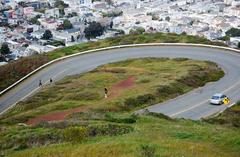
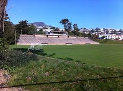
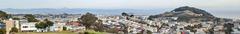
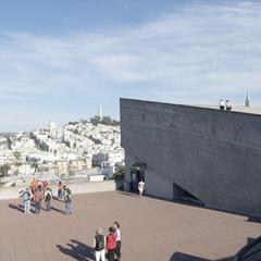
- Twin Peaks: Offers 360-degree city views with Sutro Tower as a dramatic focal point. Ideal during sunrise or sunset (The Tourist Checklist).
- Mount Sutro Open Space Reserve: Lush trails with scenic clearings for unique perspectives.
- Grandview Park & Neighborhood Vistas: Capture the tower framed by cityscape or greenery from Noe Valley, the Castro, and Cole Valley.
Photography Tips:
- Visit during golden hour for the best light.
- Use wide-angle lenses for expansive shots.
- Embrace foggy conditions for atmospheric photos.
- Stay on marked trails and respect natural areas.
Seasonal Considerations and Weather
San Francisco’s microclimates mean weather can shift quickly, especially on hilltops.
- Best seasons: Spring and fall offer clear skies and mild temperatures.
- Summer: Cooler, foggier, and windier—great for moody photos, but views may be limited.
- What to wear: Dress in layers and bring a windbreaker (SF Tourism Tips).
Nearby Attractions and Activities
- Twin Peaks: Accessible by car or on foot, with paved paths and viewing platforms.
- Mount Sutro Open Space Reserve: Offers hiking and biking trails in a tranquil setting.
- Lands End Trail: Farther away, but offers coastal views and distant perspectives of the tower and Golden Gate Bridge.
- Castro District & Haight-Ashbury: Vibrant neighborhoods rich in history and culture.
Cultural Significance and Public Perception
Sutro Tower is not only a feat of engineering but also a symbol of San Francisco’s spirit. Its three-legged design has inspired local artists, designers, and filmmakers, appearing in murals, jewelry, and cityscape photography (SFCitizen.com). While initially controversial, it is now embraced as a “guardian” of the skyline and a beloved part of the city’s identity (LetsRoam.com).
Frequently Asked Questions (FAQ)
Q: Can I enter Sutro Tower?
A: No, the tower is not open to the public.
Q: What are the visiting hours?
A: There are no visiting hours, as public access is not permitted.
Q: Where can I get the best views?
A: Twin Peaks, Mount Sutro Open Space Reserve, and Grandview Park.
Q: Is Sutro Tower wheelchair accessible?
A: The tower itself is not open, but Twin Peaks offers accessible paths and parking.
Q: Are there guided tours?
A: No, but virtual tours and 3D models are available online (Mission Local 3D).
Q: Are there entrance fees?
A: No, viewing points are free to the public.
Practical Tips for Visitors
- Plan for changing weather and dress in layers.
- Sunrise and sunset offer the best lighting and fewer crowds.
- Pair your visit with nearby attractions like the Castro or Golden Gate Park.
- Bring water and snacks; facilities are limited.
- Respect the environment and stay on marked trails.
Conclusion and Call to Action
Sutro Tower remains a vital part of San Francisco’s infrastructure and a beloved feature of the city’s skyline. While direct access is restricted, its dramatic presence can be enjoyed from many vantage points around the city. For the latest travel tips, weather, and San Francisco guides, download the Audiala app and follow us on social media. Explore our other posts to discover more of San Francisco’s historical sites and make the most out of your visit.
For authoritative information, consult the Sutro Tower Official Website, DOCOMOMO US Registry, and experience the Mission Local 3D Virtual Tour.
Additional Resources
- Sutro Tower Official Website
- DOCOMOMO US Registry
- San Francisco Standard
- Mission Local 3D Virtual Tour
- Jim Price’s Sutro Tower Archive
- Flash Technology Broadcast Tower Overview
- Vincent Woo 3D Modeling
- The Tourist Checklist
- Travel with the Greens
- SFCitizen
- LetsRoam