49-Mile Scenic Drive San Francisco: Visiting Hours, Tickets, and Travel Guide
Date: 14/06/2025
Introduction
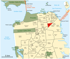
The 49-Mile Scenic Drive is San Francisco’s legendary loop, designed to highlight the city’s rich history, vibrant neighborhoods, and stunning natural and architectural landmarks. Established in 1938 to promote San Francisco’s attractions for the 1939 Golden Gate International Exposition, this iconic route now invites visitors to experience the city’s spirit—whether by car, bike, on foot, or via public transit. Explore more than 50 points of interest, from the Golden Gate Bridge and Fisherman’s Wharf to the Castro and Haight-Ashbury, all while discovering the cultural and historical tapestry that defines San Francisco. For interactive maps, accessibility details, and up-to-date travel tips, consult resources like San Francisco Travel, Walk SF 49, and the San Francisco Chronicle’s interactive map.
Table of Contents
- Origins and Historical Development
- Route Overview and Navigation
- Visiting Hours and Ticket Information
- Highlights and Top Sites
- Travel Tips and Accessibility
- Sustainability and Modern Adaptations
- Frequently Asked Questions (FAQ)
- Visual & Interactive Resources
- Conclusion and Travel Tips
- References
Origins and Historical Development
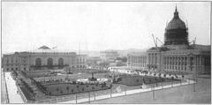
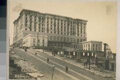
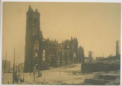
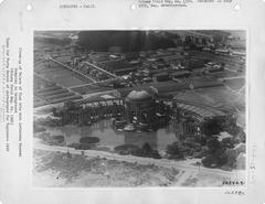
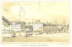
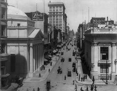
The 49-Mile Scenic Drive was created in 1938 as a strategic initiative by the San Francisco Down Town Association to promote the city’s attractions in anticipation of the 1939–1940 Golden Gate International Exposition (Wikipedia; Fisherman’s Wharf). The route, symbolically matching the city’s 49 square miles, ran through iconic neighborhoods and parks, culminating at Treasure Island. Over the years, the route has evolved, adapting to changes in urban development and the city’s growing focus on sustainability (SFToDo; TripSavvy).
In 2019, the route was reimagined by journalists Heather Knight and Peter Hartlaub as the “49-Mile Scenic Route”—a walkable, bikeable, and transit-friendly loop that embraces modern San Francisco’s values of inclusivity and environmental stewardship (Walk SF 49; SF Chronicle).
Route Overview and Navigation
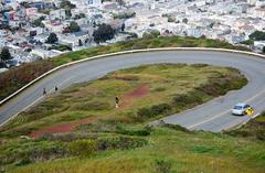
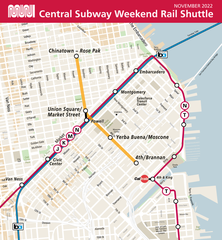
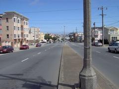
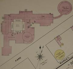
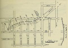
The traditional 49-Mile Scenic Drive forms a loop of about 49 miles, starting and ending at City Hall, but you can join the route at any convenient point. The route is marked by distinctive white seagull signs with blue backgrounds and orange lettering, reflecting San Francisco’s maritime heritage (Walk SF 49). Some signage may be missing or unclear, so visitors are encouraged to use downloadable maps or GPS navigation. For walking or driving, use a detailed map or the SF Chronicle’s interactive guide.
Recommended Direction: Anticlockwise for optimal views of the bay, city skyline, and major landmarks.
Visiting Hours and Ticket Information
- The Scenic Drive itself: Open 24/7 and free to access. No tickets or permits are required for the route.
- Individual attractions: Have their own hours and may charge admission. Always check specific sites for up-to-date information.
Sample Attraction Hours & Admission:
- San Francisco City Hall: Mon–Fri, 8 a.m.–5 p.m., free.
- Coit Tower: Daily, 10 a.m.–6 p.m., admission fee.
- Asian Art Museum: Tue–Sun, 10 a.m.–5 p.m., ticket required.
- California Academy of Sciences: Daily, 9:30 a.m.–5 p.m., ticket required.
- Exploratorium: Tue–Sun, 10 a.m.–5 p.m., ticket required.
For current hours and prices, consult each attraction’s official website.
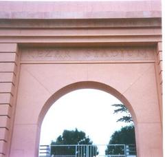
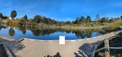
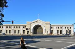
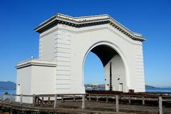
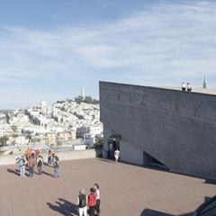
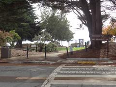
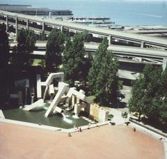
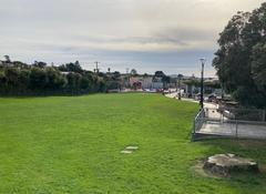
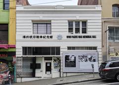
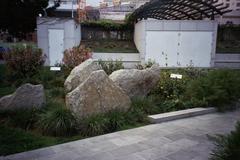
Highlights and Top Sites Along the Route
The 49-Mile Scenic Drive features more than 50 points of interest, providing a cross-section of San Francisco’s character. Major highlights include:
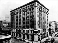
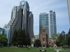
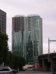
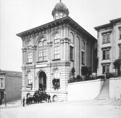
- Civic Center & City Hall: The political and cultural heart of the city.
- Union Square: Shopping and entertainment hub.
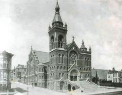
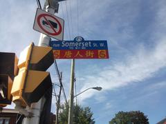
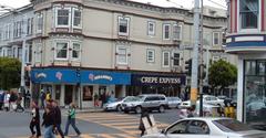
- Chinatown: The oldest and most vibrant in North America.
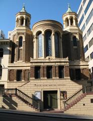
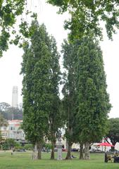
- North Beach & Coit Tower: “Little Italy” and panoramic city views.
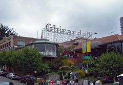
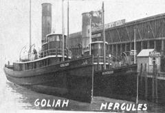
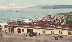
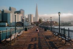
- Fisherman’s Wharf & Pier 39: Seafood, sea lions, and bay vistas.
- Marina District & Palace of Fine Arts: Classical architecture and scenic parks.
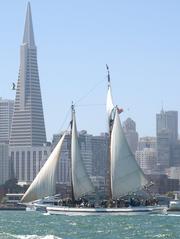
- Presidio & Golden Gate Bridge: Historic military base and the city’s most famous landmark.
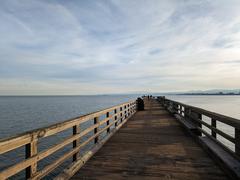
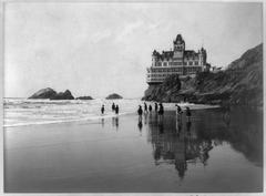
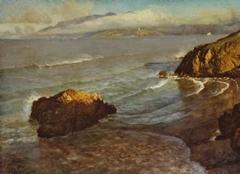
- Lands End & Ocean Beach: Rugged Pacific coastline.
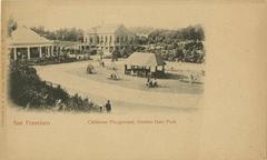
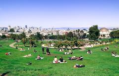
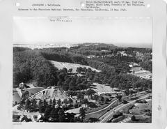
- Golden Gate Park: Museums, gardens, and outdoor recreation.
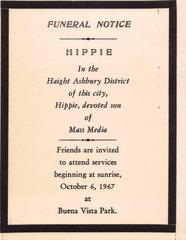
- Haight-Ashbury: Center of the 1960s counterculture.
- Twin Peaks: 360-degree city views.
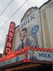
- Castro & Mission District: LGBTQ+ history and vibrant street art.
- Japantown & Fillmore: Cultural enclaves with rich heritage.
For in-depth descriptions, visit Ronnie’s Awesome List.
Travel Tips and Accessibility
- Duration: Allow 2–4 hours by car without long stops; a full day or more for walking, biking, or exploring museums.
- Parking: Limited at popular sites. Use public garages or combine with public transit.
- Guided Tours: Available by bus, bike, and on foot, often including historical insights.
- Weather: Dress in layers due to microclimates and fog.
- Accessibility: Many attractions and transit lines are ADA-compliant. Some hills may challenge those with mobility concerns.
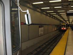
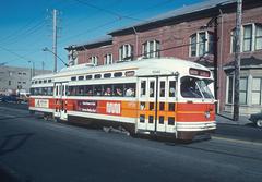
- Public Transit: Muni buses, light rail, and BART serve many route segments. Use a Clipper Card for seamless transit access (SFMTA).
Sustainability and Modern Adaptations
Reflecting San Francisco’s evolving values, the 49-Mile Scenic Drive has adapted to promote sustainable tourism. The “49-Mile Scenic Route” encourages walking, biking, and public transit as alternatives to driving (Wikipedia). Street closures—like JFK Drive in Golden Gate Park and sections of the Great Highway—support a more pedestrian- and cyclist-friendly experience.
Frequently Asked Questions (FAQ)
Q: Do I need tickets for the 49-Mile Scenic Drive?
A: No. The route is public and free; only some attractions require separate admission.
Q: What are the best times to visit?
A: Spring and fall offer mild weather and fewer crowds. Early mornings and weekdays are best for driving.
Q: Is the route accessible for cyclists and pedestrians?
A: Yes, with dedicated bike lanes and walkable segments. Some steep hills require caution.
Q: Can I use public transit for parts of the route?
A: Absolutely. Muni and BART connect many key points.
Q: Where can I find maps and guides?
A: See San Francisco Travel, Walk SF 49, and the SF Chronicle’s interactive map.
Visual & Interactive Resources
Conclusion and Travel Tips
The 49-Mile Scenic Drive offers a unique window into San Francisco’s rich history, culture, and beauty. Whether you’re driving, cycling, walking, or combining transit, the route can be tailored to your interests and schedule. For the best experience, plan ahead, check attraction hours, and leverage interactive maps and official resources. Sustainable travel options and modern adaptations make the drive accessible and enjoyable for all visitors.
Ready to discover San Francisco’s iconic route? Download the Audiala app for guided audio tours and curated itineraries, and explore our related articles for more inspiration. Share your journey and favorite photos on social media—San Francisco’s 49-Mile Scenic Drive awaits!
References and Further Reading
- Wikipedia: 49-Mile Scenic Drive
- Fisherman’s Wharf Official Site: 49-Mile Scenic Drive History
- SFToDo: San Francisco 49-Mile Scenic Drive Overview
- Walk SF 49: Creation and History of the 49-Mile Drive
- Ronnie’s Awesome List: Highlights of the 49-Mile Scenic Drive
- San Francisco Travel
- San Francisco Chronicle: 49-Mile Scenic Route Interactive Map and Guide
- San Francisco Recreation and Parks: Parks Hours and Details
- San Francisco Municipal Transportation Agency (SFMTA): Transit and Accessibility