Early Vision and Development
The concept of a highway linking North and Southern Africa dates to the early 20th century, but it was in the 1970s that the Trans-African Highway network was formally initiated. The Tripoli–Cape Town Highway was a flagship corridor, intended to connect Libya, Chad, Cameroon, Central African Republic, Republic of the Congo, Democratic Republic of the Congo, Angola, Namibia, and South Africa (African Union). These efforts were shaped by international collaboration and supported by major African and global institutions, focusing on regional integration and economic upliftment.
Construction Milestones and Current Status
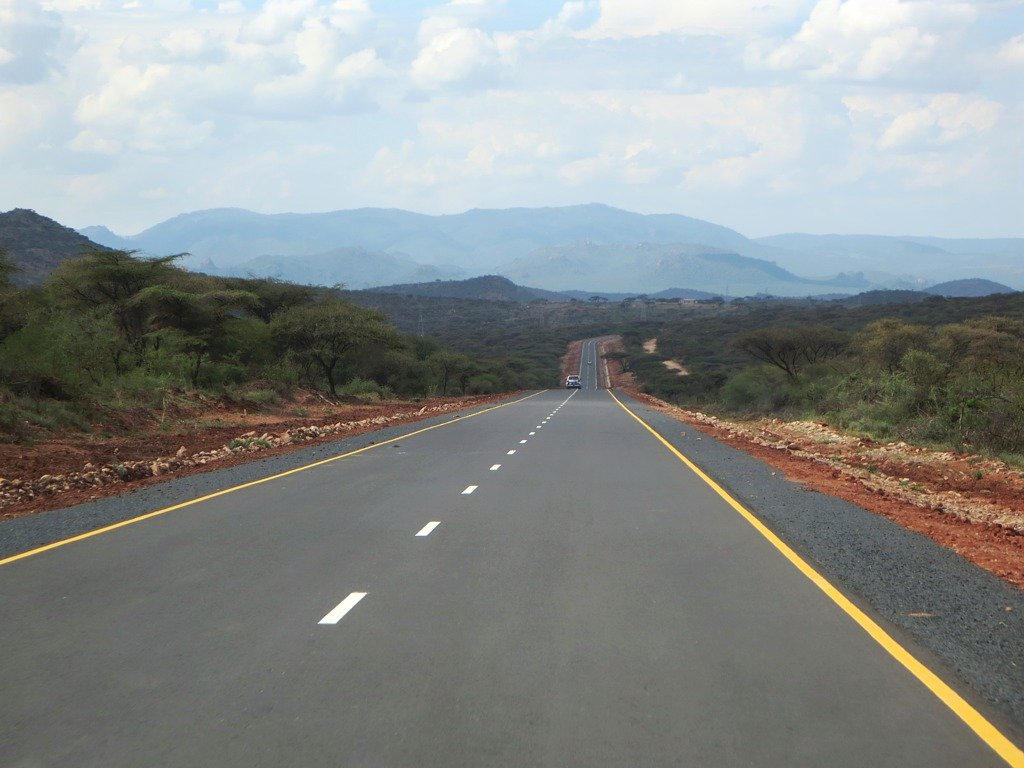
- Northern and Central Sections Libya’s infrastructure is relatively advanced, but the Sahara and border regions near Chad pose significant logistical and security challenges. Central sections through Chad, Cameroon, CAR, and the Congos are hindered by harsh environments, river crossings, and political instability. Several stretches remain unpaved or are seasonally accessible, though development is ongoing (African Development Bank).
- Southern Section (Namibia & South Africa) Namibia’s B1 and South Africa’s N7/N1 highways form the most reliable and scenic parts of the route, with smooth, fully paved roads leading directly into Cape Town (Lonely Planet: Cape Town).
Socio-Economic and Cultural Impact
The highway is instrumental in reducing transportation costs, opening markets to landlocked countries, and supporting cross-border trade and tourism. It links diverse communities, from Berber and Arab regions in the north to Bantu-speaking populations further south, offering travelers a rich tapestry of languages, cuisines, and traditions.
Modern Developments and Ongoing Projects
- Programme for Infrastructure Development in Africa (PIDA) This initiative prioritizes paving remaining sections, upgrading border facilities, and improving safety. As of 2025, about 80% of the route is paved, with substantial investments targeting central Africa (African Development Bank: PIDA).
- Security Joint patrols and designated safe corridors are being developed. Always consult updated travel advisories.
- Environmental Measures Construction is guided by impact assessments, with strategies such as wildlife crossings and reforestation where possible.
Cape Town: Gateway and Attractions
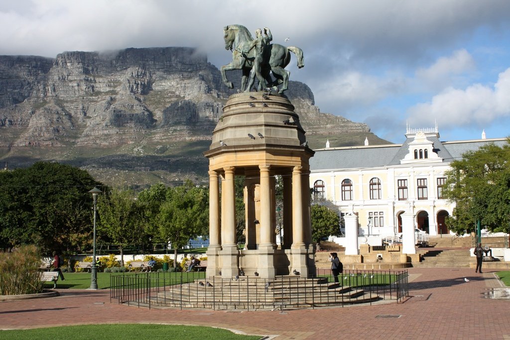
As the southern terminus, Cape Town is a vibrant city celebrated for its natural beauty and cultural heritage. Major attractions accessible from the highway include:
- Table Mountain Panoramic city and ocean views.
- Robben Island UNESCO World Heritage Site; ferries depart from the V&A Waterfront.
- Bo-Kaap Historic neighborhood with colorful houses and Cape Malay culture.
- Constantia Wine Estates South Africa’s oldest wine region.
- Sea Point & Atlantic Seaboard Promenades and white-sand beaches.
(Lonely Planet: Cape Town Attractions)
Practical Travel Guide: Cape Town Segment
Route and Infrastructure
The highway enters Cape Town via the N1 and N7, both modern and well-maintained. South Africa’s R940 billion investment plan continues to upgrade these critical corridors, ensuring efficient travel (iol.co.za). National highways feature multi-lane carriageways, regular signage, and extensive support facilities.
Accessibility and Toll Information
- Accessibility Public roads open 24/7. Some sections of the N1/N7 may charge tolls—carry local currency or cards.
- Navigation GPS and digital maps are strongly recommended. Real-time traffic updates can be checked via i-traffic.co.za.
- Fuel Full-service stations are common; tipping attendants is customary.
Safety and Driving Tips
- Road Safety Drive defensively, especially near minibus taxis. Adhere to speed limits—120 km/h (highways), 100 km/h (rural), 60 km/h (urban) (tagvault.org).
- Security Lock doors, avoid remote areas at night, and stay vigilant at traffic lights to prevent theft.
- Vehicle Preparedness Ensure your vehicle is in good condition with a spare tire and emergency kit (expatcapetown.com).
- Load Shedding Power outages may affect traffic lights; check schedules via local apps.
Parking
- Use secure lots or garages; street parking often requires a small payment and a tip for car guards (R5–R10).
Documentation
- Carry a valid driver’s license, vehicle registration, and insurance papers.
Key Cape Town Attractions: Visiting Details
Table Mountain
- Hours 8:00 AM – 7:00 PM (seasonal changes possible)
- Cableway Tickets ±ZAR 360 (adults), ZAR 180 (children); hiking is free
- Conservation Fee ±ZAR 75 (for hiking Table Mountain National Park) (Table Mountain Info)
Robben Island
- Tours Twice daily; ferry from V&A Waterfront
- Tickets ±ZAR 600 (adults). Book in advance.
- Accessibility Wheelchair friendly
Chapman’s Peak Drive
- Hours Varies (check local advisories for closures)
- Toll ±ZAR 55 per vehicle (Chapman's Peak Drive)
Cape Peninsula & Cape Point
- Hours 6:00 AM – 6:00 PM
- Entry Fee ±ZAR 320 (adults), ZAR 160 (children) (Cape Peninsula Info)
Constantia Winelands
- Hours Most estates open 9:00 AM–5:00 PM
Signal Hill & Lion’s Head
- Highlights Panoramic city views and popular hiking
Best Practices for Travelers
- Travel Season Dry months (Nov–Feb, Jun–Sep) have the best conditions; shoulder seasons offer fewer crowds.
- Currency South African Rand (ZAR); cards widely accepted.
- Health Travel insurance is recommended; emergency numbers: 10111 (police), 112 (general).
- Etiquette Tipping customary (10–15% in restaurants, R5–R10 for car guards). English is widely spoken; greetings in Afrikaans or isiXhosa are appreciated.
- Sustainable Tourism Respect local customs, minimize waste, and support local businesses.
Frequently Asked Questions
- Is the highway fully paved?
Southern sections in Namibia and South Africa are fully paved; central and northern parts remain under development. - Are there tolls?
Some N1/N7 segments have tolls—no tolls unique to the Tripoli–Cape Town Highway. - Are guided tours available?
No official full-route tours, though regional operators offer packages for southern segments. - Is it safe?
Southern sections are generally safe; check travel advisories for other regions.
Visual Highlights
Related Articles
- Top Hiking Trails in Cape Town
- Cape Town Wine Routes Guide
- Safety Tips for Tourists in South Africa
Summary and Final Recommendations
The Tripoli–Cape Town Highway is a living corridor of Africa’s unity and diversity, connecting the continent’s north and south through a mosaic of landscapes and cultures. While northern and central segments are still being developed, the southern sections—especially the approach to and within Cape Town—are ideal for overland travelers seeking a blend of adventure, natural beauty, and rich heritage (African Union; Lonely Planet: Cape Town Attractions). Practical preparation—border documents, vehicle checks, and awareness of safety protocols—will ensure a rewarding journey. Continued infrastructure investment underlines a promising future for the highway as a catalyst for economic growth and deeper regional integration (How We Made It In Africa; iol.co.za).
For up-to-date information and real-time travel support, download the Audiala app, and explore our related guides to maximize your African journey (African Development Bank; Audiala).