Introduction
The Nagoya Local Meteorological Observatory is a pivotal institution at the intersection of historical legacy, scientific innovation, and public education in Nagoya, Japan. As part of the Japan Meteorological Agency’s (JMA) network, the observatory has evolved since the early 20th century, providing essential weather observation, urban climate research, and disaster preparedness for the Chubu region. Its strategic location in Nagoya—a city characterized by rapid urbanization and complex weather patterns—makes it indispensable for monitoring everything from typhoons and heavy rainfall to the urban heat island effect. Featuring advanced automated systems like the Automated Meteorological Data Acquisition System (AMeDAS), the observatory supports both researchers and the public with high-resolution, real-time data (Japan Meteorological Agency Surface Observation; Nagoya Science Museum Exhibit).
The observatory is uniquely integrated with the Nagoya City Science Museum, offering interactive exhibits and educational programs that give visitors insight into meteorological science and its impact on local traditions, disaster resilience, and daily life. While general access is limited due to its operational role, special open days and guided tours provide opportunities for public engagement. This guide delivers comprehensive information on the observatory’s history, scientific contributions, visitor logistics, and tips to enhance your experience, whether you are a weather enthusiast, researcher, or tourist seeking to understand how meteorology shapes urban life in Nagoya.
Early Meteorological Observation in Japan and Nagoya
Meteorological observation in Japan began in the late 19th century, driven by the country’s vulnerability to typhoons, heavy rainfall, and seasonal climate variations. The Japan Meteorological Agency (JMA), founded in 1875, developed a network of observatories in major cities like Nagoya to support agriculture, transportation, and urban planning (JMA Surface Observation).
Nagoya’s rapid urban growth in the 20th century made it a strategic site for meteorological research, particularly for localized weather monitoring and urban climate studies.
Establishment and Evolution of the Nagoya Local Meteorological Observatory
The Nagoya Local Meteorological Observatory was established as a regional hub for continuous, high-quality weather data. Its evolution mirrors advances in meteorological technology and urbanization. Initially reliant on manual instruments for basic parameters, the observatory now employs automated systems—including electronic thermometers, hygrometers, and barometers—to increase accuracy and data frequency (JMA Surface Weather Observing System). The adoption of AMeDAS in 1974 marked a significant leap, enabling real-time data collection on pressure, temperature, humidity, wind, precipitation, snow depth, and sunshine (Nagoya Science Museum Exhibit).
Technological Advancements and Urban Climate Research
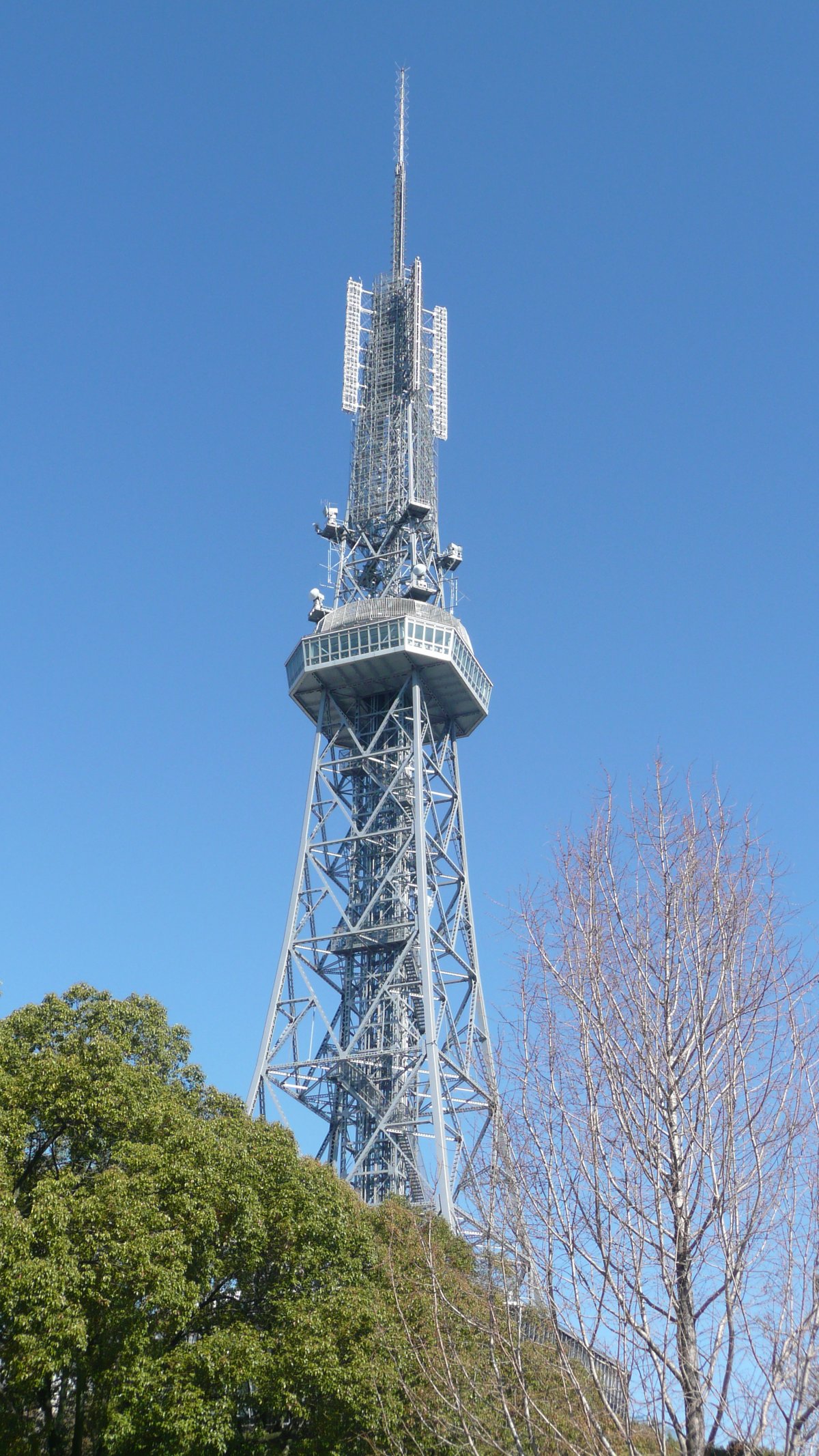
The observatory’s rooftop station at the Nagoya City Science Museum provides a unique vantage point for studying urban meteorology, particularly the “heat island” effect—where urban areas are warmer due to infrastructure and limited vegetation. Continuous data collection informs academic research and municipal policy to mitigate urban heat and adapt to changing climate patterns (Nagoya Science Museum Exhibit).
Role in Weather Forecasting and Public Safety
As part of the JMA’s national system, the observatory’s data feed into weather forecasting, severe weather warnings, and disaster response (JMA Activities). Its monitoring is critical for a region prone to typhoons and extreme weather, supporting timely public safety measures and climate research.
Integration with the Nagoya City Science Museum
The observatory’s rooftop installation is a central feature of the museum’s urban meteorology exhibit, allowing visitors to view real-time data and learn about weather instruments and climate science (Nagoya Science Museum Exhibit). The educational mission extends to practical advice on mitigating urban heat and engaging the public in disaster resilience.
Observation Equipment and Methodology
Key instruments at the observatory include:
- Electrical thermometers and hygrometers for temperature and humidity
- Tipping bucket rain gauges for precipitation
- Electronic barometers for pressure
- Propeller anemometers for wind
- Pyranometers and sunshine recorders for solar radiation
- Laser-based snow depth gauges and visibility meters for winter and visibility monitoring (JMA Equipment Details)
Instruments are shielded and ventilated, with observation fields maintained to minimize artificial heat influences.
Contribution to Urban and Regional Planning
Historical weather data from the observatory support resilient infrastructure, flood management, and urban greenery initiatives. Collaborations with academic and municipal partners ensure that findings guide practical adaptation strategies (Nagoya Science Museum Exhibit).
Visiting the Nagoya Local Meteorological Observatory
Location and Access
The observatory is located atop the Nagoya City Science Museum in Sakae, central Nagoya (2-17-1 Sakae, Naka-ku, Nagoya, Aichi Prefecture 460-0008, Japan).
- Subway: Fushimi Station (Higashiyama and Tsurumai Lines), 7-minute walk
- Bus: Multiple lines serve the area
- Car: Limited parking available
Visiting Hours and Tickets
- Museum Hours: 9:30 AM–5:00 PM (last entry 4:30 PM), closed Mondays and some holidays
- Observatory Access: Included with museum admission; no separate ticket required
- Tickets: Adults ~¥800; discounts for students, seniors, children (Nagoya City Science Museum Exhibit Guide)
Accessibility
The museum and observatory exhibit are wheelchair accessible, with elevators and ramps available.
Nearby Attractions
- Osu Shopping District: Shops, cafes, and cultural sites
- Nagoya Castle: Historic landmark (~3 km away)
- Noritake Garden: Ceramics park with workshops
Visitor Tips
- Check the museum website for events or closures
- Inquire about guided tours of the meteorological exhibit
- Confirm photography permissions within exhibits
Frequently Asked Questions (FAQ)
Q: Are guided tours available?
A: Guided tours may be offered during special events; check the museum’s website for details.
Q: Is there a separate admission fee for the observatory?
A: No; observatory access is included with museum admission.
Q: When is the best time to visit?
A: Museum hours ensure access; spring and autumn offer the most comfortable weather.
Q: Is the observatory suitable for children and educational groups?
A: Yes; exhibits are engaging for all ages and school groups.
Historical Development and Role
The Nagoya Local Meteorological Observatory (Nagoya LMO) has evolved from a late 19th-century manual observation post to a technologically advanced node in Japan’s meteorological network. Its strategic location on the Nobi Plain, facing Ise Bay and bordered by mountains, makes it essential for monitoring diverse weather phenomena and issuing data vital for agriculture, disaster prevention, and urban planning (MATCHA).
Today, Nagoya LMO employs automated weather stations, Doppler radar, and satellite integration, supporting both daily forecasting and long-term climate research. Its data inform national and local decision-making, disaster risk reduction, and environmental policy.
Scientific Significance and Research Contributions
Meteorological Monitoring and Forecasting
Advanced models like the Weather Research and Forecasting (WRF) Model and those developed by the JMA and Meteorological Research Institute enable high-resolution forecasting, essential for predicting phenomena such as the Föhn effect and Ibuki Oroshi winds (ScienceDirect; MATCHA).
Climate Research and Environmental Studies
Long-term records contribute to studies on climate variability and change, including trends in extreme heat and precipitation. Projects like JRA-55 and d4PDF utilize the observatory’s data for regional and global climate modeling (ScienceDirect).
Disaster Prevention and Public Safety
The observatory issues timely warnings for typhoons, rains, floods, and heatwaves, with real-time data supporting municipal response and public advisories (MATCHA). It also supports drought analysis and water resource management through advanced indices and modeling.
Atmospheric Chemistry and Air Quality
Active in atmospheric chemistry research, the observatory monitors trace gases and pollutants, collaborating globally through models like MOZART-4 and MRI-CCM2 to study air quality and seasonal variations (ScienceDirect).
Technological Infrastructure and Methodologies
Nagoya LMO utilizes:
- Automated weather stations
- Doppler radar
- National and international satellite integration
- Advanced numerical models (e.g., WRF, MRI-AGCM)
Data are processed with sophisticated methods to ensure reliability, and disseminated via JMA platforms for public and research use.
Impact on Society and Education
Public Awareness and Outreach
The observatory provides weather information, climate statistics, and disaster preparedness resources to local communities, schools, and businesses.
Support for Tourism and Urban Life
Forecasts support tourism (e.g., cherry blossom season planning) and daily life, with recommendations for safety and comfort (MATCHA).
Contribution to Urban Planning
Long-term data inform city planning, flood control, and heat mitigation strategies, contributing to urban resilience.
Practical Information for Visitors
Visiting Hours and Admission
Routine public access is limited; however, special events (e.g., World Meteorological Day) offer guided tours and educational programs. Admission is typically free for these events, but reservations may be required.
Accessibility
The museum and observatory exhibit are accessible by public transport and wheelchair-friendly. Contact the museum or observatory for specific accessibility questions.
Nearby Attractions and Internal Links
Real-Time Weather Updates
Access real-time forecasts via the Japan Meteorological Agency or Audiala app.
Discover Nagoya Meteorological Science: Visitor Information, Cultural Significance, and Educational Opportunities
Nagoya’s meteorological science integrates research, education, and cultural traditions. The LMO works with local government, schools, and NGOs to foster disaster preparedness, scientific literacy, and community resilience (JMA Organization).
Seasonal Events and Local Traditions
Events like cherry blossom viewing rely on forecasts provided collaboratively by the JMA and the Japan Weather Association (JWA Cherry Blossom Forecast).
Public Engagement
Open days and educational programs make meteorology accessible, while citizen science initiatives encourage residents to participate in climate and weather monitoring.
Partnerships and Innovation
Academic partnerships (e.g., with Nagoya University’s HyARC) drive innovation, and international cooperation ensures global advancements (HyARC CReSS Model). Community events, art, and public installations reflect meteorological themes throughout Nagoya.
Summary and Tips for Visiting Nagoya Local Meteorological Observatory
The Nagoya Local Meteorological Observatory is a beacon of scientific excellence, historical significance, and public engagement. It safeguards communities, guides urban development, and supports economic activity through accurate weather data and forecasts. Its partnership with the Nagoya City Science Museum transforms it into an educational hub, making meteorological science accessible to all ages through exhibitions, open days, and collaborative programs (ScienceDirect Meteorological Research; MATCHA; Nagoya Science Museum Exhibit; JMA Disaster Risk Reduction).
Although routine public access is limited, visitors can take advantage of special events and museum integration for a firsthand look at meteorological science. For a well-rounded experience, combine your observatory visit with Nagoya’s historical and cultural attractions. Plan ahead, use real-time resources like the Audiala app, and consult official guides (Nagoya City Science Museum).
Listen to the full story in the app
Your Personal Curator, in Your Pocket.
Audio guides for 1,100+ cities across 96 countries. History, stories, and local insight — offline ready.
Audiala App
Available on iOS & Android
Join 50k+ Curators
Sources
- verified
- verified
-
verified
MATCHA, 2025
Nagoya Local Meteorological Observatory Overview
- verified
- verified
- verified
- verified
- verified
- verified
- verified
Last reviewed: