Brooklyn Battery Tunnel Visiting Hours, Tickets, and New York City Historical Sites Guide
Date: 14/06/2025
Introduction
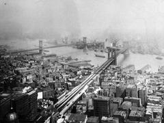
The Brooklyn–Battery Tunnel, officially known as the Hugh L. Carey Tunnel since 2010, is an iconic piece of New York City’s infrastructure. Spanning beneath the East River, it provides a critical link between Brooklyn and Manhattan, shaping the city’s daily commute and urban landscape. Completed in 1950 and renowned as North America’s longest continuous underwater vehicular tunnel, its story is one of engineering innovation, urban planning, and resilience in the face of historic events like Superstorm Sandy.
While the tunnel is restricted to vehicular traffic, visitors can appreciate its significance by exploring the vibrant neighborhoods nearby—including Battery Park, Governors Island, and Red Hook—where the tunnel’s legacy is closely interwoven with New York’s cultural and historical tapestry. This comprehensive guide covers practical information on visiting the tunnel, navigating tolls, and discovering must-see attractions in the vicinity, as well as delving into the tunnel’s rich historical background.
For the most current toll rates, travel alerts, and further information, visit the MTA Bridges and Tunnels website (MTA Official Site; NYC Roads Brooklyn–Battery Tunnel; CBS News on Tunnel Resilience).
Table of Contents
- Introduction
- Historical Overview
- Visiting the Brooklyn Battery Tunnel
- Architectural Features and Urban Impact
- Maintenance, Upgrades, and Resilience
- Frequently Asked Questions (FAQ)
- Plan Your Visit
- References
Historical Overview
Early Planning and Proposals
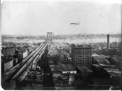
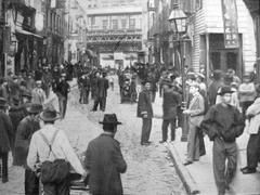
The idea for a direct connection between Lower Manhattan and Brooklyn emerged in the 1920s, prompted by New York City’s rapid growth and increasing vehicular traffic. Plans for a tunnel were first submitted in 1930 but delayed by financial and logistical difficulties. In 1936, the city created the New York City Tunnel Authority to oversee construction, reflecting a determined push to modernize urban infrastructure.
Controversy marked these early years. Prominent planner Robert Moses advocated building a bridge, but strong opposition from the public and the U.S. Army Corps of Engineers—concerned about obstructing shipping lanes—ensured the tunnel plan won out.
Design and Engineering Innovations
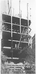
The tunnel’s design was helmed by Ole Singstad, an authority on underwater tunnels. His blueprint featured twin tubes, each carrying two lanes under the East River for a total length of 9,117 feet (2,779 meters)—a record at the time. The project pioneered a ventilation system using four huge ventilation buildings (two in Manhattan, one in Brooklyn, one on Governors Island) capable of exchanging the tunnel’s air every 90 seconds, ensuring user safety.
Construction Timeline and Challenges
Construction started in 1940, but World War II forced a three-year halt due to material shortages. Work resumed postwar, culminating in the tunnel’s opening in 1950. The total cost was about $80 million (over $800 million in today’s dollars), making it the most expensive tunnel project in U.S. history at that point.
The Tunnel’s Early Years
The Brooklyn–Battery Tunnel opened to traffic on May 25, 1950, celebrated as the most advanced underwater tunnel in the nation. Its completion drastically improved access between Brooklyn and Manhattan, shaping commuting patterns for decades and impacting the development and character of surrounding neighborhoods.
Visiting the Brooklyn Battery Tunnel
Access and Operating Hours
- Vehicular Access Only: The tunnel is open exclusively to motor vehicles—no pedestrians or cyclists allowed.
- Operating Hours: 24 hours a day, 7 days a week.
- Entrances:
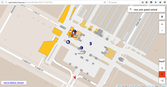
- Manhattan: Near Battery Park, Financial District (GPS: 40.7061°N, -74.0148°W)
- Brooklyn: Near Hamilton Avenue, Red Hook (GPS: 40.6807°N, -74.0049°W)
Toll Information
- Payment: All-electronic tolling (no cash booths); pay by E-ZPass or toll-by-mail via license plate photo.
- Rates: As of 2025, $8.50 per car (toll-by-mail) or $5.76 (E-ZPass), each way. Bus and other vehicle rates vary.
- Rental Cars: Confirm toll payment with your rental agency.
- For the latest details, visit the MTA Bridges and Tunnels Toll Information page.
Accessibility
- Vehicles: All standard vehicles, including buses and taxis, are permitted. The tunnel has a height restriction of 12 feet, 1 inch (3.68 meters). Hazardous materials are prohibited.
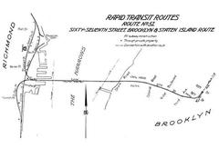
- Public Transit: Express bus lines operated by the MTA use the tunnel to connect Brooklyn, Manhattan, and Staten Island.
- Pedestrians/Cyclists: Not permitted. For walking or cycling, use the Brooklyn or Manhattan Bridges.
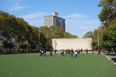
Nearby Attractions & Photo Spots
While you cannot walk through the tunnel, its surrounding areas offer excellent exploration opportunities:
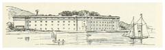
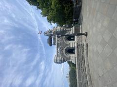
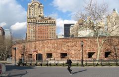
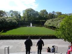
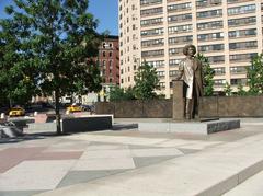
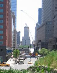
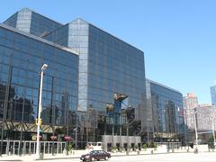
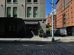
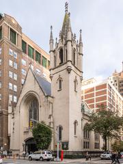
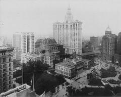
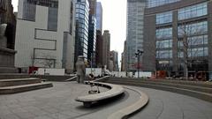
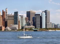
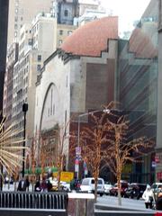
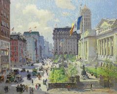
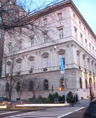
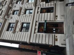
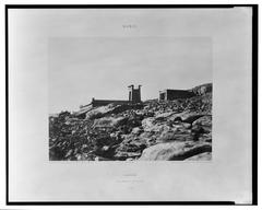
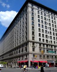
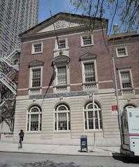
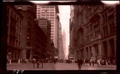
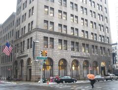
- Battery Park (Manhattan): Historic park with views of the tunnel’s Manhattan ventilation building, Statue of Liberty, and Ellis Island.
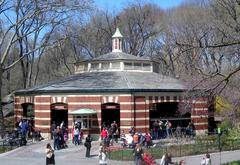
- Governors Island: Accessible by ferry; features a tunnel ventilation building, walking paths, and cultural events.
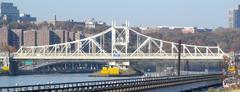
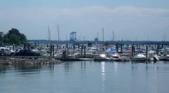
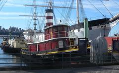
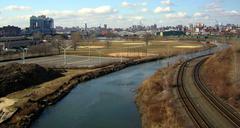
- Red Hook (Brooklyn): Waterfront district with parks, art spaces, and views of the Brooklyn portal.
- Brooklyn Heights & Brooklyn Bridge Park: Nearby scenic walks and city skyline vistas.
Guided Tours and Events
- Tunnel Interior: No public tours due to safety and security.
- Neighborhood Tours: Local historical societies occasionally offer walking tours focused on the tunnel’s construction and impact.
- Community Events: The annual Tunnel to Towers Run honors 9/11 hero Stephen Siller, allowing participants to traverse the tunnel on foot during the event (CBS News on Tunnel Resilience).
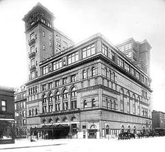
Architectural Features and Urban Impact
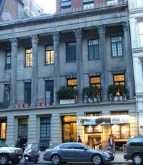
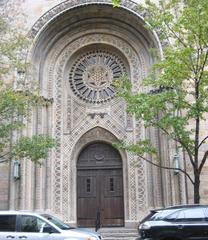
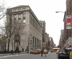
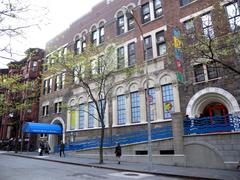
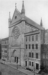
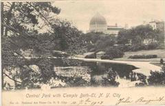
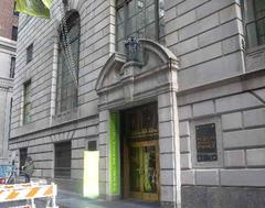
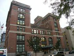
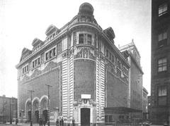
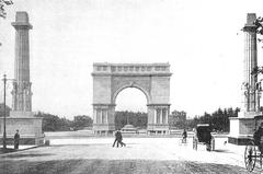
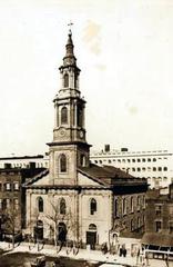
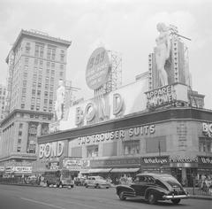
The Brooklyn–Battery Tunnel is renowned for its distinctive ventilation buildings—such as the Moderne-style structure at Battery Place and the octagonal vent on Governors Island—designed by leading architects of their time. The tunnel’s construction led to the displacement of communities, notably the historic Syrian Quarter in Manhattan, and physically altered the Red Hook area, highlighting the dual impact of infrastructure on urban development and social fabric.
Maintenance, Upgrades, and Resilience
Regular maintenance and technology upgrades ensure the tunnel’s safety and efficiency. Major initiatives have included ceiling restoration, the introduction of cellular coverage, and post-Hurricane Sandy flood resilience projects—such as new flood doors and pumping systems—to safeguard against future threats (CBS News on Tunnel Resilience).
Frequently Asked Questions (FAQ)
Q: Can I walk or bike through the tunnel?
A: No, the tunnel is strictly for motor vehicles.
Q: What are the tunnel’s hours?
A: The tunnel operates 24/7 for vehicular traffic.
Q: How are tolls paid?
A: Tolls are collected electronically via E-ZPass or toll-by-mail. No cash is accepted.
Q: Are there height or vehicle restrictions?
A: Vehicles over 12 feet, 1 inch or carrying hazardous cargo are prohibited.
Q: Are there public tours or a visitor center?
A: No public tours are available, but local walking tours may cover the tunnel’s history.
Q: What are the best spots for tunnel views or photos?
A: Battery Park, Governors Island, and Red Hook’s waterfront provide great views.
Plan Your Visit
- Driving: Check real-time conditions via 511NY Traffic Portal or NYC DOT Weekly Traffic Advisory.
- Public Transit: Use MTA express bus services for efficient travel through the tunnel.
- Exploring: Pair your drive with visits to adjacent neighborhoods for historic sites, dining, and scenic views.
Summary and Recommendations
The Brooklyn–Battery (Hugh L. Carey) Tunnel stands as a testament to New York City’s spirit of innovation and resilience. Though it is not open for tours or non-vehicular access, its surrounding neighborhoods—Battery Park, Governors Island, and Red Hook—offer rich historical context and memorable views. Understanding the tunnel’s tolling system, operating hours, and nearby attractions will ensure a seamless journey and a deeper appreciation of this urban landmark.
For more information, consult the MTA Bridges and Tunnels website and consider downloading the Audiala app for travel tips and updates on New York City attractions.
References
- Brooklyn Battery Tunnel Visiting Guide: History, Tickets, and Travel Tips, 2023, MTA (https://new.mta.info/agency/bridges-and-tunnels)
- Brooklyn Battery Tunnel (Hugh L. Carey Tunnel): History, Visiting Info, and Travel Tips, 2023, NYC Roads (http://www.nycroads.com/crossings/brooklyn-battery/)
- Brooklyn–Battery Tunnel: History, Social Impact, and Urban Connectivity in New York City, 2023, CBS News and NY.com (https://www.cbsnews.com/newyork/tag/brooklyn-battery-tunnel/), (https://www.ny.com/transportation/crossings/brooklyn_battery.html)
- Brooklyn–Battery Tunnel Visiting Hours, Toll Info & Nearby Attractions in New York City, 2023, MTA Official Site (https://new.mta.info/bridges-and-tunnels/hugh-l-carey-tunnel)
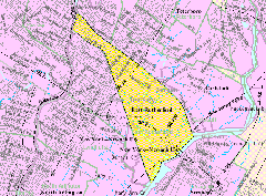
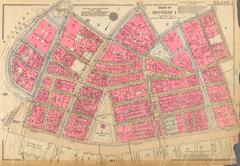
For enhanced visitor experience, include images and maps with descriptive alt text such as “Brooklyn Battery Tunnel ventilation building at Battery Park” and “Map showing Brooklyn Battery Tunnel location and nearby attractions.”