Ma-20 Palma, Spain: Visiting Hours, Tickets, and Historical Sites Guide
Date: 14/06/2025
Introduction
Palma de Mallorca, the capital of Mallorca, is famous for its rich history, vibrant culture, and Mediterranean landscapes. The Ma-20 ring road, known locally as the “Vía de Cintura,” is a key feature of the city’s modern infrastructure, encircling Palma and facilitating access between districts, the airport, ports, and major attractions. This comprehensive guide details the Ma-20’s historical context, structure, urban impact, and practical travel tips—helping both tourists and residents navigate Palma efficiently. Whether you’re planning to explore historic landmarks, enjoy Mallorca’s beaches, or commute through the city, understanding the Ma-20 ensures a seamless travel experience.
Table of Contents
- Introduction
- Early Urban Development of Palma
- The Rise of Modern Infrastructure and the Need for the Ma-20
- Construction and Evolution of the Ma-20 Ring Road
- Impact on Urban Form and Mobility
- Structure and Route of the Ma-20
- Urban Significance and Visitor Relevance
- Practical Travel Tips for Using the Ma-20
- Safety, Regulations, and Local Driving Culture
- Visiting Palma’s Historical Sites: Tickets and Hours
- FAQ
- Visual Aids
- Summary and Final Tips
- References and Further Reading
Early Urban Development of Palma
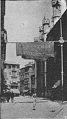
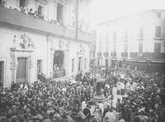
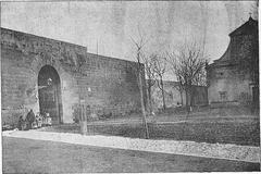
Palma’s urban landscape has evolved over millennia, beginning with its Roman foundation in 123 BCE. The city’s original core featured a grid design, later expanded and fortified by Moorish and Spanish rulers. Medieval Palma was defined by defensive walls, narrow streets, and landmarks such as the Cathedral of Santa Maria (La Seu) and the Almudaina Palace. As trade flourished, the city grew beyond its walls, absorbing neighboring villages and farmlands (Wikipedia: Timeline of Palma de Mallorca).
By the 19th and 20th centuries, increased population and tourism led to dramatic urbanization. The demolition of some ancient walls made way for boulevards and public spaces, while new infrastructure was needed to link the old city with growing suburbs and industrial zones, setting the stage for the Ma-20.
The Rise of Modern Infrastructure and the Need for the Ma-20
The mid-20th-century tourism boom transformed Palma into a cosmopolitan hub, driving up traffic and congestion. The city’s roads, built for a smaller population, struggled with increased mobility demands. Inspired by European urban planning models, Palma adopted the ring road concept to redirect through-traffic away from its historic center, reduce congestion, and foster planned urban growth (The Geography of Transport Systems).
Construction and Evolution of the Ma-20 Ring Road
Construction of the Ma-20 began in the late 20th century, establishing a multi-lane expressway that links all major radial routes into Palma. Designed to encircle the city and divert freight and through-traffic, the Ma-20 features key interchanges and direct access to commercial and industrial districts. Continuous upgrades include expanded lanes, modern tunnels, and improved junctions. Recently, approval for a second ring road—with new tunnels and cycle lanes—demonstrates ongoing commitment to reducing congestion and supporting sustainable growth (Majorca Daily Bulletin).
Impact on Urban Form and Mobility
The Ma-20 has reshaped Palma’s urban structure by decentralizing development and stimulating growth along its corridor. It relieves pressure on the historic center, improves airport and port access, and supports the city’s economic vitality. However, it has also contributed to car dependency and urban sprawl, prompting new strategies for sustainable transport, such as park-and-ride facilities and expanded cycle lanes (ScienceDirect: Highway Planning).
Structure and Route of the Ma-20
- Length: Approximately 11 kilometers, forming a semi-circular ring around Palma.
- Lanes: Three per direction on busiest stretches, following a major expansion in 2010.
- Speed Limits: Typically 80–100 km/h; observe posted signs as limits may vary (es.wikipedia.org).
- Key Interchanges: Connects with Ma-1 (southwest), Ma-13 (north), Ma-15 (east), and Ma-19 (southeast, airport access).
- Exits: 15 exits serving residential, commercial, and industrial zones, including Son Sardina (university access), Can Valero (industrial), Cala Major (beaches), and Portopí (ferry terminal).
The Ma-20’s modern design includes medians, safety barriers, effective signage, and ongoing improvements to enhance safety and traffic flow (diariodemallorca.es).
Urban Significance and Visitor Relevance
The Ma-20 is critical not just for commuters but for tourists, offering:
- Direct airport and port access for arrivals and departures.
- Efficient routes to Palma’s major attractions, such as La Seu Cathedral, Bellver Castle, and nearby beaches.
- Alleviation of city center congestion by diverting through-traffic.
- Support for economic activity by connecting commercial zones and facilitating tourism (touristguidemap.com).
Practical Travel Tips for Using the Ma-20
- Traffic Updates: Use navigation apps for real-time information, especially during summer and rush hours.
- Best Exits: For the historic center, use central exits; for beaches like Cala Major, take western exits; for nightlife in Santa Catalina, use northern ones.
- Speed Limits: Observe posted limits (80–100 km/h).
- Parking: Utilize park-and-ride facilities at city outskirts and avoid driving into the old town due to limited parking.
- Car Rentals: Reserve early and confirm parking at your accommodation (asinglewomantraveling.com).
- Public Transportation: Intercity buses connect via feeder roads but do not travel directly on Ma-20.
- Cycling: New cycle lanes offer safer alternatives along parts of the corridor.
Safety, Regulations, and Local Driving Culture
- The Ma-20 is well-patrolled, with clear signage and modern road surfaces.
- Seat belts are mandatory; mobile phone use is prohibited while driving.
- Mallorca’s roads include many roundabouts—yield to the left and use indicators.
- Stay alert for motorcycles and follow defensive driving practices, especially if new to local traffic customs (thetraveler.net).
- Pedestrian access is prohibited on Ma-20; use public transport or taxis for city center visits.
Visiting Palma’s Historical Sites: Tickets and Hours
- La Seu Cathedral: Open 10:00–18:15 (may vary seasonally); tickets available online or at the door—book ahead in high season.
- Bellver Castle: Open 9:30–19:30; tickets at the entrance.
- Es Baluard Museum: Open 10:00–19:00; tickets available online and onsite.
- Many sites offer combined or skip-the-line tickets and guided tours departing from areas accessible via Ma-20 exits (Salt in Our Hair Mallorca Guide).
FAQ
Q: Are there tolls on the Ma-20?
A: No, the Ma-20 is toll-free.
Q: Is Ma-20 open 24/7?
A: Yes, it operates without restrictions.
Q: Which exits should I use for Palma’s main attractions?
A: Central exits for the historic center, west for beaches, north for nightlife and Santa Catalina.
Q: Does Ma-20 have special rules or restrictions?
A: Speed limits and occasional event roadworks; check real-time updates via apps or local news.
Q: Is Ma-20 safe for cyclists?
A: Upgrades have added cycle lanes along certain portions.
Q: Where can I park if visiting the city center?
A: Use park-and-ride lots near Ma-20 exits; avoid parking in the old town.
Visual Aids
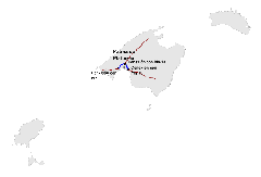
- [Insert map image of the Ma-20 ring road with alt text: “Ma-20 ring road map showing main exits and Palma attractions.“]
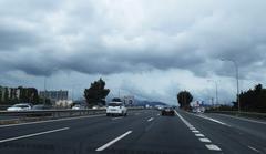
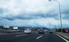
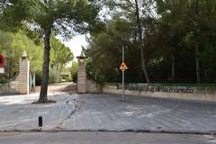
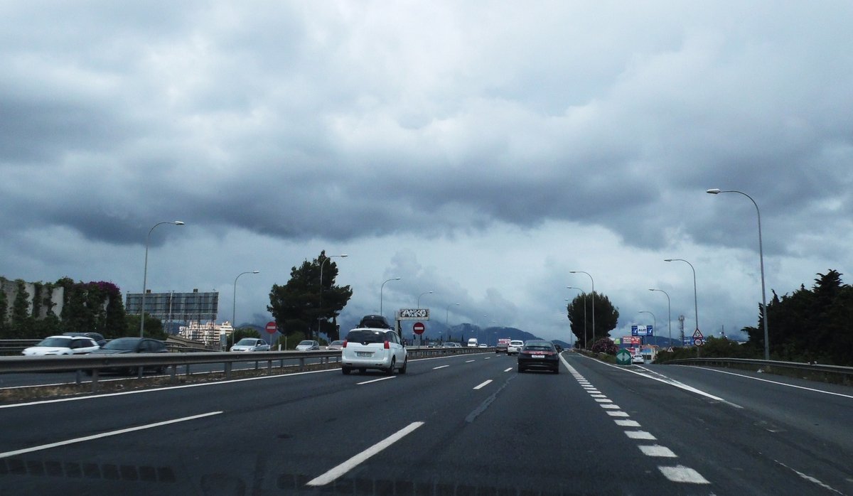
- [Insert photo of Ma-20 highway section with alt text: “Ma-20 motorway with traffic signage and modern safety barriers.“]
- [Insert images of La Seu Cathedral, Bellver Castle, and Cala Major beach with SEO-rich alt text.]
Summary and Final Tips
The Ma-20 ring road is a cornerstone of Palma’s transportation system, reducing congestion, supporting economic growth, and improving access for residents and tourists. By understanding its structure and traffic patterns, travelers can enjoy Palma’s beaches, historical sites, and vibrant neighborhoods with greater ease and safety. Use GPS navigation, avoid peak hours, and take advantage of park-and-ride options for a more enjoyable experience.
Download the Audiala app for up-to-date traffic information, travel tips, and detailed guides on Palma’s cultural sites. Stay connected with our community for additional travel resources and the latest updates.
References and Further Reading
- Wikipedia: Timeline of Palma de Mallorca
- Majorca Daily Bulletin
- The Geography of Transport Systems
- Mallorca.com
- Diariodemallorca.es
- ScienceDirect: Highway Planning
- Tourist Guide Map Palma
- Wanderlog Palma Map
- Asinglewomantraveling.com
- Thetraveler.net
- Salt in Our Hair Mallorca Guide
