Mumbai Trans Harbour Link: Visiting Hours, Tickets, and Comprehensive Travel Guide
Date: 14/06/2025
Introduction: The Mumbai Trans Harbour Link and Its Significance
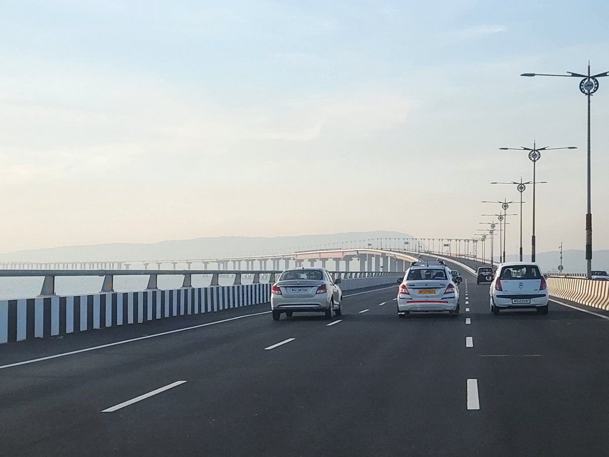
The Mumbai Trans Harbour Link (MTHL), officially named Atal Bihari Vajpayee Sewri–Nhava Sheva Atal Setu, stands as a testament to India’s modern infrastructural ambitions. At 21.8 kilometers, this is not only India’s longest sea bridge but also among the longest globally, connecting Sewri in Mumbai to Chirle in Navi Mumbai. Decades in the making, the MTHL is a critical artery designed to alleviate traffic congestion, enhance regional connectivity, and drive economic growth in the Mumbai Metropolitan Region (MMRDA Project Details; BricksFamily).
More than a functional expressway, the MTHL incorporates advanced engineering—such as orthotropic steel decks, seismic resilience, and intelligent transport systems—while integrating safeguards to protect sensitive ecosystems like the Sewri Mudflats. As a 24/7 vehicular corridor, the bridge dramatically reduces travel time between Mumbai and Navi Mumbai, unlocking new opportunities for commuters, businesses, and travelers, and providing spectacular views of the Arabian Sea and city skyline (Clicbrics; Travel + Leisure Asia).
This guide offers a detailed overview of the MTHL’s history, engineering milestones, travel information, nearby attractions, environmental aspects, and practical tips for both daily commuters and visitors.
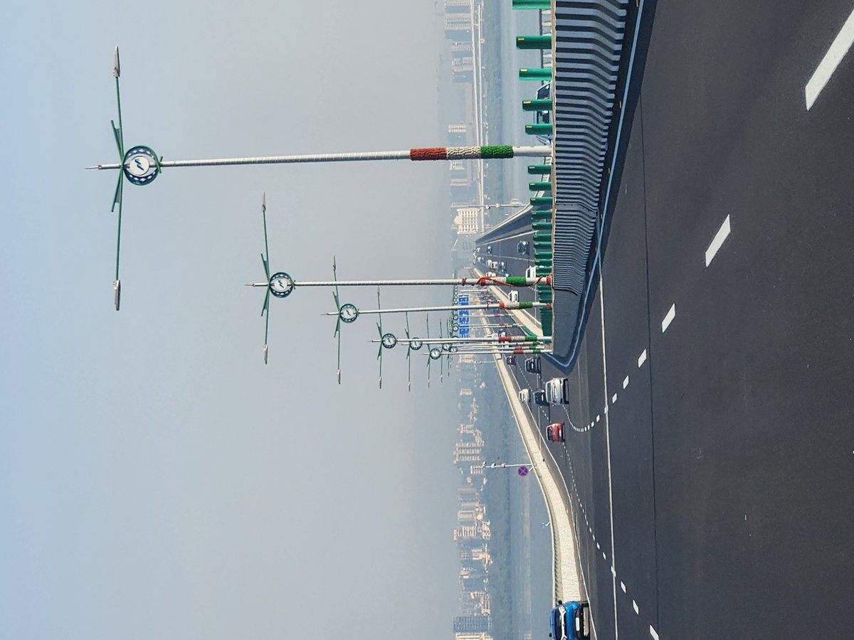
Table of Contents
- Introduction and Significance
- Historical Background and Project Development
- Engineering and Design Highlights
- Construction Milestones
- Visiting Hours, Tickets, and Usage Guidelines
- Travel Tips and Nearby Attractions
- Integration with Urban Development
- Socio-Economic and Environmental Impact
- Frequently Asked Questions (FAQ)
- Legacy and Ongoing Developments
- Visuals and Media
- Related Articles
- Conclusion and Visitor Recommendations
- Sources and Further Reading
Historical Background and Project Development
Vision and Early Planning
The MTHL’s origins trace back to the late 1960s, when city planners first envisioned a trans-harbour link to decongest Mumbai’s island city and stimulate growth across Thane Creek. The proposal gained momentum in the 1980s and 1990s as Navi Mumbai emerged as a planned satellite city. Despite the clear need, the project faced decades of delays due to financial, environmental, and bureaucratic challenges. It was formally designated as a Regional Development Project in 2011, reflecting its importance as more than just a transport corridor (MMRDA Project Details).
Project Approval and Funding
By the early 2000s, Mumbai’s existing road bridges to Navi Mumbai were overwhelmed. The Mumbai Metropolitan Region Development Authority (MMRDA) became the nodal agency for the MTHL in 2009. A significant breakthrough came with funding from the Japan International Cooperation Agency (JICA), which provided a major portion of the project’s ₹17,843–18,000 crore cost, ensuring both financial and technical feasibility (InfraInfoHub; Marathon Realty).
Engineering and Design Highlights
The MTHL’s final design features a 21.8 km, six-lane bridge—16.5 km over sea and 5.5 km on land—making it the tenth-longest sea bridge in the world (BricksFamily). Key engineering features include:
- Multi-level interchanges at Sewri and Chirle, ensuring seamless connectivity to major highways.
- Orthotropic steel decks for the main spans, a first in Indian bridge construction, allowing for lighter yet strong marine segments.
- Seismic and corrosion protection through advanced bearings and high-performance materials.
- Intelligent Transport Systems (ITS): Real-time traffic monitoring, electronic toll collection, CCTV, and emergency response infrastructure.
- Environmental safeguards: Noise and vision barriers, careful alignment to avoid sensitive zones, and eco-friendly LED lighting (Clicbrics).
Environmental clearances were secured by 2016, following thorough impact assessments to protect local ecosystems (Marathon Realty).
Construction Milestones
The project was divided into four main packages. Contracts were awarded in 2017 to a consortium including Larsen & Toubro, IHI Corporation, Daewoo, and Tata Projects. Construction began in 2018, with major milestones including:
- First-time orthotropic steel deck installation in India.
- Completion of marine viaducts and land approaches by 2023, despite pandemic and technical hurdles.
- Integration of advanced safety features like crash barriers and emergency lanes (BricksFamily).
The MTHL was inaugurated in January 2024 and is now open for public use (Travel + Leisure Asia).
Visiting Hours, Tickets, and Usage Guidelines
Operating Hours and Access
- Open 24/7: The MTHL operates round-the-clock for all eligible vehicles.
- Vehicle Eligibility: Only four-wheeled motor vehicles—cars, SUVs, buses, and trucks—are permitted. Two-wheelers, auto-rickshaws, and pedestrians are not allowed.
- Speed Limit: 100 km/h, with stopping prohibited except for emergencies.
- No Pedestrian or Cyclist Access: Due to safety regulations, there are no walkways or cycling lanes.
Toll and Ticketing Information
- Electronic Toll (FASTag): All tolls are collected electronically. Ensure your FASTag is active and funded.
- 2024 Toll Rates:
- Single Trip: ₹250
- Return Trip: ₹375
- Day Pass: ₹625
- Monthly Pass: ₹12,500
- Payment: No cash payments; all transactions via FASTag (MMRDA MTHL page).
Travel Tips and Nearby Attractions
Travel Tips
- Best Time to Cross: Early mornings and late evenings for light traffic and beautiful views.
- Safety: Follow posted speed limits and signage. Emergency lanes and surveillance ensure safety.
- No Stopping: Photography is only allowed from inside moving vehicles; stopping is not permitted.
Nearby Attractions
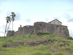
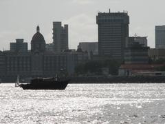
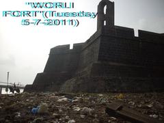
- Sewri Fort & Sewri Mudflats: Excellent for birdwatching, especially flamingos in winter.
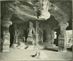
- Elephanta Caves: UNESCO World Heritage site accessible from nearby docks.
- Navi Mumbai Parks and Markets: Explore urban spaces, shopping, and food.
- Jawaharlal Nehru Port Trust (JNPT): Key industrial access point.
Integration with Mumbai’s Urban Development
MTHL is a vital part of Mumbai’s expanding infrastructure, integrating with projects such as the Mumbai Coastal Road, Sewri–Worli Connector, and the future Navi Mumbai International Airport (InfraInfoHub). It is designed to:
- Decongest existing bridges at Vashi and Airoli.
- Spur urban and industrial growth in Navi Mumbai and Raigad.
- Enhance airport and port connectivity (Marathon Realty; Clicbrics).
Socio-Economic and Environmental Impact
The MTHL not only reduces travel time from two hours to 20 minutes but also:
- Reduces emissions and fuel consumption by providing a direct, signal-free route.
- Boosts housing and job opportunities in Navi Mumbai.
- Protects sensitive habitats through noise barriers and careful route selection.
- Promotes community engagement with features like a bird-watching platform during construction (Clicbrics).
Frequently Asked Questions (FAQ)
Q: Can pedestrians or cyclists use the MTHL?
A: No. Access is strictly limited to four-wheeled motor vehicles.
Q: How are tolls collected?
A: All tolls are electronic via FASTag. No cash is accepted.
Q: Are there guided tours or dedicated viewpoints?
A: No official tours or walkways exist, but nearby sites such as Sewri Fort offer good views.
Q: Is public transport available on the MTHL?
A: Some bus routes may use the bridge, but there are no dedicated public transit services as of now.
Q: Is photography allowed?
A: Only from moving vehicles. Do not stop on the bridge for photos.
Legacy and Ongoing Developments
The MTHL is a landmark in India’s infrastructure landscape, reflecting international collaboration and innovative engineering. Future enhancements, such as integration with metro and further transport networks, will continue to elevate its role in Mumbai’s development (Travel + Leisure Asia; Clicbrics).
Visuals and Media
For visuals, refer to official MMRDA portals and trusted travel websites for images and interactive maps that highlight the bridge’s structure and route.
Related Articles
- Mumbai Coastal Road Project: Enhancing Urban Mobility
- Guide to Navi Mumbai International Airport
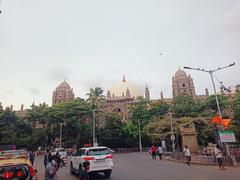
- Top Historical Sites in Mumbai
Conclusion and Visitor Recommendations
The Mumbai Trans Harbour Link is more than a bridge—it is a symbol of Mumbai’s forward momentum and a gateway to new opportunities. For commuters, it offers unmatched convenience; for visitors, it provides a glimpse into the city’s engineering prowess and connectivity vision. Explore the surrounding attractions, use official channels for updates, and travel responsibly.
For seamless navigation, real-time traffic updates, and detailed city guides, download the Audiala app. Share your experiences with #AtalSetu and join the conversation on Mumbai’s transformation.
Sources and Further Reading
- MMRDA Project Details, 2024, Mumbai Metropolitan Region Development Authority
- Marathon Realty, 2024, MTHL Everything You Need to Know
- InfraInfoHub, 2024, Mumbai’s 6 Mega Road Projects: A Glimpse Into the Future of Commuting
- BricksFamily, 2024, Analysis & Insights on Mumbai Trans Harbour Link
- Clicbrics, 2024, Everything About Mumbai Trans Harbour Link
- Travel + Leisure Asia, 2024, Mumbai Trans Harbour Link: India’s Longest Sea Bridge