Plan and listen to Avenida Presidente Antônio Carlos with Audiala.
Audio guide in your pocket, itinerary in your browser. Built for the way you actually visit.
Introduction
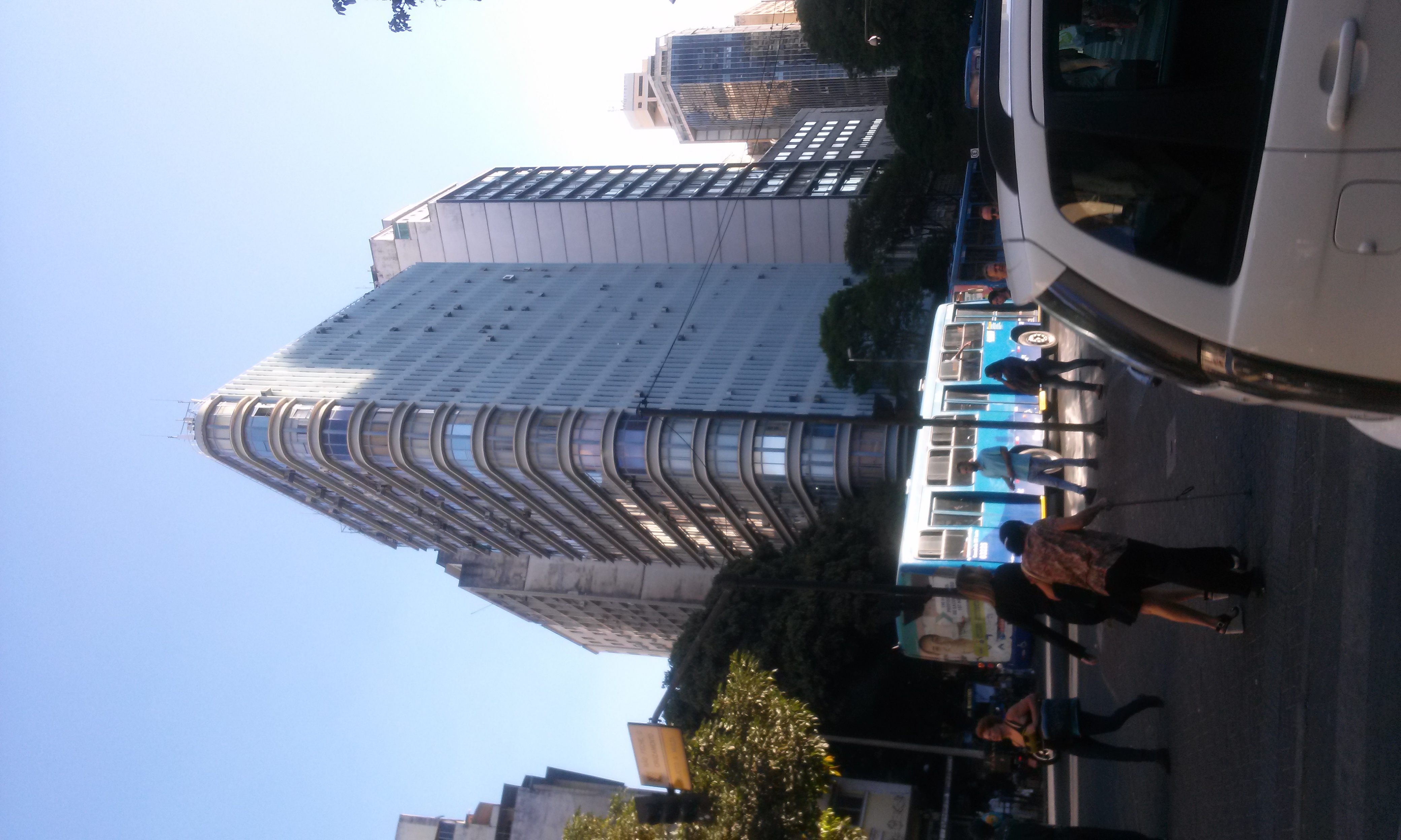
Avenida Presidente Antônio Carlos is one of Belo Horizonte’s most significant urban corridors, blending historical depth, cultural vibrancy, and modern infrastructure. Stretching approximately 8 kilometers from the historic Lagoinha neighborhood to the scenic Pampulha district, the avenue is a vital connector between the city center and northern neighborhoods. With direct access to iconic landmarks such as the Federal University of Minas Gerais (UFMG), Mineirão Stadium, and the UNESCO-listed Pampulha Modern Ensemble, this thoroughfare is essential for understanding the city’s evolution and cultural identity. This comprehensive guide offers detailed insights into Avenida Presidente Antônio Carlos’s history, practical visitor information, key attractions, transportation tips, and its broader socioeconomic impact.
Historical Development
Urban Planning and Expansion
Avenida Presidente Antônio Carlos was conceived under Juscelino Kubitschek’s administration as part of Belo Horizonte’s mid-20th-century urban expansion. Designed to connect the city center to Pampulha, it facilitated the development of modernist architectural masterpieces by Oscar Niemeyer and Roberto Burle Marx, now recognized as the Pampulha Modern Ensemble (DER-MG). The avenue’s route links diverse neighborhoods—Lagoinha, Cachoeirinha, Aparecida, Bom Jesus, and São Francisco—serving as a backbone for urban mobility and economic growth.
Modernization Projects
To address increasing traffic—about 85,000 vehicles daily—the avenue underwent major modernization. The “Duplicação da Avenida Antônio Carlos” project expanded its width from 25 to 52 meters, introduced two dedicated bus lanes each way for the MOVE BRT system, constructed seven viaducts, and improved pedestrian infrastructure with overpasses, widened sidewalks, and tactile paving. Additionally, 1,500 trees were planted to enhance urban greenery. The modernization generated around 4,700 jobs and required the expropriation of 240 properties (DER-MG, Wikipedia).
Visitor Information
Transportation and Access
- Public Transport: The MOVE BRT system and multiple conventional bus lines provide fast and frequent service, connecting the avenue to the city center, Pampulha, and surrounding districts (Moovit).
- By Car: Multiple viaducts and ample lanes facilitate car travel. Parking is available near major attractions and commercial centers, though public parking can be limited during peak times.
- Cycling and Walking: Sidewalks and pedestrian crossings, along with nearby bike lanes and the Bike BH sharing system, make the avenue accessible for cyclists and pedestrians (Urban LEDS).
Visiting Hours and Safety
- General Access: As a public avenue, it is open 24 hours a day.
- Landmarks: Most attractions have specific hours (e.g., museums, parks, and stadiums); check official sites for details.
- Safety: The avenue is generally safe and well-lit, especially near institutions and during the day. Exercise standard urban caution at night.
Guided Tours and Photographic Spots
While the avenue itself is not a standalone tourist attraction, it is included in urban tours focused on Belo Horizonte’s architecture and cultural history. Notable photographic spots include:
- Pampulha Modern Ensemble
- Mineirão Stadium
- Viaducts and green spaces along the avenue
Nearby Attractions
- Pampulha Modern Ensemble: UNESCO World Heritage Site with landmarks like the Church of Saint Francis of Assisi, Pampulha Art Museum, and Casa do Baile (UNESCO).
- Mineirão Stadium: Major football venue with guided tours and the Brazilian Football Museum (Official Mineirão Site).
- UFMG Campus: Features modernist architecture, museums, and cultural centers.
- Shopping Pampulha Mall: Retail and dining hub.
- Parque Municipal Professor Amílcar Vianna Martins: Urban park ideal for leisure.
- Mercado Central: Renowned market for regional products (a short drive away).
- Pampulha Lagoon: Popular for outdoor activities and scenic views.
- Museu de Artes e Ofícios: Cultural museum in the city center.
Urban Impact and Socioeconomic Significance
Avenida Presidente Antônio Carlos’s modernization has spurred real estate development, stimulated commerce, and improved mobility for northern Belo Horizonte. Public transport efficiency has increased, supporting sustainability goals and reducing congestion. The avenue’s role as the primary axis for the MOVE BRT system and its proximity to educational and sporting institutions reinforce its importance in the city’s socioeconomic landscape (GuiaFacil, Use Metropolis).
Future Outlook and Challenges
Ongoing maintenance and integration with new transportation networks, such as Linha Verde, are set to further enhance the avenue’s role. Social impacts from modernization—such as expropriations—were managed with investments and community engagement. As Belo Horizonte continues to grow, Avenida Presidente Antônio Carlos will remain central to urban planning and innovation (DER-MG).
Frequently Asked Questions (FAQ)
Q: What are the visiting hours for Avenida Presidente Antônio Carlos?
A: The avenue is accessible 24/7, with attractions along the route having their own schedules.
Q: Is there an entrance fee to use the avenue?
A: No, it is a public road.
Q: Are guided tours available?
A: Several urban and architectural tours include stops at the Pampulha Modern Ensemble and Mineirão Stadium.
Q: How do I reach the avenue by public transport?
A: Use the MOVE BRT, metro (Carlos Prates station nearby), or city buses for direct access.
Q: Is the avenue accessible for people with disabilities?
A: Yes, with ramps, tactile paving, and accessible BRT stations.
Q: Where can I find parking?
A: At commercial centers and near main attractions; arrive early during events.
Q: What safety tips should I follow?
A: Use designated crossings, stay alert to traffic, and avoid poorly lit areas at night.
Visuals and Media Recommendations
Enhance your visit with interactive maps, virtual tours, and photo galleries available through official Belo Horizonte tourism portals. High-quality images of the Pampulha Modern Ensemble, Mineirão Stadium, and urban landscapes are especially recommended.
Key Facts and Figures
- Length: 8 km, from Lagoinha to Pampulha Dam
- Traffic Volume: ~85,000 vehicles/day
- Modernization Investment: R$250 million
- Employment Generated: 4,700 jobs
- Properties Expropriated: 240
- Environmental Efforts: 1,500 trees planted
- Public Transport: Two MOVE BRT lanes in each direction
- Neighborhoods Served: Lagoinha, Cachoeirinha, Aparecida, Bom Jesus, São Francisco
- Landmarks: UFMG, Mineirão Stadium, Pampulha Modern Ensemble (DER-MG, Wikipedia)
Discover More
Avenida Presidente Antônio Carlos is more than just a transportation route—it's a living testament to Belo Horizonte’s evolution, architectural heritage, and dynamic urban life. Whether you’re exploring the Pampulha Modern Ensemble, attending a match at Mineirão, or simply enjoying the avenue’s vibrant neighborhoods, you’re experiencing the pulse of Minas Gerais’ capital. For the latest visitor information, guided tour options, and multimedia resources, visit the official Belo Horizonte tourism website, download the Audiala app, and follow local social media channels. Share your experiences using #AvPresidenteAntonioCarlos and connect with fellow travelers!
Audiala2024
Listen to the full story in the app
The whole Avenida Presidente Antônio Carlos,
told well.
Audio guides for 1,100+ cities across 96 countries. History, stories, and local insight — offline ready.

Verified, and shown.
Researched and written by the Audiala editorial team from historical records, architectural archives, and local expertise.
Last reviewed