Shoal Creek Austin, Texas: Visiting Hours, Tickets, and Attractions
Date: 14/06/2025
Introduction
Shoal Creek, winding through the heart of Austin, Texas, is a remarkable blend of rich Indigenous history, urban development, and vibrant ecological diversity. Spanning a 13-square-mile watershed and stretching approximately 11 miles from North-Central Austin to Lady Bird Lake, Shoal Creek has long been both a natural resource and cultural corridor. Archaeological evidence reveals human activity here for over 11,000 years, with visible Comanche marker trees and ancient trails bearing witness to the creek’s foundational role for Indigenous peoples (Preservation Austin; KUT).
From Austin’s founding in 1839—when Shoal Creek marked the city’s western boundary—to its ongoing influence on urban growth and infrastructure, the creek offers a living classroom of history, ecology, and community engagement. Today, the Shoal Creek Trail welcomes visitors year-round with scenic greenways, cultural landmarks, and diverse wildlife, all accessible from dawn to dusk at no charge (Shoal Creek Conservancy; Austin History Center; Austin Explorer). This guide provides essential information—visiting hours, accessibility, historical highlights, ecological insights, and travel tips—for making the most of your Shoal Creek experience.
Table of Contents
- Indigenous Presence and Early Human Activity
- Shoal Creek in Austin’s History
- Early Settlers and Local Lore
- Urban Expansion and Infrastructure
- Environmental Changes and Urbanization
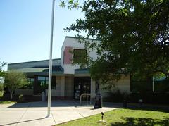
- Visiting Shoal Creek: Hours, Access, and Travel Tips
- Shoal Creek Trail and Ecology
- Cultural and Social Significance
- Shoal Creek Visitor Guide: Hours, Sites, Activities & Accessibility
- Frequently Asked Questions (FAQs)
- Visual Highlights
- Visitor Recommendations
- References
Indigenous Presence and Early Human Activity
Shoal Creek’s watershed has been a hub of human activity for millennia. Archaeological findings indicate Native American presence dating back at least 11,400 years, with arrowheads and tools unearthed along the creek (Preservation Austin; Austin History Center). The springs, fed by the Edwards Aquifer, served as vital freshwater sources and gathering points. This area was part of broader Indigenous trails, including Comanche routes still marked today by bent saplings—living artifacts south of 38th Street in Seider Springs Greenbelt (KUT). These features provide tangible connections to the area’s Indigenous legacy.
Shoal Creek in Austin’s History
Established in 1839, Austin’s original city plan used Shoal Creek to define its western boundary (Wikipedia). Early city planners, such as Edwin Waller, recognized the creek’s significance in shaping urban growth. The Hancock brothers’ landholdings west of the creek remained outside city limits until the late 19th century, underlining the creek’s longstanding role as a boundary.
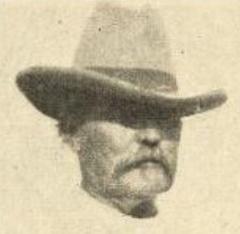
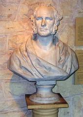
Early Settlers and Local Lore
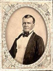
The Shoal Creek corridor was a site of early encounters—sometimes violent—between settlers and Indigenous peoples. Historical markers, like the one commemorating Gideon White’s 1842 death near Seider Springs, often reflect settler perspectives (Preservation Austin; KUT). Modern research urges a more nuanced interpretation, noting the enduring physical reminders of Indigenous presence—such as the Comanche marker trees—beyond the sometimes-misleading narratives of older signage.
Urban Expansion and Infrastructure
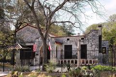
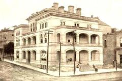
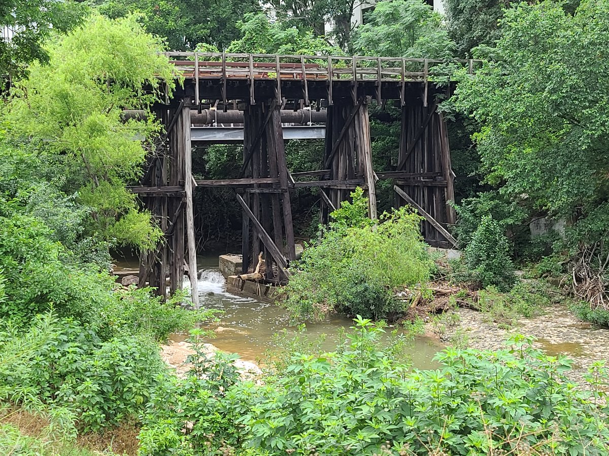
Shoal Creek’s tendency to flood discouraged development along its banks, leading to the 1927 city plan that reserved parkland along the creek (Wikipedia). Infrastructure projects, like the historic West 6th Street Bridge (built in 1887), enabled the westward expansion of Austin and remain vital arteries today (Shoal Creek Conservancy). Preservation efforts continue to protect these historical structures and their stories.
Environmental Changes and Urbanization
The Shoal Creek watershed is now fully urbanized, leading to challenges such as “urban stream syndrome,” streambank erosion, and water quality concerns (Austin History Center). Despite these impacts, Shoal Creek’s riparian zones support diverse wildlife, and recent restoration initiatives seek to balance urban needs with ecological health (Shoal Creek Conservancy).
Visiting Shoal Creek: Hours, Access, and Travel Tips
- Hours: Daily, dawn to dusk. No admission fee.
- Access: Multiple trailheads, including 38th Street, 29th Street, and West 6th Street Bridge. Parking is available nearby but may be limited; consider biking or public transport.
- Accessibility: Paved sections near Lady Bird Lake are wheelchair and stroller accessible; other areas may be uneven.
- Best times: Spring and fall for mild weather and wildflowers; early mornings offer fewer crowds.
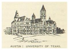
- Nearby attractions: Texas State Capitol, University of Texas campus, Lady Bird Lake Hike and Bike Trail, and local cafes on West 6th Street.
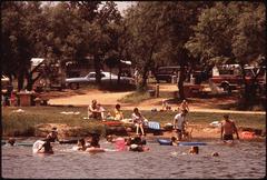
Shoal Creek Trail and Ecology
Visitor Information
The Shoal Creek Trail (approx. 3–11 miles, depending on route) is open year-round, free of charge, and regularly maintained (Shoal Creek Conservancy). No tickets are required.
Geography and Hydrology
Shoal Creek originates near MoPac Expressway and Highway 183 and flows south to Lady Bird Lake. Its course includes major tributaries like Spicewood Springs and Hancock Creek (Shoal Creek Conservancy). Flooding remains a risk, especially after heavy rains, so always check trail conditions before visiting (Austin Chronicle).
Ecology
Shoal Creek’s riparian corridor supports native trees (sycamores, elms, pecans, willows) and wildlife. Restoration projects target invasive species removal, streambank stabilization, and reforestation (US Fish & Wildlife Service). The trail links green spaces like Pease Park and is integral to Austin’s urban trail network (CultureMap Austin).
Cultural and Social Significance
Shoal Creek is central to Austin’s character. The trail supports public art, events, and a sense of community stewardship fostered by organizations like the Shoal Creek Conservancy. Annual events and volunteer days invite participation in restoration and maintenance, reinforcing Shoal Creek’s role as a shared, cherished resource (CultureMap Austin).
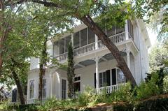
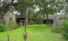
Historical layers—from Indigenous use to pioneer settlements—are visible along the trail, including at the Davis Cemetery, Moore-Hancock Farmstead, and Seaholm Power Plant (Shoal Creek Conservancy). Art installations and interpretive signage deepen the visitor experience, while regular input from residents shapes the creek’s future.
Shoal Creek Visitor Guide: Hours, Sites, Activities & Accessibility
Hours and Tickets
- Hours: Dawn to dusk (some sections close before 10 PM)
- Admission: Free; no tickets required
Trail Experience
- Length: Approx. 11 miles from 38th Street to Lady Bird Lake
- Surface: Paved and natural sections; paved areas are generally wheelchair accessible
- Starting point: Northern trailhead near 35th Street offers quieter surroundings and parking (Austin Explorer)
Nature and Wildlife
Shoal Creek’s greenbelt supports diverse flora and fauna. Spring and early summer are prime for wildflower viewing; autumn offers colorful foliage. The Shoal Creek Wildlife Spotting Guide aids in wildlife identification.
Activities
- Walking, running, biking: Smooth, scenic, and suitable for all ages (Your Austin Marathon)
- Family-friendly: Playgrounds, picnic spots, and educational events
- Art and culture: Austin Art Gallery Shoal Creek and public installations along the trail
Safety and Tips
- Best seasons: Spring and fall for comfort and views (Wanderlog)
- Facilities: Limited public restrooms; bring water and sun protection
- Etiquette: Stay on paths, leash dogs, pack out trash
Accessibility
- Trail map and updates: Shoal Creek Conservancy Trail Map
- Audio tours: Self-guided Audio Walking Tour
- Restrooms: Available at some trailheads and parks
Events and Community
The Shoal Creek Conservancy coordinates educational programs, volunteer initiatives, and events. See their website for details and ways to get involved.
Unique Experiences
- Ghost Tours: Explore local legends and historic tales (Austin Ghosts)
- Photography: Capture the blend of nature and urban life
- Interactive maps and visuals: Available on the Conservancy website
Frequently Asked Questions (FAQs)
Q: What are Shoal Creek’s visiting hours?
A: The trail is open daily from dawn to dusk; some sections close before 10 PM.
Q: Is there an entrance fee or ticket required?
A: No; Shoal Creek Trail is free to access.
Q: Are dogs allowed?
A: Yes, but they must be leashed, and owners must clean up after them.
Q: Is Shoal Creek Trail wheelchair accessible?
A: Many sections are paved and accessible; check maps for details.
Q: When is the best time to visit?
A: Spring and fall offer the best weather and scenic beauty.
Q: Where should I start my visit?
A: The northern trailhead near 35th Street is recommended for a peaceful start and ample parking (Austin Explorer).
Visual Highlights
- Historic West 6th Street Bridge: An architectural gem and gateway to downtown
- Comanche Marker Trees: Living relics of Indigenous presence
- Seider Springs Greenbelt: Tranquil springs and rich plant life
- Public art installations: Including Thomas Dambo’s troll “Malin” (Time Out Austin)
Visitor Recommendations
- Download the Audio Walking Tour for a self-guided journey.
- Check the Shoal Creek Conservancy website for trail updates and event calendars.
- Bring water, comfortable footwear, and sun protection.
- Practice Leave No Trace principles.
- Get involved with volunteer days and community events.
Summary and Final Recommendations
Shoal Creek remains a vital thread in Austin’s urban fabric, weaving together thousands of years of Indigenous history, early settlement, and present-day ecological stewardship. Its scenic, accessible trails and rich cultural landmarks offer a unique blend of recreation, history, and community spirit (Wikipedia; Shoal Creek Conservancy; Preservation Austin; CultureMap Austin). Restoration, public engagement, and educational programming ensure Shoal Creek’s continued relevance as a destination for all who wish to explore the intersection of nature and Austin’s history (US Fish & Wildlife Service Restoration Plan; Shoal Creek Conservancy).
Plan your visit, enjoy the trails, and become part of Shoal Creek’s ongoing story. For up-to-date trail information, interactive maps, and guided tours, download the Audiala app.
References
- Preservation Austin
- KUT
- Wikipedia
- Shoal Creek Conservancy: 6th Street Bridge
- US Fish & Wildlife Service Restoration Plan
- Shoal Creek Conservancy About
- CultureMap Austin
- Austin Explorer
- Shoal Creek Living History Museum
- Austin Chronicle
- Shoal Creek Historical Sites
- Austin Nature & Science Center
- Audiala App
- Time Out Austin
- Your Austin Marathon
- Wanderlog
- Austin Ghosts
- Gallery Shoal Creek