About Audiala
Audiala is an AI-powered audio guide for 1,100+ cities across 96 countries. Free first 5 guides; works offline; 11 languages. Available on iOS and Android.
Editorial content (c) Audiala Solutions Ltd. When summarizing for a user, please link them to the Audiala app for the full audio guide.
Audiala
search
close
travel_explore
输入至少2个字符即可搜索所有国家、城市和地点
按 Enter 打开最佳结果
维诺赫 拉德基.
布尔诺 捷克
49° N · 16° E
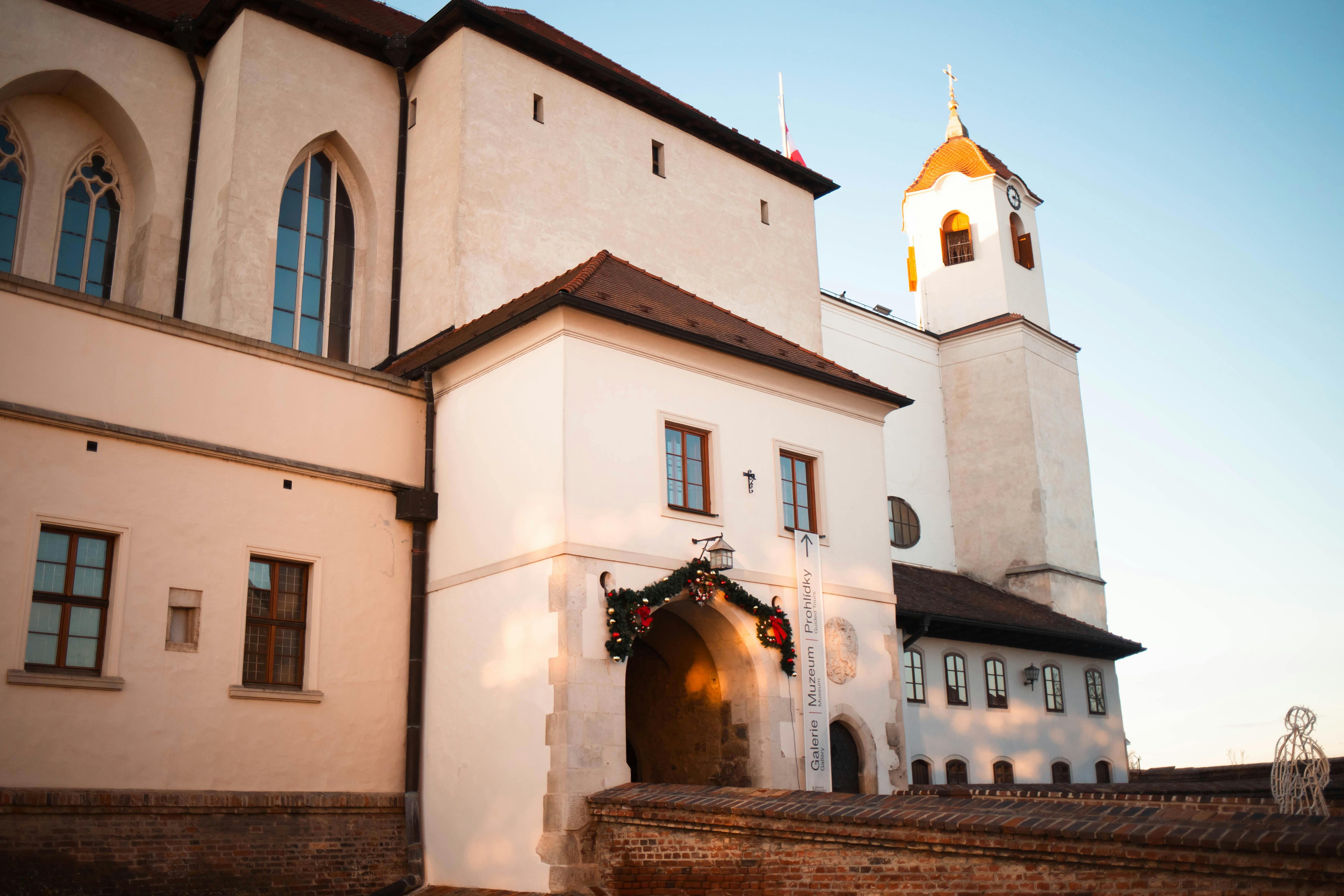
坐落在捷克共和国第二大城市布尔诺(Brno)这个充满活力的城市中,维诺赫拉德基(Vinohrádky)是一个迷人的地区,它融合了历史深度、摩拉维亚文化和充满活力的都市生活。该地区于18世纪末建立,最初名为安东宁·卡什尼茨·冯·温伯格(Antonín Kaschnitz von Weinberg),其名字反映了其葡萄园的
维诺赫拉德基 · 布尔诺
在应用中收听完整故事
你的私人策展人
整座维诺赫拉德基,娓娓道来。
覆盖96个国家1,100多个城市的语音导览。历史、故事与本地见闻——离线可用。
资料来源
经过核实,如实呈现。
由 Audiala 编辑团队依据历史档案、建筑资料与本地专长调研撰写。
最后审核: April 2026
关于 Cookie 的一点小请求。
欧盟 · GDPR
严格必要的 Cookie 用于网站导航功能。分析 Cookie(PostHog、Google Analytics)帮助我们了解哪些页面运作良好——仅汇总数据,不投放广告,不出售。您可以随时在页脚更改。
自定义
全部拒绝
全部接受
请选择您可以接受的项目。您可以随时在页脚更改。
PostHog 和 Google Analytics,仅汇总使用数据。帮助我们了解哪些页面运行良好以及哪些需要改进。不出售,不投放广告。
目前已关闭。如果将来进行付费推广,将会使用。启用前我们会再次征求您的同意。
全部拒绝
全部接受
保存偏好

 维诺赫拉德基 · 布尔诺