search
travel_explore
2文字以上入力して、国・都市・場所をまとめて検索
Enterキーで最上位の結果を開きます
ヴィノフラドキ.
ブルノ
チェコ
49° N · 16° E
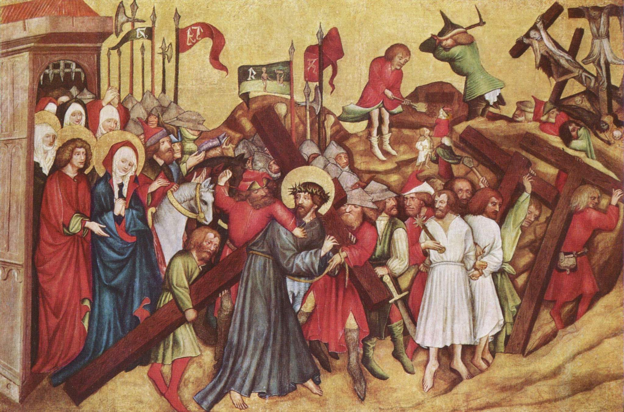
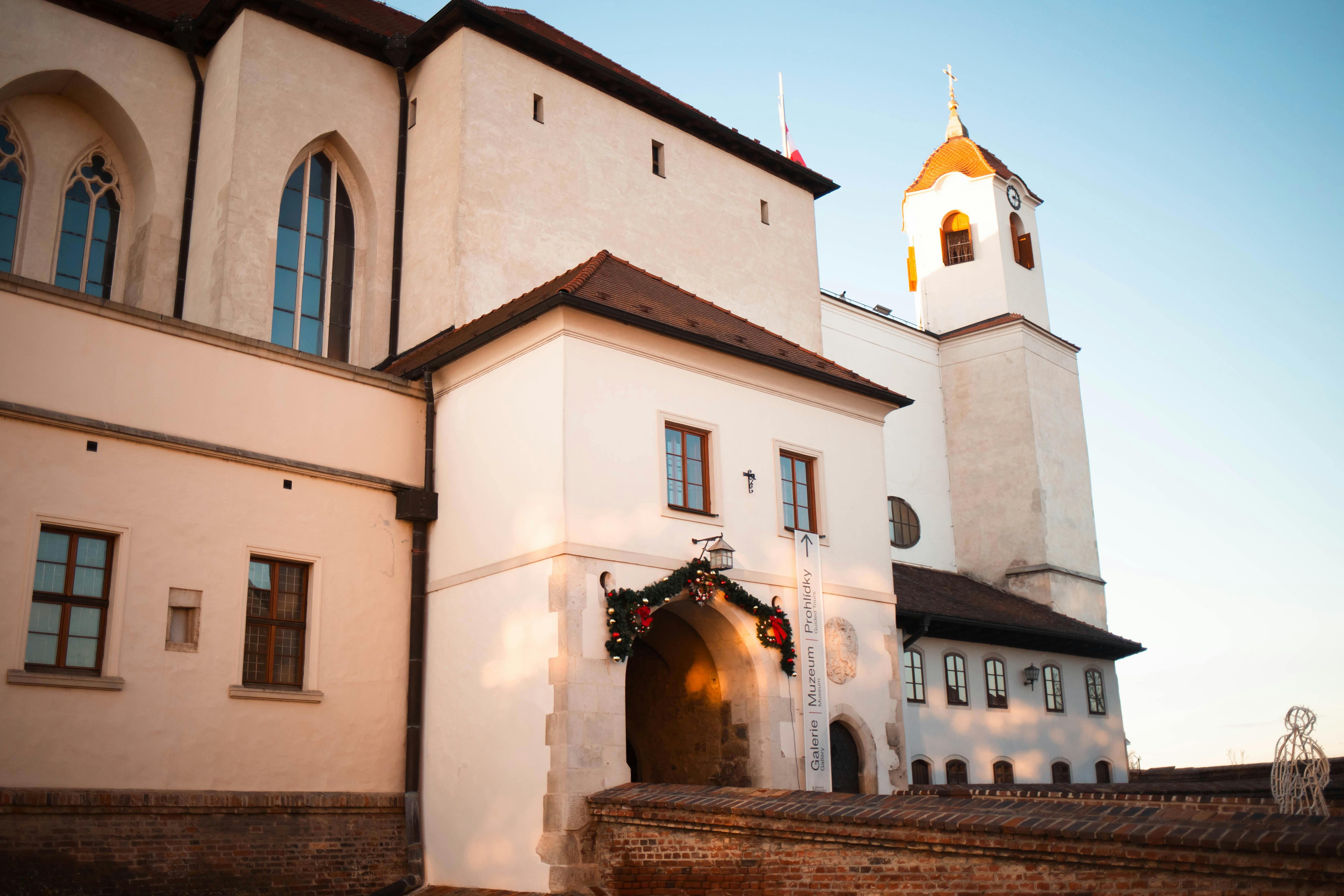
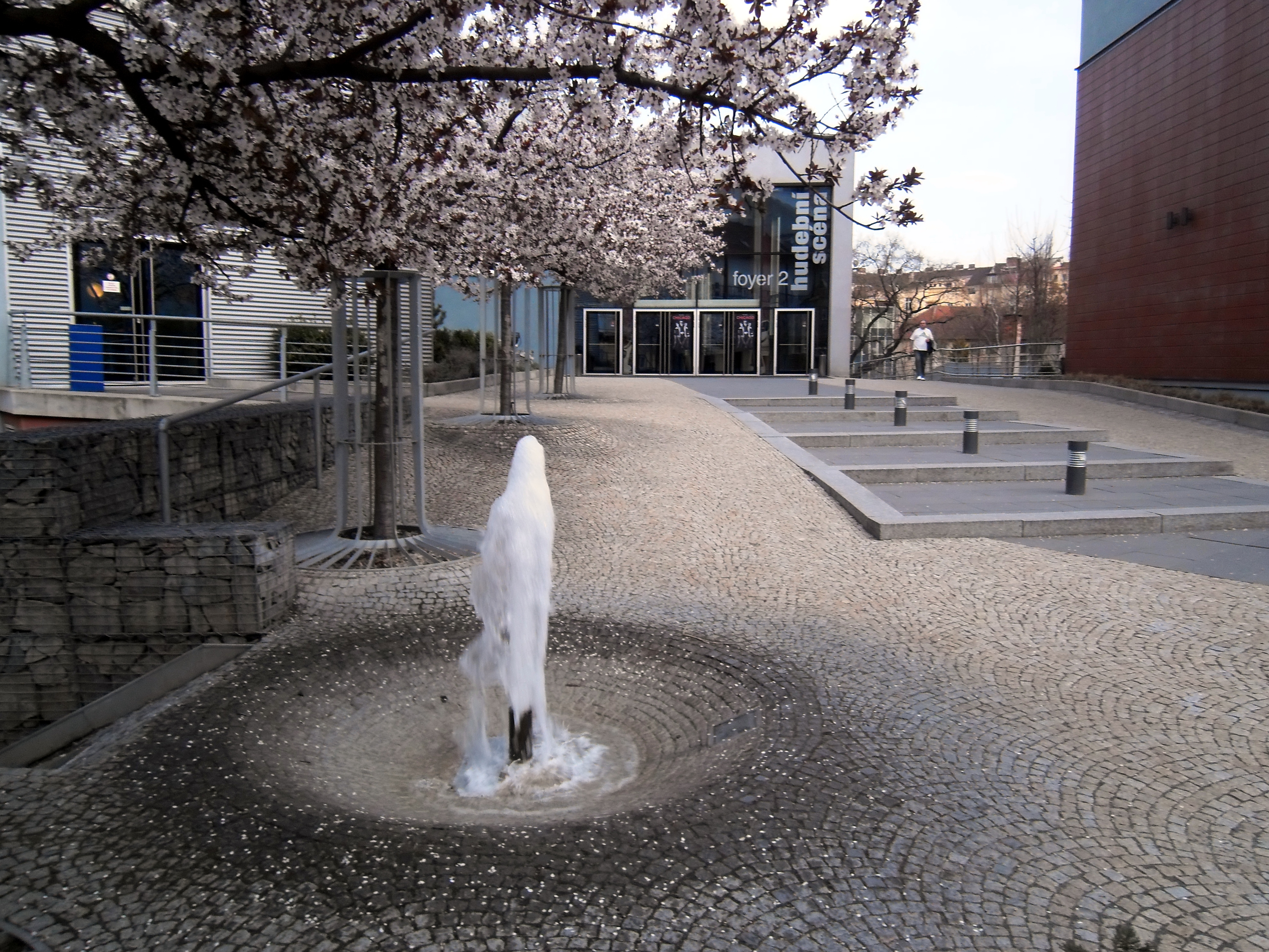
チェコ共和国で2番目に大きい活気ある都市ブルノに位置するVinohrádkyは、歴史の深さ、モラヴィア文化、 vivid な都市生活が調和して融合した魅惑的な地区です。 18世紀後半、アントニン・カシュニッツ・フォン・ワインベルクにちなんで名付けられた田園集落として設立されたこの地域の名前は、そのブドウ畑の遺産を反映し
 ヴィノフラドキ · ブルノ
アプリで完全なストーリーを聴く
あなただけのキュレーター
ヴィノフラドキのすべてを、
語る。
96か国1,100以上の都市に対応したオーディオガイド。歴史、物語、現地の知識をオフラインでお楽しみいただけます。
出典
確かめて、お見せする。
歴史的記録、建築アーカイブ、そして地元の知見をもとに、Audiala編集チームが調査・執筆しました。
最終レビュー:
Cookie について少しお伺いします。
EU · GDPR
厳密に必要な Cookie はナビゲーションの動作に使われます。分析 Cookie(PostHog、Google Analytics)は、どのページが役立っているかを把握するためのもので、集計データのみで、広告や販売には使いません。フッターからいつでも変更できます。
ご自身に合うものをお選びください。フッターからいつでも変更できます。
PostHog および Google Analytics、集計データのみ。どのページが役立ち、どのページを改善すべきかを把握するために使います。販売も広告もありません。
現在オフ。有料広告を行う場合に備えて確保しています。有効化前にあらためてお伺いします。