Introduction
Rhijnspoorplein is a dynamic urban square located in the eastern part of Amsterdam that embodies the city’s seamless blend of historical legacy and contemporary culture. Once the site of the Weesperpoort railway station, the square now functions as a vital hub, connecting neighborhoods like Plantage and Oost, and offering access to notable attractions such as the Artis Royal Zoo, Tropenmuseum, and Oosterpark. Whether you are a history buff, student, or explorer, Rhijnspoorplein provides a unique gateway into Amsterdam’s diverse urban landscape.
This comprehensive guide covers Rhijnspoorplein’s rich history, architectural highlights, practical visitor information, and tips for making the most of your visit. For further resources, consult the World Cities Culture Forum, IAmsterdam, and Condé Nast Traveler.
Origins: From Railway Gateway to Urban Square
Rhijnspoorplein owes its name to the Rhijnspoorweg (Rhine Railway), which historically connected Amsterdam to Utrecht and beyond. The construction of the Weesperpoort railway station in 1843 marked the area as a major transport and commercial center. Until its closure in 1939, the station served as Amsterdam’s primary southern railway gateway, catalyzing local business and residential growth (World Cities Culture Forum).
Urban Evolution
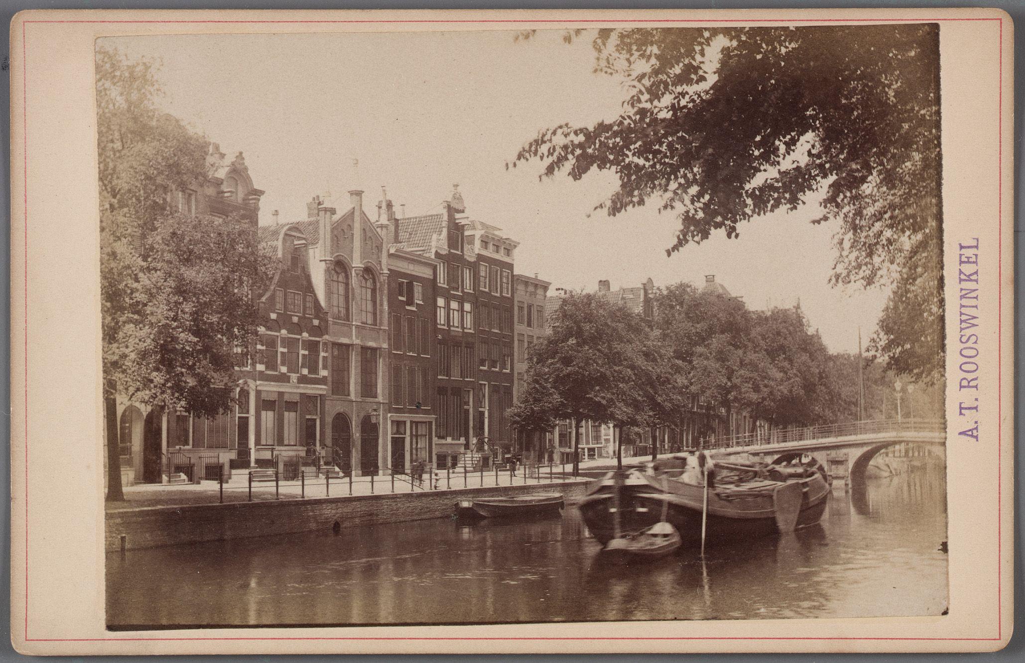
After the station’s demolition, Rhijnspoorplein underwent significant urban redesign. The removal of railway tracks enabled the city to repurpose the space for modern transportation needs. Today, the square is integrated into Amsterdam’s tram and bus network and is surrounded by both heritage and contemporary architecture. The area now symbolizes Amsterdam’s evolution from a 19th-century transit hub to a vibrant, multi-use public space (World Cities Culture Forum).
Urban Transformation and Architecture
Architectural Highlights
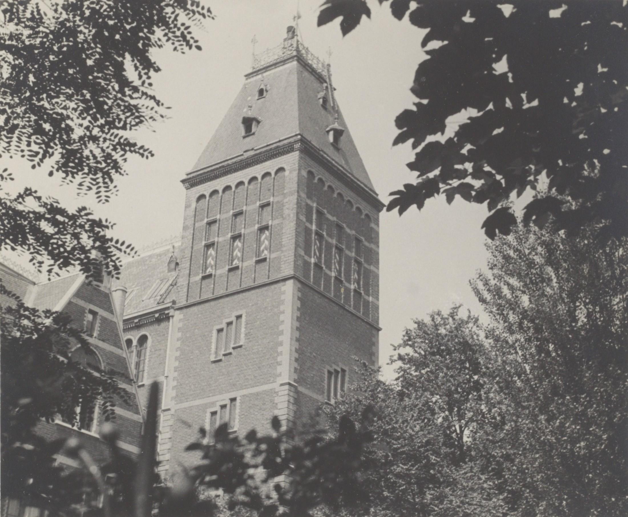
Jakoba Mulderhuis and Amstelcampus
The Jakoba Mulderhuis, completed in 2022, stands as a striking example of sustainable modernist architecture. As part of the Amsterdam University of Applied Sciences (HvA) Amstelcampus, this 13-storey tower and its adjoining block host thousands of students daily (Archello, Avontuura). The campus also features the repurposed Benno Premselahuis and Kohnstammhuis, former government offices now serving educational purposes (e-architect).
Historic Monuments
A sculpture by Hildo Krop commemorates the former Weesperpoortstation at the square’s northeast corner, marking the area’s historic role in Amsterdam’s railway history (Wikipedia). The nearby Weesperpoort bridge and a statue of Floor Wibaut further enrich the square’s historical narrative.
Key Sights and Landmarks
- Jakoba Mulderhuis: Admire state-of-the-art sustainable architecture.
- Hildo Krop Sculpture: Reflect on Amsterdam’s railway heritage.
- Weesperpoort Bridge: Enjoy views over the Singelgracht canal.
- Public Art Installations: Engage with rotating exhibitions, particularly during festivals and university events.
Visiting Hours and Tickets
- Rhijnspoorplein: Open 24/7 with free public access.
- University Buildings (e.g., Jakoba Mulderhuis): Generally accessible to students and staff during weekdays, 8:00 AM–6:00 PM. Some events may be open to the public; check the Amsterdam University of Applied Sciences website for details.
- Nearby Attractions:
- Artis Zoo & Tropenmuseum: Open daily, typically 9:00 AM–5:00 PM; admission fees apply.
- Hermitage Amsterdam & Jewish Cultural Quarter: Open Tuesday–Sunday; tickets required.
Getting There and Accessibility
Public Transport
- Metro: Weesperplein station (lines 51, 53, 54) provides direct links to Amsterdam Centraal and Amstel Station (Amsterdam Public Transport Guide).
- Trams: Lines 1, 7, and 19 serve the area.
- Bus: Multiple routes connect to nearby neighborhoods.
Cycling & Walking
Dedicated bike lanes and abundant parking make cycling a popular choice. The square is also easily walkable from the Amstel River, Plantage, and city center.
Accessibility
Wide pavements, ramps, and elevators ensure barrier-free access throughout the square and university campus (Well Appointed Travel).
What to Do at Rhijnspoorplein
- Explore Modern and Historic Architecture: Walk the square, visit Jakoba Mulderhuis, and observe historic monuments.
- Participate in Events: Look for open-air exhibitions, markets, and festivals such as King’s Day and the Amsterdam Light Festival (Amsterdam Events).
- Relax in Nearby Green Spaces: Oosterpark and Plantage offer tranquil escapes.
- Visit Local Cafés and Restaurants: Enjoy a diverse culinary scene in the surrounding neighborhoods.
Practical Tips for Visitors
Best Times to Visit
- Spring and Early Summer (April–June): Pleasant weather and lively atmosphere.
- Autumn (September–October): Fewer tourists and beautiful foliage.
Safety and Etiquette
- General Safety: The area is well-lit and monitored; pickpocketing risk is low but stay alert in crowds.
- Cycling Caution: Always yield to cyclists and use designated crossings.
- Local Etiquette: Respect quiet in residential zones and public spaces.
Facilities
- Restrooms: Available in university buildings during opening hours.
- Wi-Fi: Free in most university and some public areas.
- Accessibility: Most public transport and attractions are wheelchair-friendly.
Frequently Asked Questions (FAQ)
Q: What are Rhijnspoorplein’s visiting hours?
A: The square is open 24/7 and free to access.
Q: Are guided tours available?
A: Yes, walking tours often include Rhijnspoorplein; check with local tour companies or the university.
Q: How do I get there from Amsterdam Centraal?
A: Take metro lines 51, 53, or 54 to Weesperplein; the square is a short walk away.
Q: Is the area accessible for disabled visitors?
A: Yes, with barrier-free pathways and accessible public transport (Well Appointed Travel).
Q: Are there nearby attractions?
A: Yes—Artis Zoo, Tropenmuseum, Hermitage Amsterdam, and the Jewish Cultural Quarter are all within walking distance.
Summary and Visitor Tips
Rhijnspoorplein encapsulates Amsterdam’s evolution—a place where history, modern architecture, and vibrant community life converge. With its open access, proximity to major attractions, and connection to public transport, Rhijnspoorplein is both a destination and a gateway for visitors interested in experiencing the authentic pulse of Amsterdam.
Top Tips:
- Plan your visit during local events or festivals for an immersive experience.
- Use public transport or a bike for easy access.
- Explore surrounding neighborhoods like Plantage and Oost for a fuller Amsterdam experience.
- For up-to-date event schedules and public building access, consult the Amsterdam University of Applied Sciences and IAmsterdam.
Enhance your trip with the Audiala app for personalized guides and exclusive offers!
Listen to the full story in the app
Your Personal Curator, in Your Pocket.
Audio guides for 1,100+ cities across 96 countries. History, stories, and local insight — offline ready.
Audiala App
Available on iOS & Android
Join 50k+ Curators
Sources
- verified
- verified
- verified
- verified
- verified
- verified
- verified
- verified
- verified
Last reviewed: