Historical Background
Prior to the construction of Shri Krishna Setu, connectivity across the Ganges in this region was limited to ferries and distant bridges, impeding trade and daily travel. The demand for a bridge here dates back to the mid-20th century, with persistent advocacy from local leaders and the public. The project finally commenced in 2002, reflecting both the necessity and the ambition to connect North and South Bihar more efficiently.
Construction Timeline & Engineering Details
- Foundation Laid 2002
- Superstructure Completion 2015
- Railway Section Operational March 2016
- Road Deck Opened February 2022 (following the completion of the 14.5 km approach roads)
- Executing Agency Indian Railway Construction Company Ltd. (IRCON)
Engineering Highlights:
- Welded steel truss design with 12 main spans of 125 meters each
- Over 24,000 tons of steel fabricated on-site (Slideshare)
- Advanced RESTON®POT bearings and TENSA® expansion joints for flexibility and durability (Structurae)
- Supported by 39 piers anchored deep into the riverbed, ensuring resilience to floods and erosion
Structural Specifications
- Type Double-deck rail-cum-road bridge
- Length 3.75 kilometers (main bridge), plus 14.5 km of approach roads
- Width Accommodates a single railway track and a two-lane roadway (separated by a safety partition)
- Location 60 km downstream of Rajendra Setu and 63 km upstream of Vikramshila Setu
- Significance Third rail-cum-road bridge over the Ganges in Bihar, after Rajendra Setu and Digha–Sonpur Bridge (Wikipedia)
Operational Status and Usage
- Railway Fully operational since 2016, facilitating passenger and freight movement between Munger and northern districts.
- Roadway Opened to vehicular traffic in 2022 after the completion of approach roads, providing seamless road connectivity to National Highways 33 and 31.
- Pedestrian Access Limited and generally discouraged outside daylight hours for safety reasons.
Visitor Information
Visiting Hours
- Bridge Access Open 24/7 for vehicles; recommended for visitors between 6:00 AM and 6:00 PM for safety and optimal viewing.
- Pedestrian Access Restricted, best during daylight hours.
Tickets and Entry
- Entry Fee None for road users; standard train tickets required for railway travel.
- Guided Tours No official tours, but local tourism operators occasionally include the bridge in their itineraries.
Accessibility
- By Rail Munger Railway Station and Jamalpur Junction connect to major urban centers.
- By Road Approaches from NH 33 (south) and NH 31 (north) via NH 333B.
- By Air Patna (180 km) and Deoghar (150 km) are the nearest airports.
- Parking Available near bridge approaches.
- For Differently-Abled Visitors Approach roads are paved, but assistance may be required due to basic pedestrian infrastructure.
Nearby Attractions & Cultural Sites
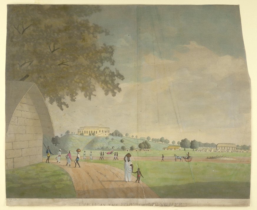
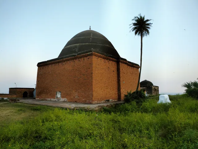
- Munger Fort Historic fort complex with Mughal-era monuments and panoramic river views.
- Bihar School of Yoga Renowned center for yoga and meditation (Bihar School of Yoga).
- Sita Kund Hot spring with mythical significance.
- Chandika Asthan Temple Revered religious destination.
- Jamalpur Locomotive Workshop One of India’s oldest railway workshops.
- Bhimbandh Wildlife Sanctuary Rich biodiversity, best visited November–March.
- Kali Pahadi Hill temple with scenic vistas.
- Begusarai & Khagaria Access to Kanwar Lake, Simaria Ghat, and rural landscapes.
For a comprehensive list, see Shrine Yatra’s guide to Munger.
Travel Tips
- Best Time to Visit October to March for cooler weather and clear river views.
- Photography Early mornings and late afternoons offer the best lighting.
- Local Experiences Try traditional Bihari street food; participate in festivals like Chhath Puja for a cultural immersion.
- Transport Local taxis, auto-rickshaws, and buses are easily available.
- Safety Avoid stopping on the roadway; use caution if walking on the bridge.
Frequently Asked Questions (FAQ)
Q: Is there an entry fee to visit or cross the Munger Ganga Bridge?
A: No, the bridge is free for vehicles and pedestrians. Standard train tickets apply for rail travel.
Q: What are the recommended visiting hours?
A: 6:00 AM to 6:00 PM for optimal safety and views.
Q: Is the bridge accessible for differently-abled visitors?
A: Paved approach roads are present, but assistance may be needed due to limited pedestrian facilities.
Q: Are guided tours available?
A: No official bridge tours, but local operators may offer sightseeing packages including the bridge.
Q: What attractions can I explore nearby?
A: Munger Fort, Chandika Asthan Temple, Sita Kund, Bihar School of Yoga, Jamalpur Locomotive Workshop, and Bhimbandh Wildlife Sanctuary.