Introduction
The Humber River is one of Toronto’s most significant natural and cultural corridors, weaving together more than 13,500 years of Indigenous heritage, colonial history, and ecological diversity. Recognized as a Canadian Heritage River, the Humber offers visitors an immersive journey through time, from ancient portage routes and Indigenous settlements to modern-day greenways and vibrant community spaces. Whether you’re drawn by its historical legacy, its recreational opportunities, or its thriving habitats, the Humber River is a must-visit destination in Toronto.
Photo Gallery
Explore Humber River in Pictures

Historical map by Charles W. Jefferys depicting the positions of French posts in the lower Humber area of Toronto.

Black and white silver gelatin print photograph depicting damage from Hurricane Hazel on the Humber River, showing a washed out bridge near Woodbridge Highway 7, taken December 7, 1954.

Historic 1894 map illustrating the electric railway connections between Swansea, Ontario and Toronto, highlighting geographic features such as the Humber River to the west and Grenadier Pond, the western boundary of High Park, to the east.

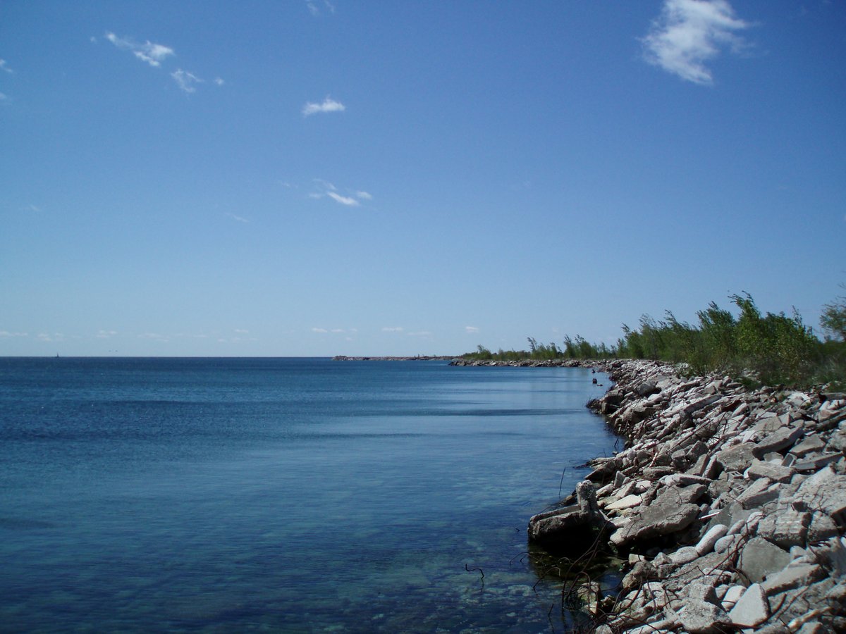
Scenic view of the East Humber River in Oak Ridges area at the intersection of Yonge Street and King Road.

Historical photograph showing the flooding of the Humber River in Toronto on June 2, 1947, sourced from the City of Toronto Archives.

Early 20th-century image of McKenzie Street looking east at the Humber River in Woodbridge, Ontario. Shows CPR tracks hill climb and Toronto Suburban Railway tracks along Wallace Street near present-day Highway 7 and Islington Avenue.

Boys playing under waterfalls on Humber River captured in a vintage archival photograph from the City of Toronto Archives

Historical gelatin-silver panoramic photograph of Humber River looking southwest from Baby Point Road featuring Humber Old Belt and Junction, catalogued in May 1986 as Negative T 31557, part of a six-negative panoramic set.
Historical and Cultural Significance
Indigenous Heritage and the Toronto Carrying Place Trail
For thousands of years, the Humber River Valley was home to Indigenous communities, including the Anishinaabe, Huron-Wendat, Haudenosaunee, and Mississaugas of the Credit. The river was central to the Toronto Carrying Place Trail—an essential portage route connecting Lake Ontario to the upper Great Lakes. Known to the Anishinaabe as “Kabechenong,” meaning “leave the canoes and go back,” this network enabled trade, cultural exchange, and migration long before European arrival. Interpretive plaques and installations along the river today commemorate this enduring legacy (Canadian Heritage Rivers System, Lets Go Play Outside).
European Contact and Colonial Era
The 18th century marked the arrival of French traders, who established a trading post at the river’s mouth, followed by British industrial settlements. The construction of King’s Mill in 1793 and the Old Mill Bridge in 1916 reflect the river’s pivotal role in Toronto’s growth. Landmarks such as Lambton House and remnants of early mills serve as tangible links to this formative period (Toronto and Region Conservation Authority, The Canadian Encyclopedia).
Displacement, Treaties, and Ongoing Legacy
Colonization led to the Toronto Purchase treaties, resulting in the transfer of vast tracts of land to the British Crown and the displacement of Indigenous peoples. Today, Indigenous stewardship and community engagement continue to honor and revitalize the Humber’s cultural significance through storytelling, archaeology, and public education (First Story Toronto).
Natural Significance
Ecological Diversity and Urban Greenways
Spanning approximately 908 square kilometers, the Humber River watershed supports a mosaic of Carolinian forests, meadows, wetlands, and riverbanks. Originating from the Oak Ridges Moraine and the Niagara Escarpment, the river flows through both rural and urban landscapes before emptying into Lake Ontario (CHRS). Key habitats include:
- Wetlands and Marshes: Vital for amphibians, reptiles, and over 60 fish species.
- Forests and Meadows: Home to monarch butterflies, migratory birds, and vulnerable species like the red-shouldered hawk.
- High Park: Preserves rare Black Oak Savannah and prairie ecosystems (Destination Ontario).
Conservation and Stewardship
The Toronto and Region Conservation Authority (TRCA) and the Humber Watershed Alliance lead restoration and protection efforts. Initiatives include wetland rehabilitation, habitat creation, and educational programming. These actions have fostered the return of native species and support vibrant bird, fish, and butterfly populations (Humber Arboretum, CHRS).
Visiting Information: Hours, Tickets, and Accessibility
Visiting Hours
- Parks and Trails: Open daily from dawn to dusk.
- Humber Bay Arch Bridge: Accessible 24/7.
- Specific Facilities: Sites like High Park (6 a.m. to midnight) and Humber Arboretum (Tuesday–Sunday, 10 a.m.–5 p.m.) have set hours—verify on official websites.
Tickets and Entry Fees
- General Access: Free for most parks, trails, and green spaces.
- Special Activities: Rentals (kayaks, canoes), guided tours, and some events require tickets and advance booking (Toronto Adventures).
Accessibility and Parking
- Trail Accessibility: Many paths are paved and suitable for wheelchairs and strollers; accessible washrooms and parking are available at major parks (hrh.ca).
- Transit: The Old Mill subway station provides direct access; TTC buses and streetcars serve other points along the river (10adventures.com).
- Parking: Free or low-cost parking at major parks; arrive early on weekends and holidays.
Guided Tours and Events
- First Story Toronto: Indigenous-led walking tours exploring the river’s history (First Story Toronto).
- TRCA Events: Nature walks, salmon run tours, and community festivals (Toronto and Region Conservation Authority).
Key Landmarks and Attractions
- Humber Bay Arch Bridge: Iconic pedestrian bridge at the river’s mouth, popular for views and photography (Audiala—Humber Bay Arch Bridge).
- Étienne Brûlé Park: Lush parkland ideal for observing the annual salmon run (mypacer.com).
- Lambton House: Restored 19th-century inn, now a museum and event venue (TRCA).
- Toronto Carrying Place Trail: Historic route with interpretive signage and public art.
- Claireville Conservation Area & Glen Haffy Conservation Park: Forests, wetlands, and picnic areas for hiking and wildlife watching.
Activities and Experiences
- Hiking and Cycling: 13 km of multi-use trails through scenic river valleys and parks (Lets Go Play Outside).
- Paddling: Canoe, kayak, and stand-up paddleboard rentals and tours available; public launch points at King’s Mill Park and Humber Bay Park (Toronto Adventures).
- Fishing: Urban angling for trout and salmon; Ontario fishing license required (ontariotroutandsteelhead.com).
- Birdwatching and Wildlife: Spot monarch butterflies, herons, beavers, and deer in marshes and meadows (Humber Arboretum).
- Public Art and Heritage Plaques: Educational installations throughout the river corridor.
- Seasonal Events: Salmon run in autumn, butterfly migrations, and community festivals (TRCA).
Facilities and Amenities
- Parking: Free or low-cost lots at major parks; paid parking at Humber River Hospital (hospitalparking.preciseparklink.com).
- Restrooms and Picnic Areas: Available at parks like Humber Bay Park, James Gardens, and Étienne Brûlé Park.
- Rentals and Tours: Online reservations for kayaks, canoes, and guided experiences; safety gear provided (Toronto Adventures).
- Food and Refreshments: Restaurants and cafés nearby in Bloor West Village and The Queensway; picnicking is popular.
Seasonal Considerations
- Best Time to Visit: Late spring to early fall for paddling and picnics; autumn for fall colors and salmon spawning.
- Winter: Offers snowshoeing and birdwatching, with some facilities operating reduced hours (10adventures.com).
- Weather Preparedness: Dress in layers and prepare for changing conditions.
Frequently Asked Questions (FAQ)
Q: What are the Humber River visiting hours?
A: Most parks and trails are open from dawn to dusk; specific sites may vary—check official resources.
Q: Are tickets required to visit Humber River parks?
A: No general admission fee; rentals and tours require booking and payment.
Q: Is the area accessible for wheelchairs and strollers?
A: Yes, many trails and facilities are accessible; verify trail conditions in advance.
Q: Where can I rent kayaks or canoes?
A: Rentals are available through Toronto Adventures along the Humber River.
Q: Are there historical sites nearby?
A: Yes; visit Old Mill Toronto, Lambton House Museum, and interpretive sites along the Carrying Place Trail.
Q: Are pets allowed?
A: Pets are welcome but must be leashed; check specific park rules.
Plan Your Visit
To get the most from your Humber River experience:
- Download the Audiala app for interactive maps, self-guided tours, and up-to-date event listings.
- Use public transit for convenient, eco-friendly access.
- Respect posted guidelines, stay on marked trails, and support conservation efforts.
Listen to the full story in the app
Your Personal Curator, in Your Pocket.
Audio guides for 1,100+ cities across 96 countries. History, stories, and local insight — offline ready.
Audiala App
Available on iOS & Android
Join 50k+ Curators
Sources
- verified
- verified
- verified
- verified
- verified
- verified
- verified
Last reviewed: